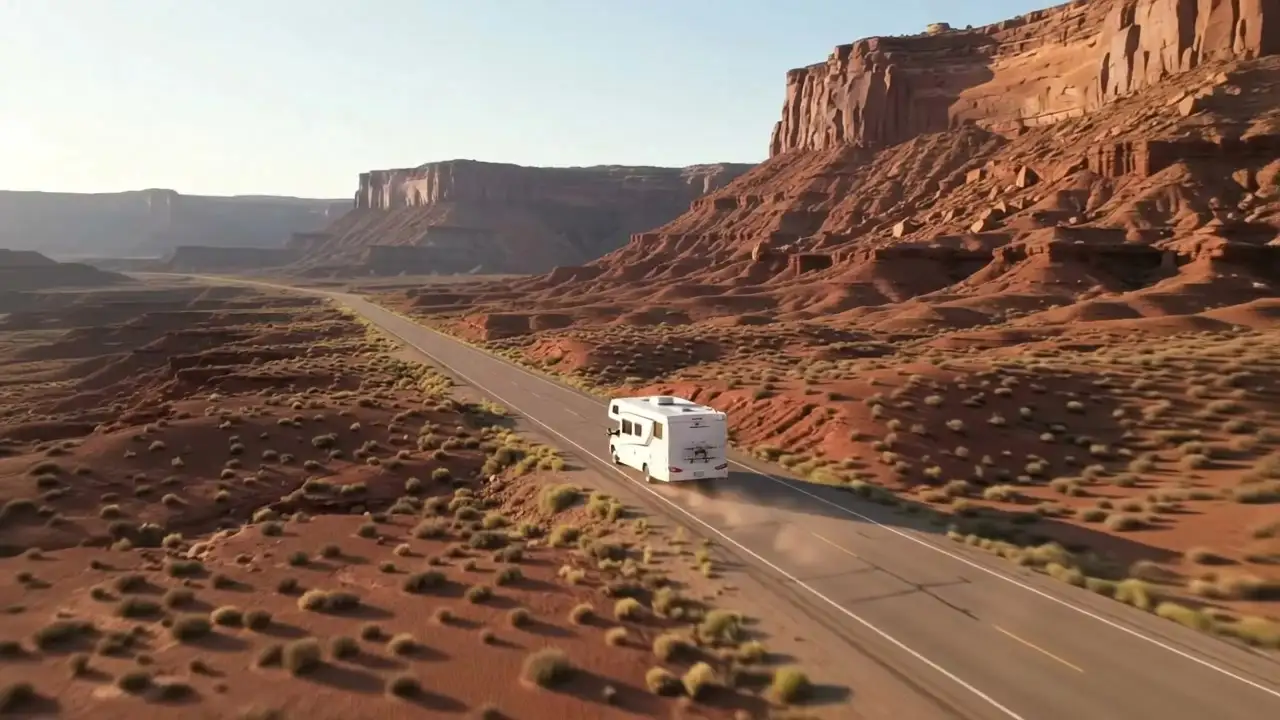
 Video: AI-generated
Road trip & camping planner for the USA, Europe and AustraliaFind the stops worth the detour
Tell us where you’re starting and where you’re going. CampingSpirit maps the route, finds the campsites, lakes, castles and mountain passes along it, and warns you about tolls and city zones.
Ready-made routes
Open any route in your planner and change it however you like.

 © Bob Linsdell · CC BY 3.0
Fall color: the Kancamagus to Acadia

 Photo by Rob Menting on Unsplash
Tuscany and Lazio by motorhome

 © Avcer0 · CC BY-SA 4.0
From the Bay of Islands to Cape Reinga and back

 Photo by Tim Mossholder on Unsplash
Oregon Coast on US-101

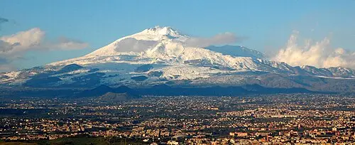 © BenAveling · CC BY-SA 4.0
Sicily loop: temples, Etna and Baroque towns

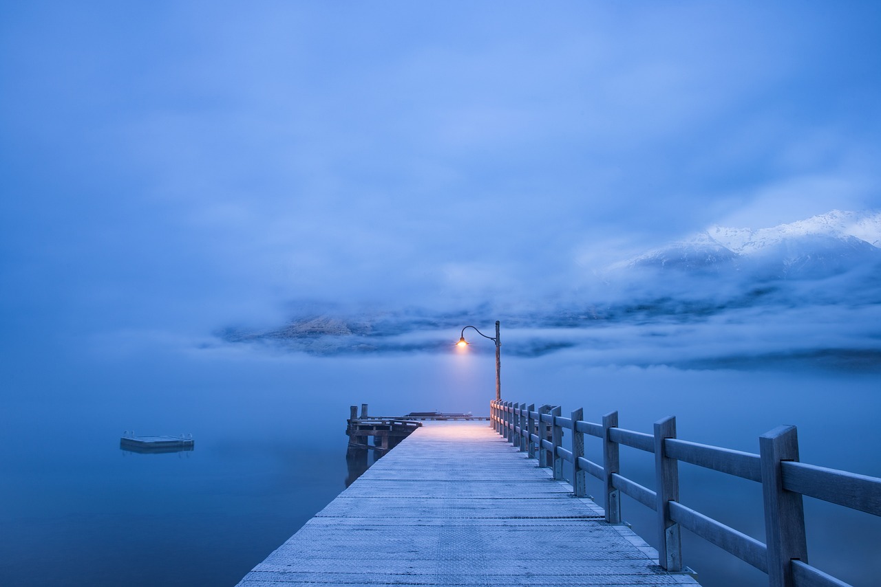 © Ivyluphotography · Pixabay Content License
The Kauri Coast and Hokianga from Kaikohe to Matakohe
CampingSpirit is a road trip and camping planner for the USA, Europe and Australia. It brings together 1,393 ready-made routes, 3,890 hand-checked places and 76,503 campsites and motorhome stopovers in 40 countries. Data as of November 2026. How we check our data
Find your route faster
Good to go in November
Routes at their best right now: pleasant temperatures and open passes.
Day-by-day route guides

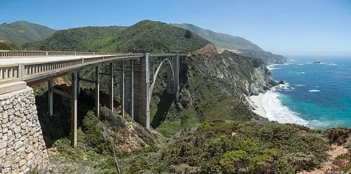 © Diliff · CC BY-SA 3.0
Fog, cliffs and elephant seals – the Pacific Coast Highway by camper

 Photo by John Lee on Unsplash
Turquoise lakes, wild rivers and gravel passes: by camper through Banff, Lake Louise and Kananaskis

 Photo by Joe Pohle on Unsplash
Lakes, loons and northern lights – by camper between the Boundary Waters, Lake Vermilion and Voyageurs National Park
 © 12019 · Pixabay Content License
Bison, chalk pyramids and wagon ruts – by camper along the Santa Fe Trail, through the Flint Hills and the Smoky Hills to Dodge City

 © Larisa-K · Pixabay Content License
Loons, elk and a thousand lakes: by camper through the Wisconsin Northwoods from Black River Falls via Chequamegon-Nicolet and Hayward to Superior

 © SalvatoreMonetti · Pixabay Content License
Bosnian pines, rocky coast and white water – by motorhome from Lagonegro via Maratea into Pollino National Park

 © Andy Hay · CC BY 2.0
Salt pans, oyster beds and the Green Venice – by motorhome through the Vendée, the Marais Poitevin and onto the Île de Ré

 © Makalu · Pixabay Content License
Amber, castles and drifting dunes – by camper from Riga across the Curonian Spit to Vilnius

 Photo by Laura Brull on Unsplash
Rice fields, flamingos and Templar castles – by camper from Tarragona through the Ebro Delta into the Ports

 © Sonja-Kalee · Pixabay Content License
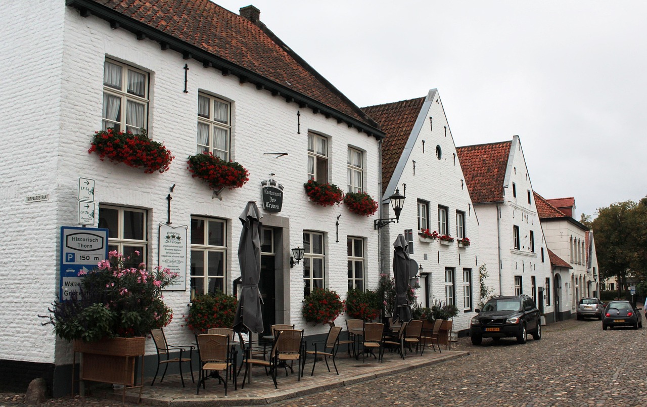
Marl caves, Meuse lakes and half-timbered hills – by camper through Dutch Limburg to Maastricht
 Photo by megan ✌🏼 on Unsplash
Cathedral, windmills and fen skies – by camper through Lincolnshire, the Wolds and Rutland to Stamford

 Photo by Nathan Hurst on Unsplash
Karri giants, granite coves and beach kangaroos – by campervan through Western Australia’s South West to Esperance
Road trips in the USA
Copy any guide into your planner and change it however you like.
© Bob Linsdell · CC BY 3.0Fall color: the Kancamagus to Acadia
Photo by Tim Mossholder on UnsplashOregon Coast on US-101

 © Lance Anderson lanceanderson · CC0
Giant baskets and infinity rooms: a Midwest oddities run

 Photo by Eddie Suh on Unsplash
Redwood Coast

 Photo by Brewing Cats on Unsplash
North Cascades Highway

 Photo by The AIRDEEz on Unsplash
The Blue Ridge Parkway, end to end
Road trips in Europe
Copy any guide into your planner and change it however you like.
Photo by Rob Menting on UnsplashTuscany and Lazio by motorhome
© BenAveling · CC BY-SA 4.0Sicily loop: temples, Etna and Baroque towns

 © Davide Papalini · CC BY-SA 3.0
Riviera di Ponente: Genoa to the French border

 Photo by Jean VIVIN on Unsplash
Lake Maggiore and Lake Orta

 © Fabio Ingrosso from Italy · CC BY 2.0
Bergamo, Lake Iseo and the Valcamonica rock art

 Photo by Jordi Vich Navarro on Unsplash
Sardinia’s Orientale Sarda
Road trips in Australia and New Zealand
Copy any guide into your planner and change it however you like.
© Avcer0 · CC BY-SA 4.0From the Bay of Islands to Cape Reinga and back
© Ivyluphotography · Pixabay Content LicenseThe Kauri Coast and Hokianga from Kaikohe to Matakohe

 © Originally uploaded by Kaiwhakahaere (Transferred by Gobonobo) · Public domain
Three days in the Bay of Islands: Waitangi to Kerikeri

 Photo by Abdul Hayee on Unsplash
Auckland and the wild Waitākere west coast beaches

 Photo by RE Walsh on Unsplash
Auckland to Whangārei by the north-east coast

 © David Schmitz · CC BY 2.0
The Coromandel Peninsula loop from Thames to Waihī
Plan it, find more, bring friends
Scout plans the trip for you
Answer five questions about dates, pace, vehicle and interests. Scout picks the stops, spaces them into days and finds somewhere to sleep each night.
See what’s along the route
Set how far you’re willing to detour and the map shows every waterfall, museum and odd monument inside that band.
Tolls, vignettes and city zones
See which countries you cross, where you need a vignette, and which stops sit inside a ZTL or low-emission zone.
Places worth the detour
The star icons on the map. Every one was chosen by an editor and is worth leaving the motorway for.

 © David Quigley · CC BY 4.0
Gemini Giant
A 30-foot fiberglass spaceman holding a rocket, one of the best-loved "muffler men" on the old highway.

 © David Broad · CC BY 3.0
Seven Mile Bridge
Almost seven miles of open water on the Overseas Highway. The old bridge alongside is partly open to walkers.
 © No machine-readable author provided. Miskatonic assumed (based on copyright claims). · CC BY 2.5
Fonts Point
A rim above the eroded Borrego Badlands, spectacular at sunrise and sunset. The four-mile access road is…

 © HAL333 · CC BY-SA 4.0
Crater of Diamonds State Park
A plowed field on an old volcanic pipe where anyone can dig for diamonds and keep what they find. Go after…

 Photo by Joylynn Goh on Unsplash
Glade Creek Grist Mill, Babcock State Park
A working reconstructed grist mill over a rocky creek, one of the most photographed spots in West Virginia,…

 © FrankBrueck · CC BY-SA 3.0
Muir Woods National Monument
Old-growth coast redwoods in a narrow canyon below Mount Tamalpais, with flat boardwalk loops. A parking or…

 © David Starner · CC BY-SA 4.0
Cedar Breaks National Monument
A 600 m deep amphitheater of orange hoodoos at over 3,000 m elevation, with rim viewpoints along Utah 148.…

 © Runner1928 · CC BY-SA 4.0
Sylvan Lake
A small reservoir framed by granite boulders at the north end of the Needles Highway in Custer State Park.…

 © Thomson200 · CC0
Grandfather Mountain
A nature park run by a nonprofit foundation, with the Mile High Swinging Bridge between two peaks, native…

 © ONUnicorn · CC BY-SA 4.0
Turkey Run State Park
Sandstone canyons cut by Sugar Creek, reached on trails with ladders and creek crossings through…

 © Luis Parra Rubio · CC BY-SA 4.0
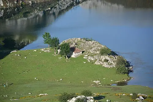
Lagos de Covadonga
Two glacial lakes in the Picos de Europa. Private cars are restricted in peak season, so take the bus.

 © Basotxerri · CC BY-SA 4.0
Cape Finisterre
The Romans’ end of the world and the last stop for many Camino pilgrims. Watch the sun set over the Atlantic.
Stories from the road

 Photo by Fabio Sasso on Unsplash
Christmas markets by motorhome 2026: 7 markets, overnight spots and tips for the Advent season

 Photo by simon on Unsplash
Winter camping: packing list and tips for warm nights in a tent, van or motorhome

 Photo by Hayffield L on Unsplash
Booking European campsites in high season: pitches, deposits and cancellations
Famous routes
Show all 201
Ready to hit the road?
Start with a destination, ask Scout, or take a ready-made route and make it yours.
Take the trip with you
Trips you plan here are ready on your phone. Stops, notes and day plans all come with you when you leave signal behind.
FAQs
What is CampingSpirit?
CampingSpirit is a web app for planning road trips and camping trips in the USA, Europe and Australia. It plans the route, suggests hand-picked stops along it, finds campsites and motorhome stopovers and estimates fuel costs; in Europe it also flags motorway tolls, vignettes and low-emission zones.
Is CampingSpirit free?
Yes. CampingSpirit is free to use at the moment: the trip planner, trip guides, hand-picked places and campsite search cost nothing.
Which countries does CampingSpirit cover?
The 48 contiguous US states and 32 European countries, with 1,393 trip guides and 3,890 hand-picked places.
Can I plan a motorhome or campervan trip with it?
Yes. Enter the height, length and weight of your vehicle and the planner checks them against limits on the route. It also shows 76,503 campsites and motorhome stopovers from OpenStreetMap.
In which languages is CampingSpirit available?
In English, German, Italian and French – the app, the trip guides and the place pages.
What is Scout?
Scout is the trip assistant in CampingSpirit. You answer five questions about dates, pace, vehicle and interests, and Scout picks the stops, spaces them into days and finds somewhere to sleep each night.
Where does the data come from?
Places and trip guides are written by our editors from official sources such as park, municipality, toll and ferry pages. Campsites and motorhome stopovers come from operators and OpenStreetMap and are not checked on site. Please confirm fees, opening dates and closures before you travel.
Do I need to reserve campsites in national parks?
In many popular parks, especially in the USA in summer, campgrounds and some entrances have to be booked weeks or months ahead, often through recreation.gov or the park’s own page. Rules change, so check the official park page before you go.
Can I use your data for my own project?
Yes. Datasets on campsites, routes and driving rules can be downloaded as CSV with source and licence on the open data page.