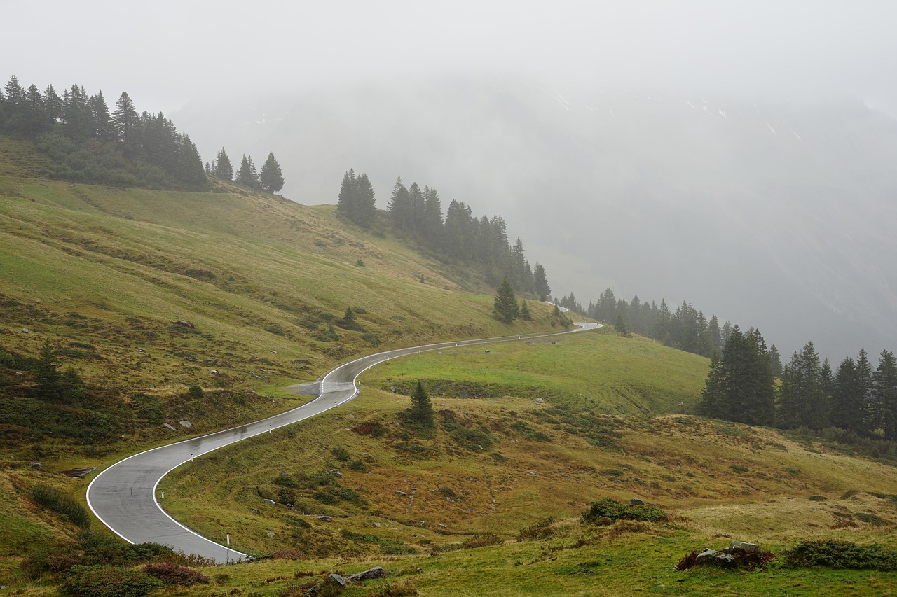
German Alpine Road
The German Alpine Road runs roughly 450 to 480 km from Lindau on Lake Constance to Lake Königssee. It links castles, lakes and mountain towns along the edge of the Alps.
- Region
- Bavaria, Germany
- Length
- about 450–480 km
- Suggested time
- 7–9 days, relaxed
- Best season
- May–September
- Start / end
- Lindau – Schönau am Königssee
What should you know before visiting German Alpine Road?
No motorway tolls or vignettes expected for a car.
- The route is winding and passes through Alpine foothills. Travel guides name May to September as the best time. In winter it is only drivable with suitable winter equipment, which is legally required.
- Wild camping outdoors is generally prohibited in Germany without permission, and Bavaria is considered strict. One night in the vehicle to restore fitness to drive is not permission to camp; chairs and awnings are off limits.
- Overnight stays are mostly at campsites or farm pitches. Füssen suits as a base for excursions, and a travel site calls Neuschwanstein Castle the most popular stop on the route.
The drive
The route starts in Lindau on Lake Constance and runs via Oberstaufen, Immenstadt and Sonthofen into the Allgäu. Neuschwanstein and Hohenschwangau lie near Füssen. It continues past Oberammergau to Ettal and Linderhof, to Garmisch-Partenkirchen at the foot of the Zugspitze (2,962 m), and via Bad Tölz to Tegernsee and Schliersee. The goal is Schönau on Königssee, where electric boats run on the lake.
Planning
The route is roughly 450 to 480 km long, depending on the source. Travel guides recommend at least five days, and seven to nine are more relaxed. May to September is considered the best time. Two short sections run through Austria and are reported to be toll-free. Restrictions for motorhomes such as height, weight or through-traffic bans are not mentioned in the sources used. On side roads, check height and width and follow current traffic reports.
Camping
Wild camping in open countryside is generally prohibited in Germany without permission of the owner or authority, and in Bavaria fines threaten in protected areas. According to legal guides, one night in a car park to restore fitness to drive is permitted if you do not camp. Along the route there are campsites, for example at the Forggensee, near Bad Tölz and in Lindau, as well as farm pitches. In holiday periods, ask ahead.
FAQs
How long is the German Alpine Road, and how much time do I need?
The route is roughly 450 to 480 km long, depending on the source. Travel guides name at least five days but recommend seven to nine to visit towns and lakes at a relaxed pace.
Can I drive the route in winter?
A travel site says the route is beautiful year-round but more demanding in winter, and suitable winter equipment is legally required. Check weather and road conditions, and opening times of campsites, beforehand.
May I wild camp along the Alpine Road?
Generally no. Camping in open countryside without permission is prohibited in Germany, and Bavaria is considered strict. One night in the vehicle to recover fitness to drive is different from camping. Campsites are safer.
Places to see
 © Philipp Münch · CC BY-SA 4.0
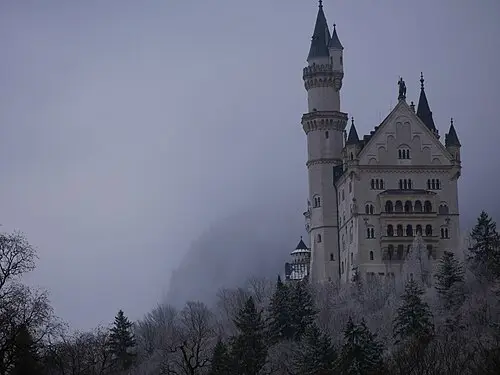
Schloss Neuschwanstein
King Ludwig II’s fairy-tale castle above the Alpine foothills. Buy timed tickets online.
 © Matt Sclarandis motornomad · CC0
Tre Cime di Lavaredo
Three limestone towers, the symbol of the Dolomites. A toll road climbs to the Auronzo hut, then an easy…
 © David Marcu davidmarcu · CC0
Passo dello Stelvio
At 2,757 m, the highest paved pass in Italy, with 48 numbered hairpins on the Trafoi side. Usually open…

 © José Luiz · CC BY-SA 4.0
Rothenburg ob der Tauber
A walled medieval town on the Romantic Road. Walk the covered ramparts.
 © No machine-readable author provided. Ampfinger assumed (based on copyright claims). · CC BY-SA 3.0
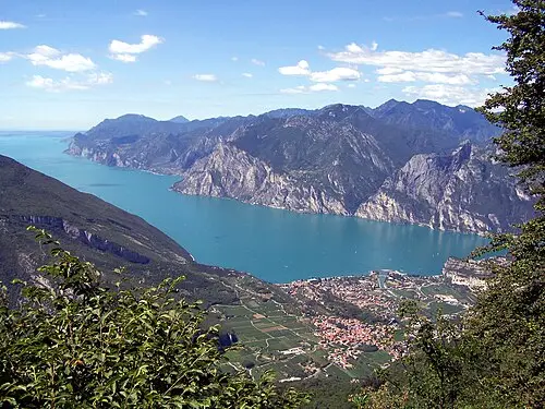
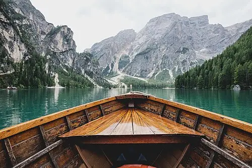
Lago di Braies
An emerald lake below sheer cliffs, with rowing boats and a flat path around the shore. Road access is…
 © Ximonic (Simo Räsänen) · CC BY-SA 4.0
Passo Giau
A 2,236 m pass with tight hairpins and a wall of peaks at the top. Come at sunrise.
 © Maurizio Napolitano · CC BY 4.0
Lago di Carezza
A small green lake below the Latemar spires, one of the most photographed in the Dolomites. A short path…
 © Z thomas · CC BY-SA 4.0
Passo Pordoi
A 2,239 m pass on the Sella ring road. A cable car lifts you to the Sass Pordoi terrace at almost 3,000 m.
Trip guides
 Photo by Roman Kraft on Unsplash
The Romantic Road: Würzburg to Füssen

 © Luca Bravo lucabravo · CC0
A loop through the Dolomites

 Photo by Harald Munter on Unsplash
Great Dolomite Road: Bolzano to Cortina
 Photo by Samuele Bertoli on Unsplash