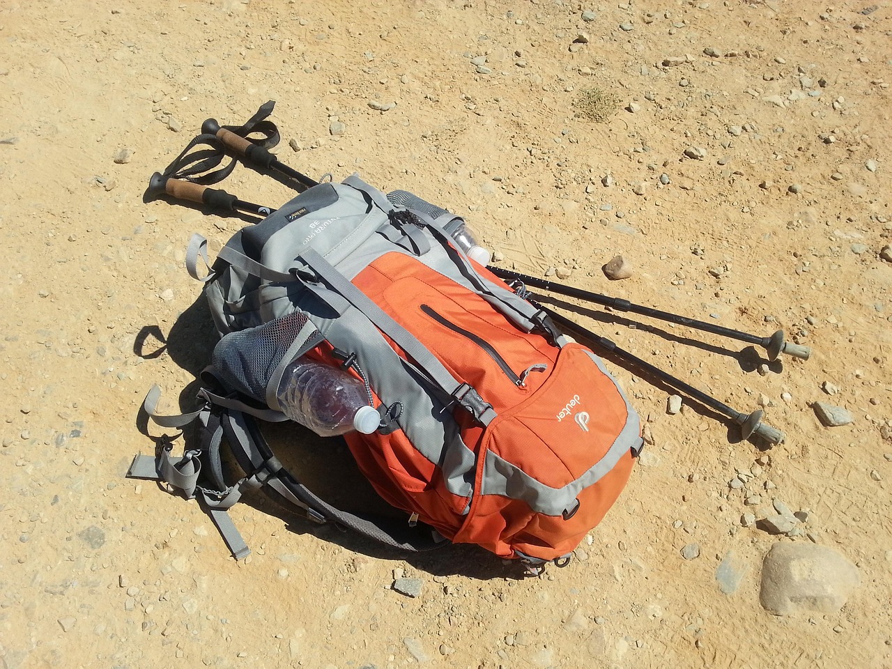
Camino de Santiago by Car
The Camino Francés is a pilgrim path of roughly 770 to 790 km, not a road. By car you follow nearby roads and visit its main towns from Pamplona to Santiago de Compostela, while leaving the path to walkers.
- Region
- Navarre to Galicia
- Length
- About 770–790 km on foot (sources differ)
- Start / end
- Saint-Jean-Pied-de-Port / Santiago de Compostela
- UNESCO
- Inscribed 1993
- Best season
- May–June, Sep–Oct; summer hot
What should you know before visiting Camino de Santiago by Car?
Tolls and vignettes for a car: about €8 (Spain).
- The route runs from Saint-Jean-Pied-de-Port over the Pyrenees to Roncesvalles, then through Navarre, La Rioja, Castile and León and Galicia. UNESCO inscribed it in 1993 as part of the Routes of Santiago de Compostela.
- Driving does not earn the Compostela. Walkers or riders on horseback must cover at least the last 100 km, cyclists 200 km. Sarria is a common starting point. The Pilgrim's Office in Santiago issues the certificate.
- In Spain, sleeping in a properly parked vehicle is not automatically illegal, but awnings and outdoor furniture count as camping. Municipalities can limit parking, so look for signs in town centres.
- Late spring and early autumn (May–June, September–October) are generally favoured for weather and crowds. Summer can be very hot, especially on the Meseta. Winter brings snow at altitude and limited services.
The drive
Start at Saint-Jean-Pied-de-Port and cross the Pyrenees to Roncesvalles; snow can block mountain sections in winter and early spring, so check weather and road status beforehand. Then follow nearby roads to Pamplona, Puente la Reina, Estella, Los Arcos, Logroño and Burgos. After Burgos comes the Meseta, a plateau of about 200 km, then León, Astorga and Rabanal del Camino. In Galicia, Sarria, Portomarín and Palas de Rei lead to Santiago de Compostela.
Planning
The path itself is for pilgrims on foot, by bike or on horseback and is not a driving route, so use public roads and park in marked areas. Plan overnight stops at campsites or municipal service areas and confirm them beforehand. Councils can limit or ban parking in places, so look for signs on arrival and keep awnings and outdoor furniture packed away.
FAQs
Can I drive the Camino de Santiago?
The path is meant for walkers, cyclists and riders. By car you follow nearby public roads and visit its towns. You will not qualify for the Compostela, which requires walking or riding the last 100 km.
How long is the Camino Francés?
Sources give about 770 to 790 km from Saint-Jean-Pied-de-Port to Santiago: a stage table counts about 769 km, a French guide 790 km. From Roncesvalles the table gives about 744 km. Figures differ by source and route variant.
Where can I park overnight with a motorhome?
Use campsites or municipal service areas where possible. Sleeping in a properly parked vehicle is generally not illegal in Spain, but outdoor awnings or furniture count as camping. Local bans and protected areas apply.
How much are the tolls on Camino de Santiago by Car?
Tolls and vignettes for a car: about €8 (Spain). Estimate with typical rates; motorhomes pay more, and vehicles over 3.5 t often pay by distance.
Places to see
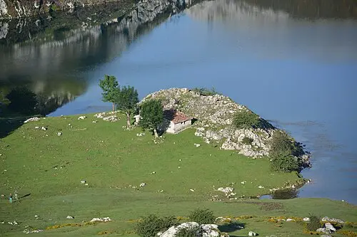 © Luis Parra Rubio · CC BY-SA 4.0
Lagos de Covadonga
Two glacial lakes in the Picos de Europa. Private cars are restricted in peak season, so take the bus.
 © Basotxerri · CC BY-SA 4.0
Cape Finisterre
The Romans’ end of the world and the last stop for many Camino pilgrims. Watch the sun set over the Atlantic.
 © David Corral Gadea · CC BY-SA 3.0 es
Segovia aqueduct
A Roman aqueduct of granite blocks held without mortar, 28 m high where it crosses the old town.
 © Kellekai · CC BY-SA 4.0
Ordesa valley
A glacial canyon with beech woods and waterfalls. The walk to the Cola de Caballo falls takes a full day.
 © Jules Verne Times Two · CC BY-SA 4.0
Museo Guggenheim
A titanium-clad museum on the river, with a giant flower-covered puppy by the entrance.
 © Luis Fermín TURIEL PEREDO · CC BY-SA 4.0
Santillana del Mar
A medieval village of stone houses and balconies. The Altamira cave museum is two kilometres away.
 © McBodes · CC BY 3.0
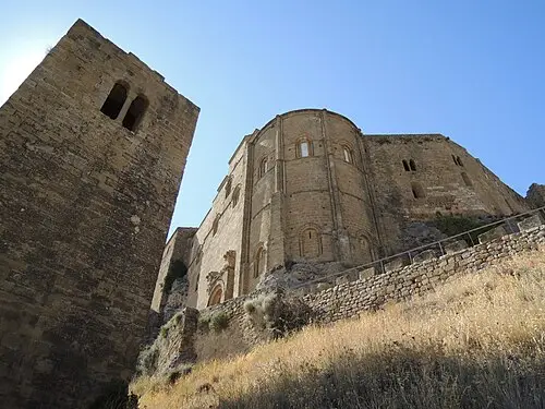
Loarre Castle
One of Europe’s best-preserved Romanesque castles, on a rocky spur above the Ebro plain.
Campsites nearby
Trip guides
 Photo by Hayffield L on Unsplash
Green Spain: Basque Country to Asturias
 © Basotxerri · CC BY-SA 4.0
Galicia: Santiago to the Rías Baixas
 Photo by Marco De Hevia on Unsplash
Old Castile: aqueducts and city walls
 © José Antonio Gil Martínez from Vigo, Spain · CC BY 2.0