

Ozark Scenic Byways (Pig Trail)
The Pig Trail is Arkansas Highway 23 through the Ozark National Forest in the Boston Mountains. It is winding and popular with motorcyclists.
- State
- Arkansas
- Road
- Arkansas Highway 23
- Length
- About 17–19 miles (sources differ)
- Best season
- Spring to autumn
What should you know before visiting Ozark Scenic Byways (Pig Trail)?
No toll roads expected for a car.
- The road winds through forested mountains and is also popular with motorcyclists. In a motorhome drive slowly and expect oncoming traffic.
- The sources name no length, height or weight limits. With large vehicles, ask the Arkansas Department of Transportation before driving.
- Spring wildflowers and autumn foliage are the popular times. Expect more traffic in those seasons and check campground availability.
- Campgrounds on or near the route: Turner Bend, White Rock Mountain, Shores Lake and Redding in the Ozark National Forest. Clarify reservations and site sizes with the Forest Service.
The drive
Highway 23 runs through Franklin County from the south boundary of the Ozark National Forest to its junction with Highway 16 at Brashears in Madison County. It crosses the Mulberry River and the 165-mile Ozark Highlands Trail. Ozark lies near the south end and Fayetteville to the northwest; Eureka Springs, a short distance away, has shops and lodging. Redding campground, by the river, has trailheads to the Ozark Highlands Trail.
Nearby byways
The Ozark Highlands Scenic Byway (Highway 21) is 35 miles long and runs from Clarksville at Highway 64 to the Buffalo National River. It also crosses the Ozark Highlands Trail and is described as a good foliage drive. The Mount Magazine Byway (Highway 309) climbs from Havana to Mount Magazine at 2,753 feet, then descends to Paris. Check road conditions beforehand.
FAQs
How long is the Pig Trail?
Figures differ: the Arkansas tourism site gives 19 miles (about 31 km) on one page and 17 miles (about 27 km) on another; the Encyclopedia of Arkansas also gives 19. The drive itself is short; time goes into stops at the Mulberry River and viewpoints.
When is the best time to drive the Pig Trail?
The tourism page names spring, summer and fall. Spring wildflowers and autumn foliage are especially popular. It gives no closure period; check current road conditions with the Arkansas Department of Transportation.
Where can I stay overnight in a motorhome?
The tourism page lists cabins and campsites at Turner Bend plus campgrounds at White Rock Mountain, Shores Lake and Redding in the Ozark National Forest. Ask the Forest Service about vehicle size and reservations. No rule on wild camping was found.
Places to see

 © Stefan Krasowski · CC BY 2.0
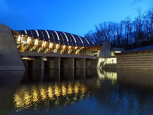
Crystal Bridges Museum of American Art
A museum of American art from colonial portraits to today, built over a spring-fed creek in a wooded ravine…
 © Marcus O. Bst · CC BY-SA 2.0
Petit Jean State Park
Arkansas’s first state park, with the 29 m Cedar Falls in a canyon below a CCC stone lodge. The Cedar Falls…
 © Fredlyfish4 · CC BY-SA 3.0
Mount Magazine State Park
The highest point in Arkansas (839 m), with a short trail to Signal Hill, hang-gliding cliffs and wide…
 © Ansgar Walk · CC BY-SA 2.5
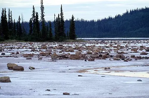
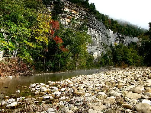
Buffalo National River
America’s first national river, with bluffs, canoeing and elk at Boxley Valley.
 © Ser Amantio di Nicolao · CC BY-SA 4.0
Wilson’s Creek National Battlefield
The first major Civil War battle west of the Mississippi was fought here in 1861. An 8 km tour road with…

 © Keith Snyder · CC BY-SA 4.0
Roaring River State Park
A deep blue spring pours from a cave-like cliff pool into a stocked trout stream in a steep Ozark hollow.…

 Photo by Wally Holden on Unsplash
Thorncrown Chapel
A glass and timber chapel in the woods designed by E. Fay Jones in 1980, often ranked among the best…

 © Ser Amantio di Nicolao · CC BY-SA 4.0
Pea Ridge National Military Park
A 1862 Civil War battle that kept Missouri in the Union, toured on an 11 km one-way road with overlooks and…
Campsites nearby
Trip guides
 © OakleyOriginals · CC BY 2.0
Arkansas Ozarks
 Photo by Wally Holden on Unsplash
Ozark loop: Branson, Eureka Springs and Crystal Bridges
 © Eric Hunt · CC BY-SA 4.0
Arkansas River Valley: Petit Jean, Mount Nebo and Mount Magazine
 © Fredlyfish4 · CC BY-SA 3.0