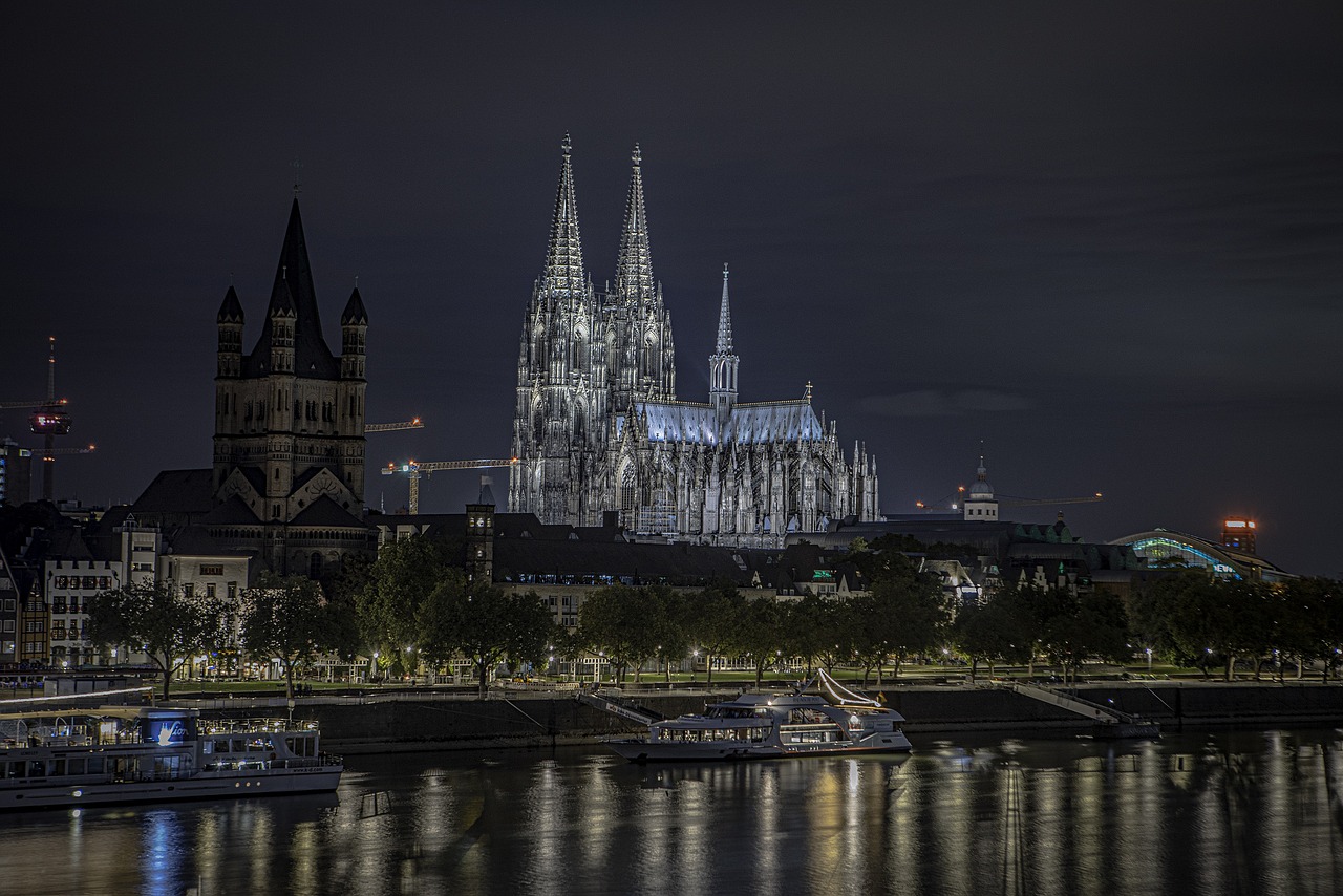
Great River Road
The Great River Road follows the Mississippi through ten states, from Lake Itasca in Minnesota to Venice in Louisiana. It is a network of state and local roads, not a single highway.
- States
- 10
- Length
- About 2,100–3,000 miles (3,300–4,800 km)
- Start / end
- Lake Itasca, Minnesota – Venice, Louisiana
- Road
- Network of state and local roads
- Best season
- Spring to autumn
What should you know before visiting Great River Road?
Tolls and vignettes for a car: about $7 (IL $4, OK $3).
- Follow the green and white pilot wheel signs, which carry the state name. The route follows different roads in each state, so use the state-by-state route pages of the visitor site.
- Sources give different total lengths, from about 2,100 to 3,000 miles. Plan by state sections, not as one trip.
- Each state has its own commission and its own roads, so camping rules and campground booking differ by state. Check the state park system and the local rules for each stretch.
The drive
The Great River Road runs along both banks of the Mississippi River in ten states: Minnesota, Wisconsin, Iowa, Illinois, Missouri, Kentucky, Tennessee, Arkansas, Mississippi and Louisiana. It starts at Lake Itasca, the source of the river, and ends in Venice, Louisiana, near the Gulf of Mexico. The route was planned as a scenic road made up of existing roads, after a 1951 feasibility study by the National Park Service and the Bureau of Public Roads. Many sections carry National Scenic Byway or All-American Road status.
Planning
The Mississippi River Parkway Commission coordinates the route, and each state has its own commission. The first signs went up in the late 1950s, and the pilot wheel logo is still the guide. Because it is a patchwork of ordinary roads, vehicle limits, tolls and road work are those of each state and county. Check each state department of transportation for current conditions before you go. Plan the trip in sections of a few days.
FAQs
How long is the Great River Road?
Sources differ: Wikipedia gives about 2,069 miles in its infobox and 2,340 miles in its text, while a visitor site says 3,000 miles. The route has no single fixed length, so plan by state section.
Which states does the route cross?
Ten: Minnesota, Wisconsin, Iowa, Illinois, Missouri, Kentucky, Tennessee, Arkansas, Mississippi and Louisiana. It runs from Lake Itasca in Minnesota to Venice in Louisiana.
How do I follow the route?
Look for the green and white pilot wheel signs with the state name. The route follows different roads in each state, so use the state-by-state route pages of the visitor site alongside a map.
How much are the tolls on Great River Road?
Tolls and vignettes for a car: about $7 (IL $4, OK $3). Estimate with typical rates; motorhomes pay more, and vehicles over 3.5 t often pay by distance.
Places to see
 © David Quigley · CC BY 4.0
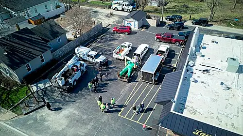
Gemini Giant
A 30-foot fiberglass spaceman holding a rocket, one of the best-loved "muffler men" on the old highway.
 © G. Edward Johnson · CC BY 4.0
Blue Whale of Catoosa
A grinning concrete whale built in the early 1970s as an anniversary gift. It sits in a spring-fed pond…

 Photo by Aswathy N on Unsplash
House on the Rock
A house built on a rock chimney, with an Infinity Room over the valley and the world's largest indoor…

 © Jonathunder · Public domain
Effigy Mounds National Monument
Over 200 ancient mounds, some shaped like bears and birds, on wooded bluffs above the Mississippi. The Fire…

 © Chris Lawrence from Blacksburg, VA, USA · CC BY-SA 2.0
Route 66 Begin Sign
The brown sign on Adams Street marks mile zero of the Mother Road. Grab the photo, then point the car…
 © artistmac · CC BY-SA 2.0
Old Chain of Rocks Bridge
A mile-long former Route 66 bridge over the Mississippi with a 22-degree bend in the middle. Now open to…

 © Paul Sableman from St. Louis, MO · CC BY 2.0
Ted Drewes Frozen Custard
A walk-up custard stand on Chippewa Street since 1941. Order a "concrete", thick enough to serve upside down.

 © nelcathy · Pixabay Content License
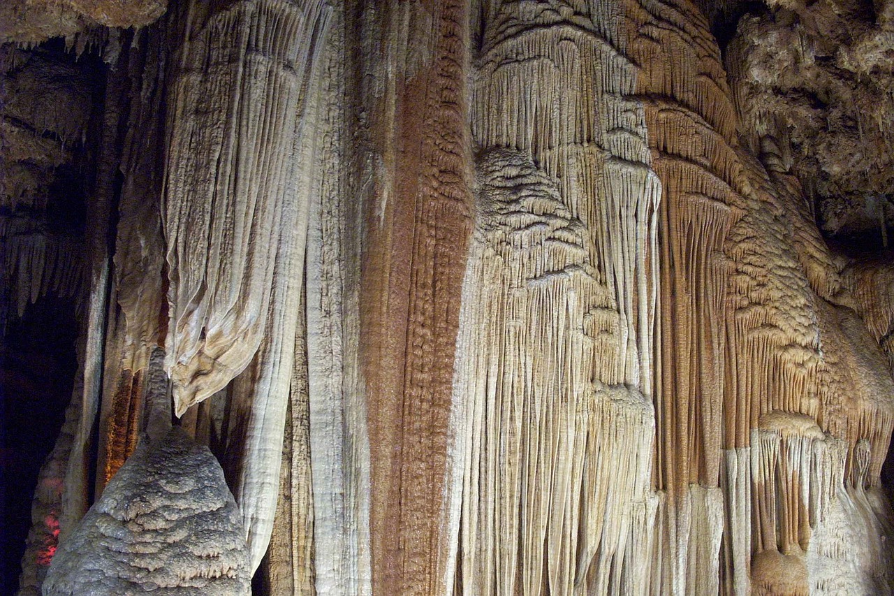
Meramec Caverns
Guided tours through multi-level limestone caves, advertised on barn roofs up and down the old highway for…
Trip guides

 Photo by Mick Haupt on Unsplash
Route 66, part one: Chicago to Oklahoma City

 © Lance Anderson lanceanderson · CC0
Giant baskets and infinity rooms: a Midwest oddities run
 Photo by shalender kumar on Unsplash
Great River Road: the upper Mississippi

 Photo by Niko Vassios on Unsplash