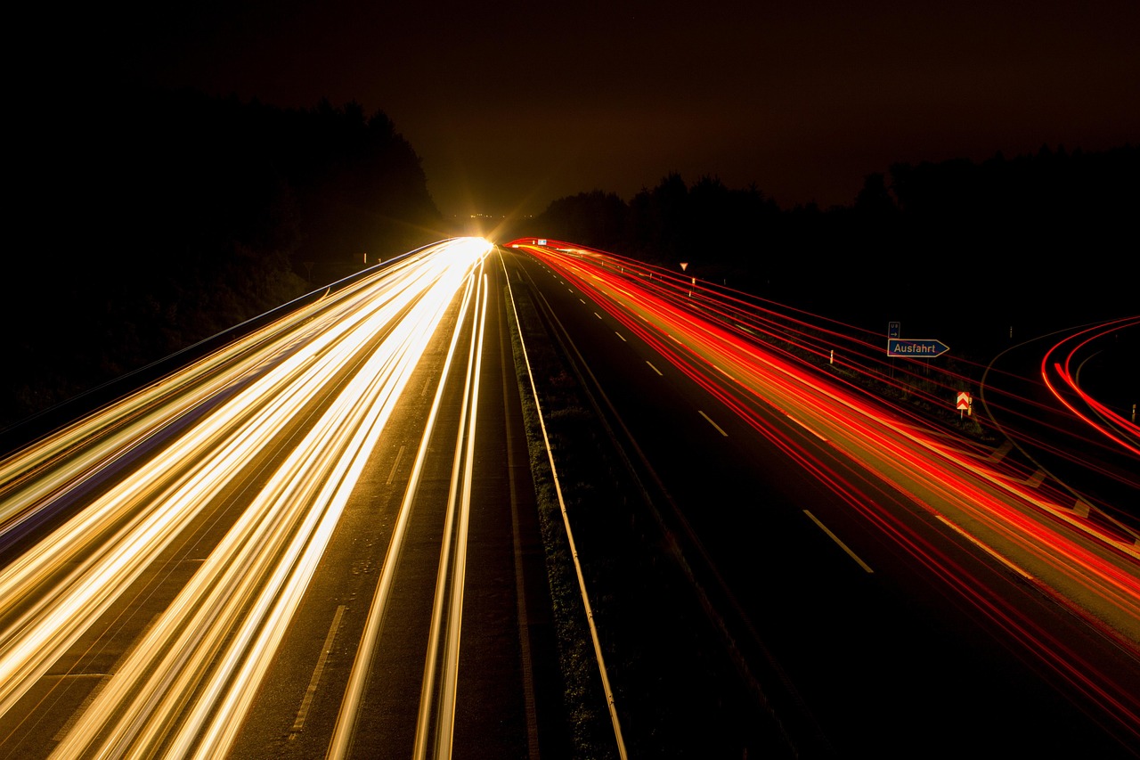
Kancamagus Highway
The Kancamagus Highway (NH 112) crosses the White Mountains between Lincoln and Conway. It stays open in winter, and six National Forest campgrounds lie along it.
- State
- New Hampshire
- Length
- About 32 miles (51 km)
- Start / end
- Lincoln – Conway
- Top elevation
- 2,855 ft (870 m)
- Best season
- Late spring to autumn
What should you know before visiting Kancamagus Highway?
Tolls and vignettes for a car: about $2 (NH $1, ME $1).
- A local guide reports no gas stations or shops on the highway, and cell reception fades a few miles in. Fill the tank and bring food before you start.
- The road stays open all winter but can close briefly while crews clear heavy snow. Bear Notch Road, the link to Bartlett, is closed all winter.
- A local guide says camping and fires are not allowed within a quarter mile of the roadside. Use the six National Forest campgrounds and check current rules with the White Mountain National Forest.
- A local guide says parking areas and trailheads along the road require a recreation pass. Check the current rules and where to buy it with the White Mountain National Forest.
The drive
The Kancamagus Highway is the eastern part of New Hampshire Route 112. It starts just east of the town centre of Lincoln and ends on Main Street in Conway. The road is about 32 miles long, and 26.5 miles of it are a designated National Scenic Byway. The high point, Kancamagus Pass, lies at 2,855 feet. The road runs through the White Mountain National Forest. Fuel up and shop in Lincoln or Conway first, and drive carefully in snow.
Camping
Six National Forest campgrounds line the route: Covered Bridge, Blackberry Crossing, Jigger Johnson, Passaconaway, Big Rock and Hancock. A local guide says camping and fires are not allowed within a quarter mile of the roadside, and the Forest Service bans camping within a quarter mile of certain roads, so do not plan on camping next to the road. Opening times, booking rules and fees are set by the White Mountain National Forest and change, so check its official page before you go. The ranger station at the Conway end has restrooms and an information kiosk.
FAQs
Is the Kancamagus Highway open in winter?
Yes, it stays open all winter. Short closures happen while crews clear heavy snow. Bear Notch Road to Bartlett is closed all winter. Check current road conditions before driving.
Is there fuel on the Kancamagus Highway?
A local guide reports no gas stations or convenience stores along the road, and cell service fades a few miles in. Fuel up in Lincoln or Conway and carry food and water.
Can I camp along the Kancamagus Highway?
Six National Forest campgrounds lie along the road. A local guide says camping and fires are not allowed within a quarter mile of the roadside. Ask the White Mountain National Forest about other overnight options.
How much are the tolls on Kancamagus Highway?
Tolls and vignettes for a car: about $2 (NH $1, ME $1). Estimate with typical rates; motorhomes pay more, and vehicles over 3.5 t often pay by distance.
Places to see

 © Asaf R asafyrov · CC0
Cadillac Mountain
The tallest peak on the North Atlantic coast, and often among the first places in the US to see sunrise.…
 © Tony Hisgett from Birmingham, UK · CC BY 2.0
Mount Washington Auto Road
A 7.6-mile toll road climbing to the 6,288-foot summit, where severe weather can arrive even in summer.…

 © Robert Linsdell from St. Andrews, Canada · CC BY 2.0
Flume Gorge
A narrow granite chasm about 800 feet long with walls up to 90 feet high, walked on boardwalks along a…
 © Eddie891 · CC BY-SA 4.0
Whiteface Veterans Memorial Highway
A toll road climbing to a stone castle just below the summit of Whiteface Mountain, with an elevator or a…
 © Bob Linsdell · CC BY 3.0
Sabbaday Falls – Kancamagus Highway
A short walk to a waterfall in a gorge on the 34-mile "Kanc". It is one of the best fall-color drives in…
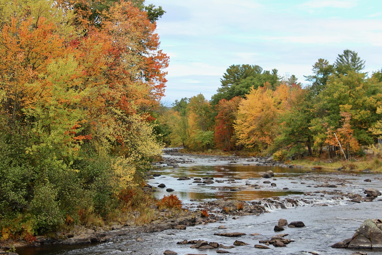 © rustygage · Pixabay Content License
Glen Ellis Falls
A 64-foot waterfall on the Ellis River in Pinkham Notch, a short walk with steps from a lot on NH-16.…

 © Robert Linsdell from St. Andrews, Canada · CC BY 2.0
Arethusa Falls
One of New Hampshire’s tallest waterfalls, about 140 feet, reached by a 1.5-mile trail from US-302 in…

 © NPS Photo · Public domain
Minute Man National Historical Park, Battle Road
The road where colonial militia fought British troops on 19 April 1775, now a 5-mile trail between…
Trip guides
 © Bob Linsdell · CC BY 3.0
Fall color: the Kancamagus to Acadia
 © rustygage · Pixabay Content License
White Mountain notches: Mount Washington to Franconia
 © NPS Photo · Public domain