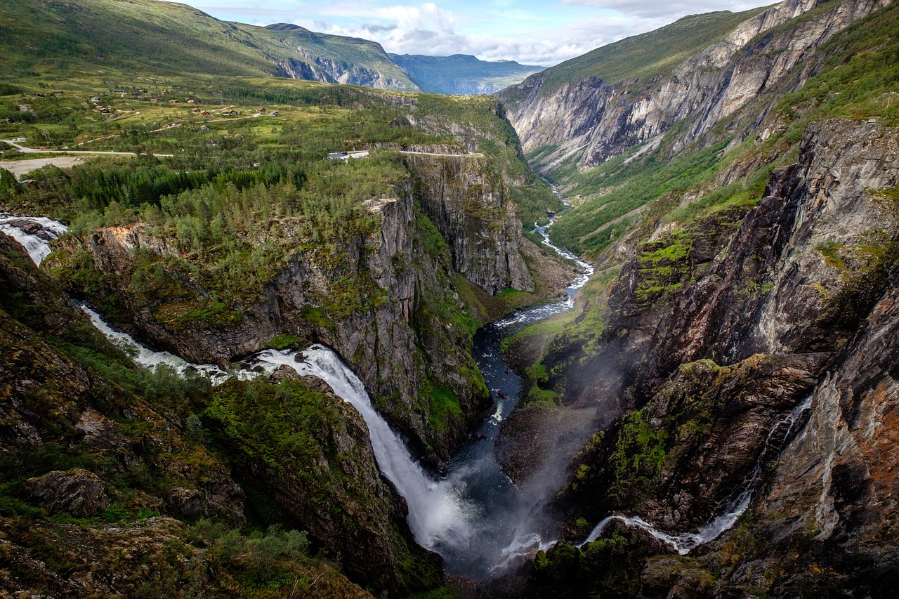
Hardanger Fjord Route
The Norwegian Scenic Route Hardanger follows the fjord for about 160 km, with waterfalls, fruit farms and ferry crossings. Narrow roads call for time and care.
- Region
- Hardanger, western Norway
- Length
- 158–165 km (sources differ)
- Start / end
- Granvin to Låtefoss (can be reversed)
- Best season
- Spring to autumn (April to October)
- Open
- Some sections closed in winter
What should you know before visiting Hardanger Fjord Route?
Tolls and vignettes for a car: about €4 (Norway).
- The route has four sections: Granvin to Steinsdalsfossen (roads 79/49), Norheimsund to Tørvikbygd (49), Jondal to Utne (550) and Kinsarvik to Låtefoss (13).
- Ferries run between Tørvikbygd and Jondal, Kvanndal and Utne, and Utne and Kinsarvik. Kinsarvik to Utne takes about 30 minutes. Check timetables and vehicle rules beforehand.
- The roads are narrow and winding. For motorhomes, or drivers who dislike narrow roads, Visit Norway suggests the eastern road between Utne and Odda. Parking at Låtefossen is limited and summer traffic is heavy.
- Wild camping: the regional tourism site allows tents at least 150 m from the nearest house or cabin for up to two nights in one spot. The right to roam does not cover motorhomes; use campsites or designated parking.
The drive
Visit Norway suggests Odda as the start: Låtefossen, then Lofthus and Kinsarvik, the ferry to Utne, on to Jondal and by ferry to Tørvikbygd, then Steinsdalsfossen and Norheimsund and finally Granvin. From there Skjervsfossen, the Hardanger Bridge and Eidfjord with Vøringsfossen can be added. The route can also be driven in reverse. There are tunnels between Kinsarvik and Odda.
Planning
Visit Norway names April to October as a good period and advises against winter driving without experience. Parts of road 13 (Skjervsvegen) are closed in winter, as are parts of the Steinsdalsfossen site. The waterfall carries the most water in May or June. If you rely on ferries, allow time for waiting. Check current road conditions with the Norwegian Public Roads Administration (Statens vegvesen).
Camping
The regional tourism site for Hardanger says the right to roam allows wild camping on uncultivated land at least 150 m from the nearest house or cabin, for no more than two nights in the same spot. It does not apply to motorhomes or campervans, which must use designated parking areas or campsites. Open fires are prohibited in or near forests and grasslands from 15 April to 15 September. Many campsites have waste disposal stations. Check signs and ask the municipality or the campsite.
FAQs
Is the route suitable for motorhomes?
Visit Norway describes narrow, winding roads and suggests the eastern road between Utne and Odda for motorhomes and drivers who avoid narrow roads. The page gives no vehicle limits.
Which ferries belong to the route?
Tørvikbygd–Jondal, Kvanndal–Utne and Utne–Kinsarvik. The Kinsarvik–Utne crossing takes about 30 minutes. Check timetables with the operator beforehand and allow for waiting.
When is the best time to go?
Visit Norway names April to October; Steinsdalsfossen carries the most water in May or June. In winter some sections are closed, such as parts of road 13 to Skjervsfossen.
May I stay overnight freely in a motorhome?
No. The regional tourism site says the right to roam does not apply to motorhomes or campervans, which must use designated parking areas or campsites. Tents are allowed from 150 m away from the nearest house for up to two nights.
How much are the tolls on Hardanger Fjord Route?
Tolls and vignettes for a car: about €4 (Norway). Estimate with typical rates; motorhomes pay more, and vehicles over 3.5 t often pay by distance.
Places to see

 © Erik den yngre · CC BY-SA 4.0
Vøringsfossen
A 182 m waterfall seen from viewing platforms and a staircase bridge above the gorge.

 © rheins · CC BY 3.0
Stegastein viewpoint
A wood and steel platform jutting out 650 m above the Aurlandsfjord on the Aurlandsfjellet scenic route.…

 © Bjørn Erik Pedersen · CC BY-SA 4.0
Borgund Stave Church
The best-preserved of Norway’s medieval stave churches, built around 1200 with dragon heads on its roof…

 © Jules Verne Times Two · CC BY-SA 4.0
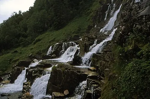
Steinsdalsfossen
A waterfall you can walk behind, a few minutes from the fjord road.

 © Rüdiger Stehn from Kiel, Deutschland · CC BY-SA 2.0
Tvindefossen
A broad waterfall dropping about 150 m over a stepped rock wall right beside the E16 north of Voss.…

 © Maarten Heerlien from Voorschoten, The Netherlands · CC BY 2.0
Preikestolen
A flat rock platform 604 m above the Lysefjord, about four hours there and back on foot.
Campsites nearby
Trip guides

 Photo by Christina R. Stryger on Unsplash
Hardangerfjord and its waterfalls
 © Rüdiger Stehn from Kiel, Deutschland · CC BY-SA 2.0
Sognefjord: Nærøyfjord, Stegastein and Borgund
 © Erik den yngre · CC BY-SA 4.0