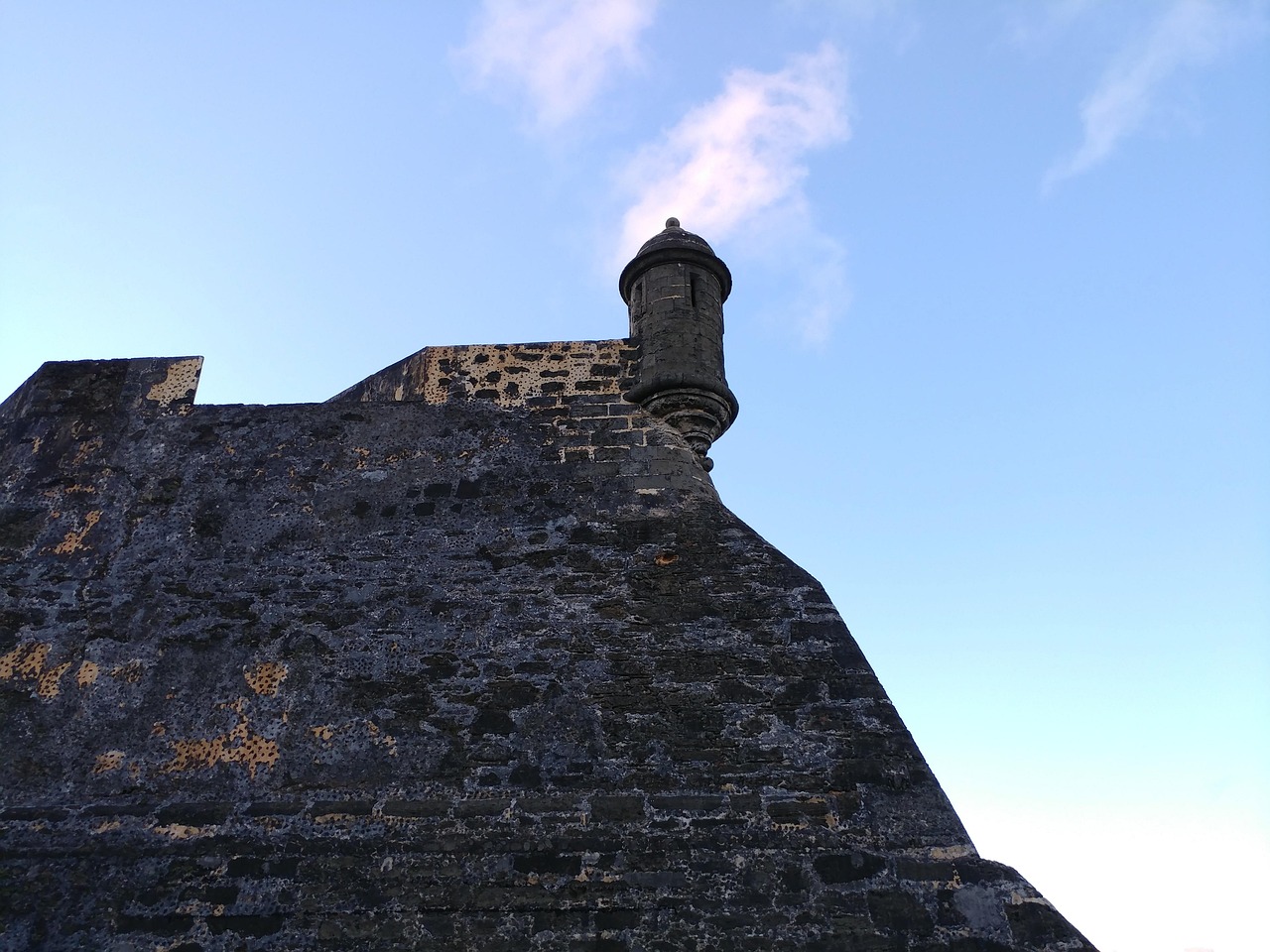
San Juan Skyway
This All-American Road in southwest Colorado is a 236-mile loop from Durango. Several passes above 10,000 feet and the Million Dollar Highway call for experience and time.
- State
- Colorado
- Length
- 236 miles, loop
- Start / end
- Durango (loop)
- Top elevation
- Red Mountain Pass, 11,018–11,075 ft
- Best season
- Summer and early fall; check winter conditions
What should you know before visiting San Juan Skyway?
No toll roads expected for a car.
- The Ouray to Silverton stretch is known as the Million Dollar Highway. It has sharp curves, narrow lanes and exposed sections, plus an avalanche zone, Riverside Slide, where the road runs under a snow shed.
- The road crosses Lizard Head, Molas, Coal Bank and Red Mountain passes, all above 10,000 feet. Snow can fall on the high passes while lower areas stay dry; check forecasts and CDOT road conditions.
- In San Juan National Forest, dispersed camping is generally allowed for up to 16 days in one spot, away from water. Other forests on the loop, such as the Uncompahgre, set their own rules; check with the Forest Service.
The drive
The loop runs from Durango through Mancos, Cortez, Dolores and Rico to Ridgway, Ouray and Silverton and back. A spur leaves near Ophir for Telluride. South of Ouray the road runs through the Uncompahgre Gorge. CDOT puts the drive at about 6 hours, other sources at about 7, so with stops you need more.
Camping
In San Juan National Forest, dispersed camping is limited to 16 days in one place, at least 100 feet from water and within 150 feet of a road. It is generally not allowed near campgrounds, picnic areas and trailheads. Fire restrictions apply at times. Parts of the loop, for example near Ouray, may lie in other forests with their own rules; ask the Forest Service district office before you camp.
FAQs
How long is the San Juan Skyway?
The loop is 236 miles long and starts and ends in Durango. CDOT estimates about 6 hours of driving; with breaks the route usually takes at least a full day.
Where is the highest point?
Red Mountain Pass is the highest point, at about 11,000 feet (sources give 11,018 to 11,075). Lizard Head, Molas and Coal Bank passes also lie above 10,000 feet.
Can I drive it in winter?
Official guidance is mainly to check road conditions before you go. Avalanche zones such as Riverside Slide lie on the Ouray to Silverton stretch, so closures are possible. CDOT posts current reports.
Places to see
 © w_lemay · CC BY-SA 2.0
Mesa Verde National Park
Ancestral Puebloan cliff dwellings tucked under canyon overhangs. Ranger-led tours reach Cliff Palace.
 © Gfox228 · CC BY 3.0
Monument Valley
Sandstone buttes on Navajo Nation land, known from a century of Westerns. The valley drive is unpaved, and…
 Photo by Miguel Ángel Sanz on Unsplash
Grand Canyon National Park – South Rim
A mile deep and up to 18 miles across. The South Rim is open all year. Watch sunset from Hopi Point or…
 © MikeGoad · Pixabay Content License
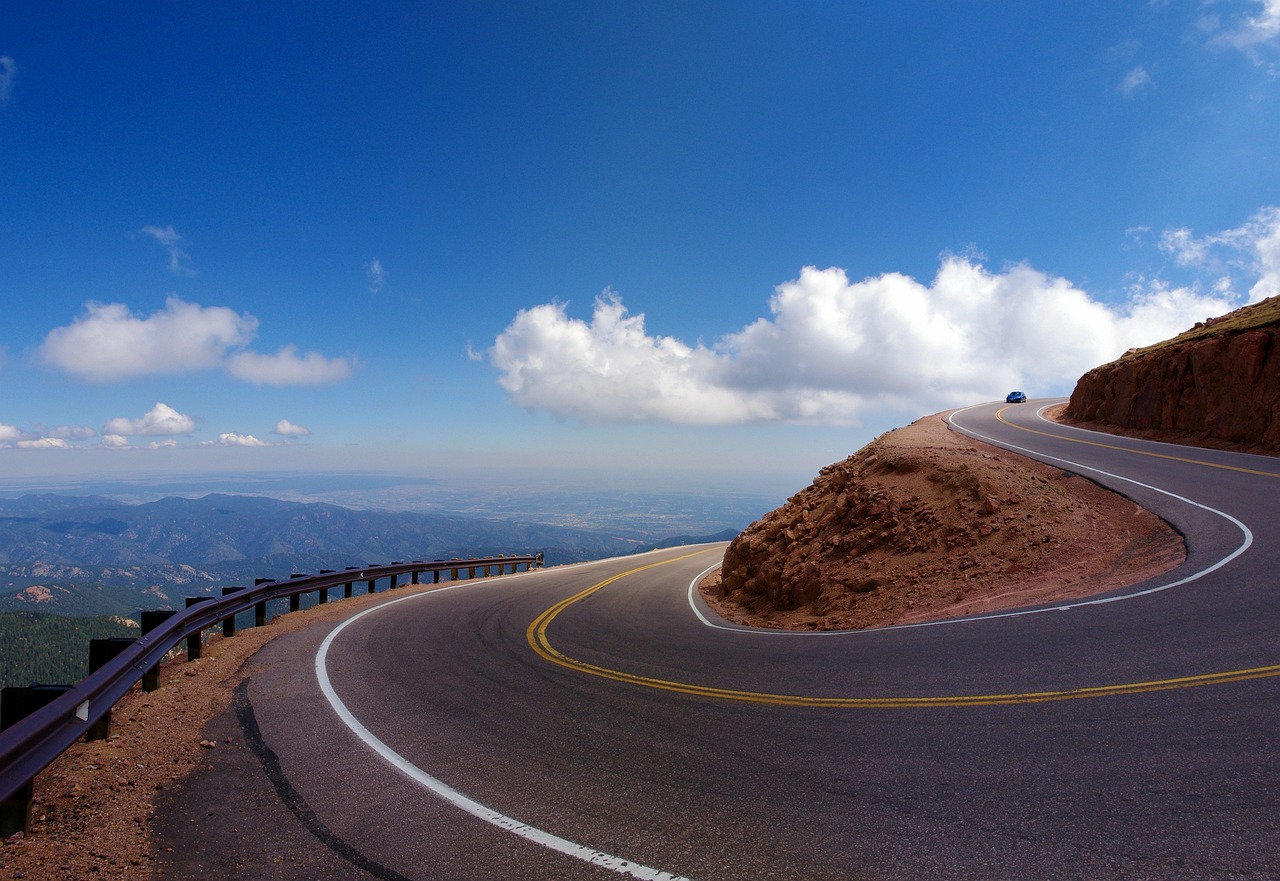
Million Dollar Highway
US-550 over Red Mountain Pass: sheer drops, no guardrails and old mines on the slopes.
 © MARELBU · CC BY 3.0
Chaco Culture National Historical Park
Great houses of the Ancestral Puebloan world, including Pueblo Bonito. The last 21 km of the approach from…
 © Cerahammond · CC BY-SA 4.0
Colorado National Monument
The 37 km Rim Rock Drive winds along red canyons and monoliths above the Grand Valley. Its three tunnels,…
 © Mx. Granger · CC0
Four Corners Monument
Stand in Arizona, Colorado, New Mexico and Utah at once. Navajo artisans sell crafts around the plaza.
 © Sharon Mollerus · CC BY 2.0
Antelope Canyon
Wavy slot canyons lit by shafts of sunlight. You can only visit with a Navajo-guided tour, so book ahead.
Trip guides
 © Ken Lund from Las Vegas, Nevada, USA · CC BY-SA 2.0
Canyons and cliff dwellings of the Four Corners
 Photo by Andrew Svk on Unsplash
San Juan Skyway
 © National Trails Office (US National Park Service) · Public domain
Chaco Canyon and the San Juan Basin
 Photo by Jeff Heaton on Unsplash