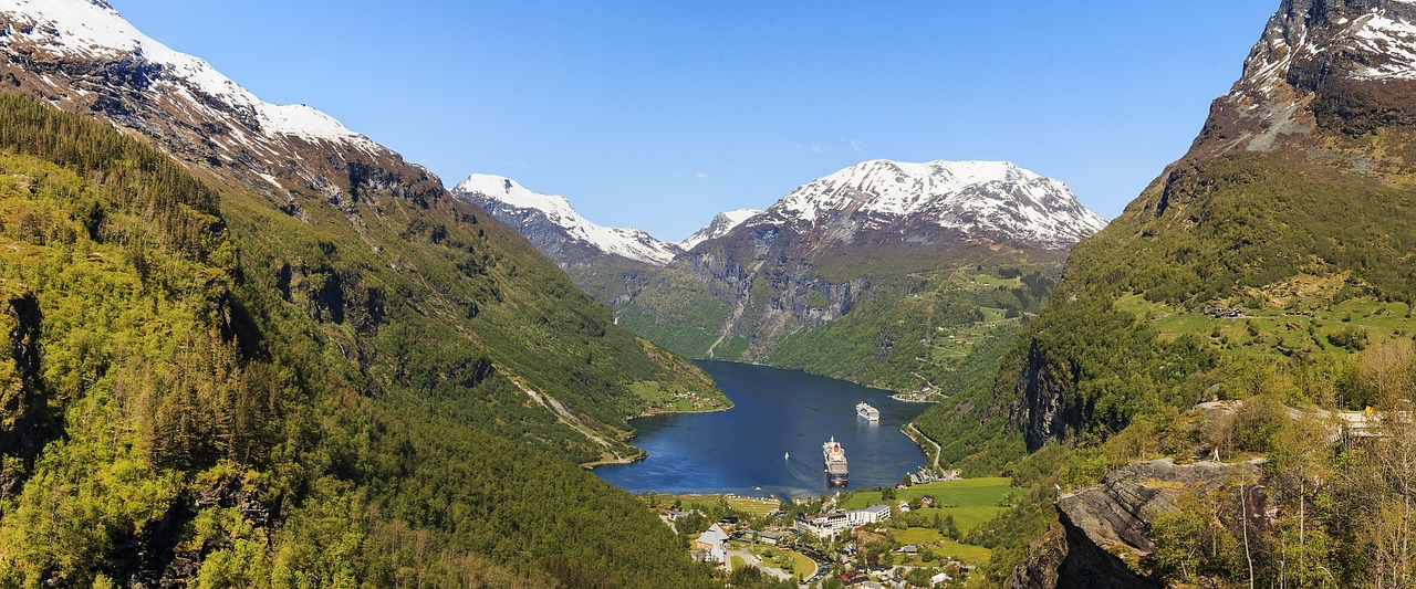
Sognefjellet, Geiranger and Trollstigen
Two Norwegian Scenic Routes in the fjord country: Sognefjellet from Lom to Gaupne, and Geiranger to Trollstigen with a ferry crossing. Both are narrow in places and partly close in winter.
- Region
- Western Norway
- Length
- 108 km + 104 km
- Top elevation
- 1,434 m
- Best season
- Summer, roads usually open late spring to fall
- Open
- Seasonal, check Statens vegvesen
What should you know before visiting Sognefjellet, Geiranger and Trollstigen?
Tolls and vignettes for a car: about €13 (Norway). Mountain passes: Trollstigen (852 m, usually open June–October). Size limits for motorhomes: Trollstigen (Norway) (length 12 m).
- Sognefjellet runs 108 km between Lom and Gaupne and tops out at 1,434 m. The mountain section closes in winter and may close at night or in bad weather after reopening.
- Geiranger–Trollstigen is 104 km and includes one ferry crossing between Eidsdal and Linge. The Trollstigen section is usually open from mid-May to October or November.
- Some scenic routes are narrow, and passing is only possible at designated places. Motorhomes and caravans should check Statens vegvesen for length rules, tunnels and real-time status.
- Outside campsites, keep at least 150 m from buildings, avoid passing places, and do not use picnic areas for overnight stays.
The drive
Sognefjellet climbs from Lom in Bøverdalen over the mountains to Gaupne near the Sognefjord, with stops at Oscarshaug, Mefjellet, Sognefjellshytta, Vegaskjelet and Liasanden. Geiranger–Trollstigen is a separate route: the Trollstigen road leads over a plateau to Gudbrandsjuvet, then by ferry from Eidsdal to Linge, past the Ørnesvingen viewpoint to Geiranger and the Flydalsjuvet viewpoint. Geiranger sits at sea level and the route peaks at about 1,038 m.
Planning
Past closures of Sognefjellet ran from mid-November to mid-December, with openings between mid-April and early May. Trollstigen has closed from early October to December and reopened between late April and June, and the Langvatnet–Geiranger section behaves similarly. Heavy rain can close the route at short notice. Check Statens vegvesen for status, ferry timetables and vehicle limits; the scenic route site mentions a 13.3 m limit for buses on the Trollstigen section, so motorhomes should confirm their own limits.
Camping
Norway's right to roam applies, but VisitNorway advises motorhomes to use campsites and dedicated pitches when possible. If you stay in the wild, keep at least 150 m from buildings, avoid private land and farmland, do not park in roadside passing pockets, and keep 4 m between vehicles or tents. Picnic areas are for short stops. Obey signs that forbid overnight stays, and take note of landslide and flood warnings in the fjord valleys.
FAQs
When is Trollstigen open?
VisitNorway says usually from mid-May to October or November. The route can close at short notice because of heavy rain, so check Statens vegvesen for real-time status before driving.
Is there a ferry on the Geiranger–Trollstigen route?
Yes, one crossing between Eidsdal and Linge. Timetables are on the ferry map of the Norwegian Public Roads Administration. Check them, since they change by season.
Can I wild camp in a motorhome in Norway?
The right to roam allows it within limits: at least 150 m from buildings, not on private land or farmland, not in passing pockets. VisitNorway still recommends campsites and motorhome pitches where available.
How much are the tolls on Sognefjellet, Geiranger and Trollstigen?
Tolls and vignettes for a car: about €13 (Norway). Estimate with typical rates; motorhomes pay more, and vehicles over 3.5 t often pay by distance.
Places to see

 © Rüdiger Stehn from Kiel, Deutschland · CC BY-SA 2.0
Trollstigen
Eleven hairpin bends up a sheer mountainside, with a viewing platform at the top. Usually open late May to…

 © Ernst Vikne · CC BY-SA 2.0
Atlanterhavsveien
About 8 km of road hopping across islets on eight bridges, most dramatic in stormy weather.

 Photo by Hendrikje Glauner on Unsplash
Gjende and Besseggen
The green glacial lake of Gjende and the start of the Besseggen ridge walk, Norway’s best-known day hike. A…

 © Ximonic (Simo Räsänen) · CC BY-SA 3.0
Sognefjellet
The highest mountain pass road in northern Europe, topping out at 1,434 m between glaciers and peaks of…

 © Bjørn Erik Pedersen · CC BY-SA 4.0
Urnes Stave Church
Norway’s oldest stave church, from the 12th century and on the UNESCO list, famous for its carved animal…

 © rheins · CC BY 3.0
Stegastein viewpoint
A wood and steel platform jutting out 650 m above the Aurlandsfjord on the Aurlandsfjellet scenic route.…

 © Bjørn Erik Pedersen · CC BY-SA 4.0
Borgund Stave Church
The best-preserved of Norway’s medieval stave churches, built around 1200 with dragon heads on its roof…

 © Aqwis · CC BY-SA 3.0
Briksdalsbreen
An arm of Jostedalsbreen at the head of Oldedalen, reached by a path of about 3 km each way past…
Campsites nearby
Trip guides
 Photo by Alicja Gancarz on Unsplash
Norway’s fjords: Bergen to the Atlantic Road

 Photo by Stock Birken on Unsplash
Jotunheimen: Valdresflye and Sognefjellet

 © Rüdiger Stehn from Kiel, Deutschland · CC BY-SA 2.0
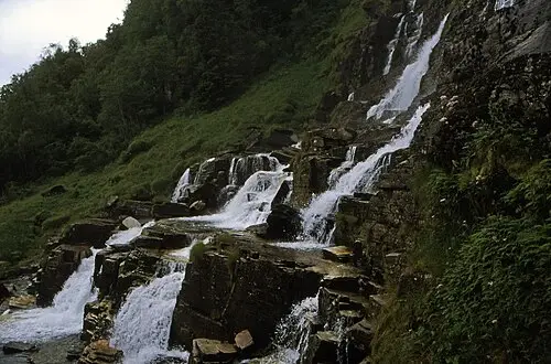
Sognefjord: Nærøyfjord, Stegastein and Borgund

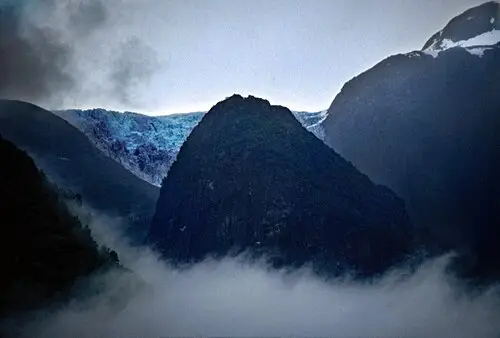 © Rüdiger Stehn from Kiel, Deutschland · CC BY-SA 2.0