


In-depth guide · CampingSpirit
From the cathedral in Lincoln across the gentle Lincolnshire Wolds, the marsh coast at Gibraltar Point and the Fens around Boston to Rutland Water and the stone town of Stamford: about 370 kilometres of left-hand driving across flat country with a great deal of sky.
The spirit of the route
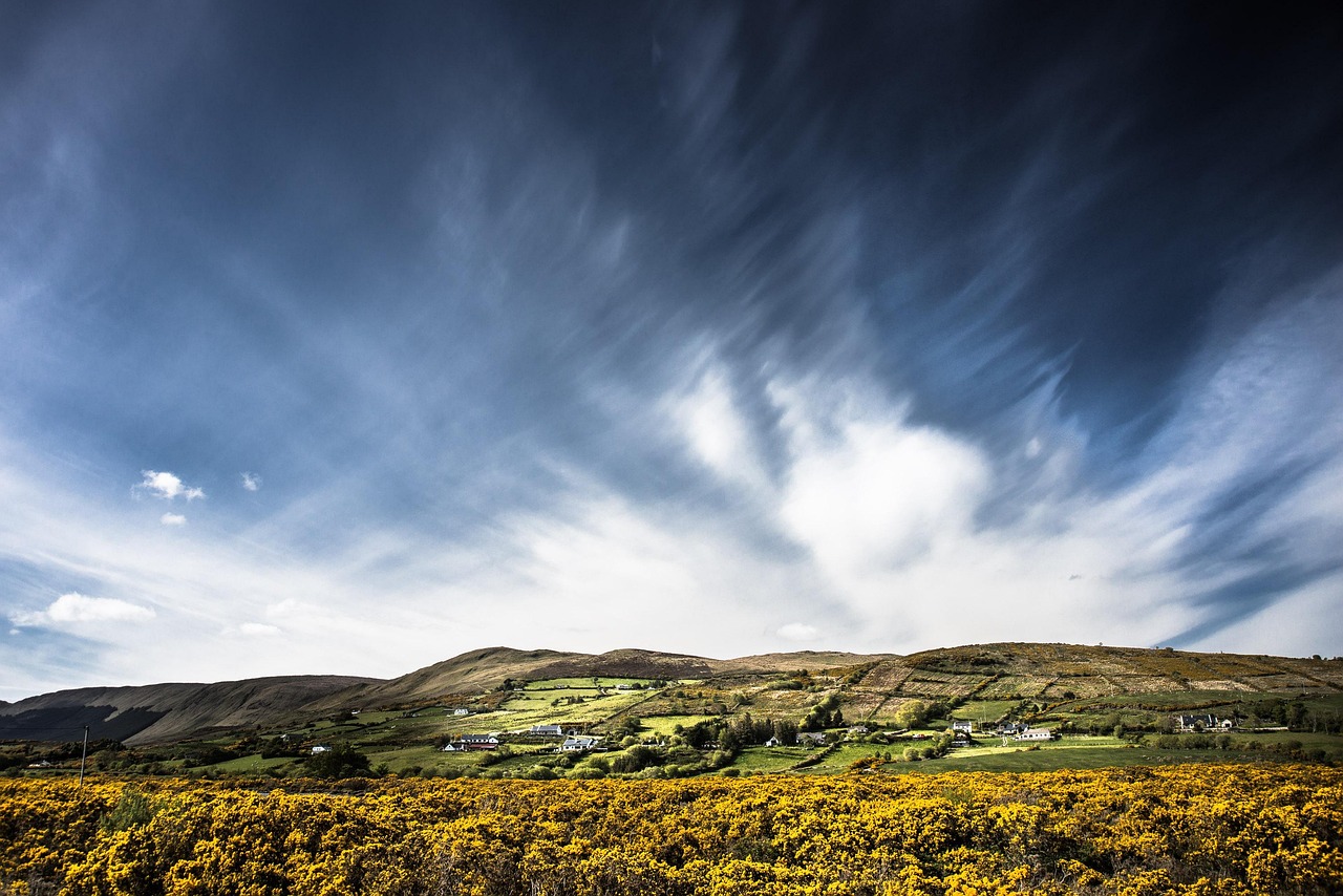
Lincolnshire doesn't put on a show, it takes its time. First there is that cathedral on its limestone ridge above Lincoln, and you can see it from miles away because nothing around it gets in the way. Beyond it roll the Wolds, low chalk hills with wheat fields, thatched villages and sunken lanes. Further east the land pushes out into the North Sea: salt marsh, sandbanks, windmills with white sails. In the Fens the roads run dead straight, the drainage channels sit higher than the fields, and on the horizon the tower of Boston's church rises like an exclamation mark. From the open sliding door you watch herons, skylarks and banks of cloud. At the end wait Rutland Water with its ospreys and Stamford, where honey-coloured stone glows. This route rewards anyone who drives slowly, gets up early and counts the wind across the Fens over a cup of tea in the camper.
Stage-by-stage plan
1Stage 1: Lincoln to Lincoln (Hartsholme) (approx. 12 km)
- The drive
- A day for the city with hardly any driving: from the campsite on the west side of Lincoln to the edge of town and back. The old town with its cathedral and castle sits up on the hill, while the new town lies below by the River Witham and Brayford Pool. The street “Steep Hill” is very steep and cobbled and is meant to be conquered on foot, not in a camper. Town-centre streets are narrow, and many lanes are one-way.
- Highlights & must-sees
- Lincoln Cathedral: the central tower rises a good 80 metres above the city. Inside, the Angel Choir with the Lincoln Imp and the Chapter House are worth your time.
- Lincoln Castle with its wall walk above the old town and one of the surviving copies of the Magna Carta of 1215.
- Steep Hill and Bailgate: timber-framed houses, small shops, tea rooms and a wide view over the plain below the old town.
- CampingSpirit overnight tip
-
Official campsite or RV park: Hartsholme Country Park Campsite, run by the City of Lincoln, at the edge of the park on Skellingthorpe Road (LN6 0EY): 32 touring pitches with electric hook-up and a chemical toilet disposal point on site; the season usually runs from March to October, so check opening times and book in advance on the council's website. As an alternative, the Camping and Caravanning Club runs a site called Decoy Farm near Lincoln; check its current status and suitability for motorhomes with the club. A motorhome service point with fresh water is not mentioned in the site description – ask in advance.
Free camping or nature tip (where legal): No legal wild camping is provided for in Lincoln: England has no right to roam, and overnighting in municipal car parks is not generally allowed. Stick to a campsite or a motorhome pitch.
- Insider tip for campers
- Leave the camper at the site and take the city bus or a bike to the cathedral. There are park-and-ride options on the edge of town, but whether motorhomes may park there needs to be checked beforehand. If you want to see the cathedral and castle in peace, go early in the morning; around midday the lanes on Steep Hill fill up.
2Stage 2: Lincoln (Hartsholme) to Walesby (approx. 45 km)
- The drive
- Out of Lincoln on the A46 north-east towards Market Rasen, then on minor roads into the western Wolds to Walesby. The A46 is well built; beyond Market Rasen it gets narrower: hedges at the roadside, tractors, single-track stretches with passing places. About an hour of pure driving time.
- Highlights & must-sees
- The Ramblers’ Church in Walesby (All Saints), the little walkers' church at the edge of the woods, a popular stop for hikers in the western Wolds.
- Walesby Hill: a view from the western edge of the Wolds across the Ancholme valley to the plain.
- Lincolnshire Wolds National Landscape: thatched villages, sunken lanes and chalk hills, with the highest point at around 170 metres.
- CampingSpirit overnight tip
-
Official campsite or RV park: Walesby Woodlands Caravan Park on the edge of Walesby, in the woods: according to the booking portal with electric pitches, sanitary facilities and a disposal point; dogs are allowed. Ask in advance whether motorhomes are accepted, and about the season and pitch length. Alternatively, there are more small sites around Market Rasen.
Free camping or nature tip (where legal): On the Wolds, parking at the field edge and overnighting on private land without permission are not allowed; most side roads are narrow, and farmers need access. Expect comments from local residents and possibly a fine from the police.
- Insider tip for campers
- Fill up and shop in Lincoln or Market Rasen: in the heart of the Wolds the villages lie far apart and shops are rare. The Viking Way runs from the Humber to Oakham – you can walk a stretch of it near Walesby and meet it again later at Rutland Water.
3Stage 3: Walesby to Louth (approx. 35 km)
- The drive
- Via Tealby (thatched roofs, a stream running through the village) and Donington on Bain through the central Wolds to Louth. Narrow country roads with crests and some steep climbs; the B1225, high up on the old Roman road High Street, offers wide views. About an hour.
- Highlights & must-sees
- Tealby: timber-framed houses with thatched roofs, a stream in the village and All Saints church, a quiet walk for the morning.
- Louth: St James’ church with a spire of around 90 metres, the tallest medieval parish church spire in England.
- Hubbard’s Hills on the River Lud at the edge of Louth: a wooded valley with meadows and picnic spots.
- CampingSpirit overnight tip
-
Official campsite or RV park: West End Farm Park near Reston, south-east of Louth: a rural farm site. Reston also has Waggon & Horses Camping & Caravanning Site. Both are about 15 minutes' drive from Louth; check by phone beforehand about opening, suitability for motorhomes, electric hook-up and access for long vehicles.
Free camping or nature tip (where legal): In Louth and the villages around it the usual parking rules apply: parking is allowed where it is not prohibited, but sleeping in your vehicle in municipal car parks is not permitted in many places. Check the status of each car park on the signs on site.
- Insider tip for campers
- Don't drive in the Wolds after dark in the evening: unlit sunken lanes, wildlife on the road, hardly any mobile signal. If you want to see seals, plan a detour from Louth to the Donna Nook nature reserve on the coast (about 30 km): grey seals give birth to their pups there in late autumn. Watching is only from the viewing area behind the fence, dogs are not allowed there, parking is charged, and on peak weekends there is traffic management. The site borders an air force bombing range, so heed the warning flags. Check the current rules beforehand with the Lincolnshire Wildlife Trust.
4Stage 4: Louth to Addlethorpe (Skegness) (approx. 45 km)
- The drive
- Along the A157 to Alford on the edge of the Wolds, then across flat coastal land to Ingoldmells and Addlethorpe. The land suddenly goes flat: straight roads, drainage ditches, wide fields. In high summer and on public holidays traffic backs up around Skegness. A good hour.
- Highlights & must-sees
- Alford: the Manor House, a large thatched manor house, and the five-sailed windmill with white sails.
- Burgh le Marsh: Dobson’s Mill, a windmill that still grinds flour.
- Skegness: a broad sandy beach, pier and seaside bustle – an hour's stroll, then back to the stillness of the marsh.
- CampingSpirit overnight tip
-
Official campsite or RV park: Bridge Farm in Addlethorpe, a smaller site and quieter than the big holiday parks on the coast; check suitability for motorhomes, electric hook-up, sanitary facilities and season beforehand. Around Skegness there are many holiday parks; many of them take only long-term guests or static caravans, so ask specifically about touring pitches.
Free camping or nature tip (where legal): East Lindsey District Council designates car parks for motorhomes (for example Richmond Drive in Skegness, Seacroft Road in Mablethorpe); whether overnight parking is allowed there could not be confirmed. Sleeping and camping in a vehicle on council land is not generally allowed. Follow the signs on site.
- Insider tip for campers
- Skegness is full from May to September; book pitches early. There are hardly any supply and disposal facilities at municipal car parks; plan to dispose of waste at the campsite. The tourist office names an Elsan point for Thrunscoe Land in Cleethorpes (parking there for up to 48 hours), well north of the route.
5Stage 5: Addlethorpe to Boston via Gibraltar Point (approx. 60 km)
- The drive
- First south to Gibraltar Point at the end of the coast, then back via Wainfleet and the A52 through the marshes to Boston. Straight, flat roads; in wind you feel every gust in the body of the van. A good 1.5 hours.
- Highlights & must-sees
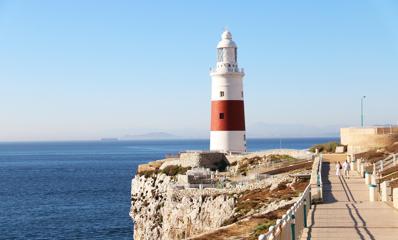
- Gibraltar Point: a Lincolnshire Wildlife Trust nature reserve with dunes, salt marsh and a visitor centre, a resting place for migrating birds on the coast.
- Wainfleet All Saints: a brick church and the brick building of Magdalen College School from the 15th century.
- Boston Stump (St Botolph’s): the tower, around 83 metres high, can be seen far across the Fens; you can climb it during the church's opening hours.
- CampingSpirit overnight tip
-
Official campsite or RV park: Meadowvale Park near Boston, a rural site; check suitability for motorhomes, electric hook-up, sanitary facilities and season beforehand. More small sites lie around Boston on farms. The choice for motorhomes is thinner than on the coast.
Free camping or nature tip (where legal): The car parks at Gibraltar Point are charged; according to the operator the reserve itself is always accessible, but permission to overnight in a vehicle could not be confirmed. Don't count on it and ask the Lincolnshire Wildlife Trust beforehand. In Boston there are car parks, but no legal sleeping in a vehicle on municipal land.
- Insider tip for campers
- At Gibraltar Point there are salt marshes and sandbanks that the tide covers: check the tides before you go onto the beach. Visit Boston Stump early in the day if you can; a detour to Maud Foster Mill, said to be the tallest working windmill in Britain, is worth it.
6Stage 6: Boston to Rutland Water (Lyndon) (approx. 100 km)
- The drive
- Through the Fens to Spalding, on to Crowland, then via Bourne westwards onto the A1, at Stamford onto the A606 and to the south shore of Rutland Water at Lyndon. Dead-straight roads alongside drainage ditches, sometimes without a verge, with subsidence and undulations in the tarmac; fast traffic on the A1 and the A16. About 2.5 hours.
- Highlights & must-sees
- Crowland: the medieval three-armed Trinity Bridge in the middle of the village, beside it the abbey, whose ruins partly still serve as the parish church.
- Spalding: the River Welland, Ayscoughfee Hall with its gardens, a quiet stop for a coffee and to stretch your legs.
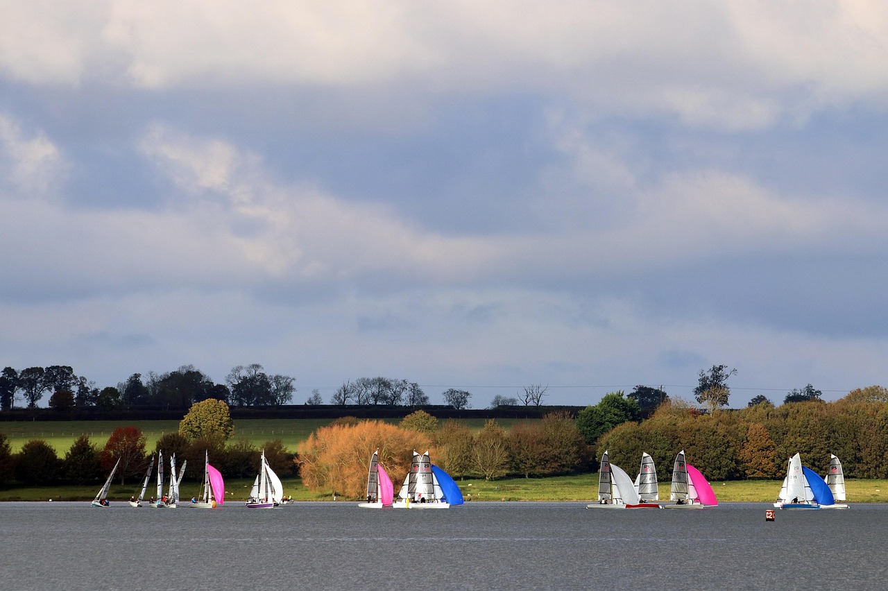
- Arrival at Rutland Water: a wide expanse of water of a good 12 km², an osprey project and bird reserve.
- CampingSpirit overnight tip
-
Official campsite or RV park: Lyndon Top on the south shore of Rutland Water; check suitability for motorhomes, season, electric hook-up and sanitary facilities beforehand. More sites lie around Oakham.
Free camping or nature tip (where legal): Rutland Water is a popular day-trip area; the Anglian Water car parks are charged and have barriers which, according to the operator, also admit motorhomes. Overnighting there is expressly not allowed, and vehicles still parked there after closing time are locked in. Use campsites.
- Insider tip for campers
- Plan this longest day with a break in Spalding or Crowland, and fill up before the drive to Rutland in Spalding or Bourne. On the fen roads keep plenty of distance from the roadside: soft ground and steep ditches are no fun when oncoming traffic arrives.
7Stage 7: Rutland Water to Stamford (approx. 50 km)
- The drive
- A loop by the water: from Lyndon via Oakham and the Hambleton peninsula to Normanton Church on the south shore and to the dam at Empingham, then on the A606 to Stamford. The lakeside roads are narrow and winding, and the dam offers a view. About 1.5 hours with stops; in places cycle routes share the road.
- Highlights & must-sees
- Normanton Church, the church on a spit of land jutting into the water, one of the best-known photo spots on the lake.
- Rutland Water Nature Reserve at Egleton: bird hides, waterfowl and the ospreys, which have been breeding here again since 2001 after a reintroduction from 1996.
- Oakham Castle: the 12th-century hall displays horseshoes that nobles visiting here were required to leave behind.
- CampingSpirit overnight tip
-
Official campsite or RV park: Camping near Stamford: Sacrewell Farm at Thornhaugh near Wansford, east of Stamford; according to the site's website open from March to October, with electric pitches and grass pitches also for motorhomes and hot water at the fields. Alternatively Wing Hall Camping & Caravan Site in Wing, south of Oakham; check suitability for motorhomes and season beforehand.
Free camping or nature tip (where legal): Stamford has narrow old-town lanes; designated wild camping for motorhomes could not be verified, and sleeping in a vehicle in municipal car parks is not generally allowed. Plan on the campsite and book it firmly.
- Insider tip for campers
- Rutland Water can be circled on a cycle and footpath of around 35 kilometres, including the peninsula; hiring a bike at the peninsula is worthwhile. At the lake the car parks with barriers are charged during the day and closed in the evening. In Stamford watch for height restrictions at entrances and the rules of the municipal car parks.
8Stage 8: Stamford to Burghley House and back (approx. 25 km)
- The drive
- A short loop around the Georgian old town of Stamford and to nearby Burghley House with its park. Streets in town are narrow, otherwise hardly any gradient. With a visit, a full day.
- Highlights & must-sees
- Stamford: limestone houses, narrow lanes and the churches of the old town, designated England's first Conservation Area in 1967.
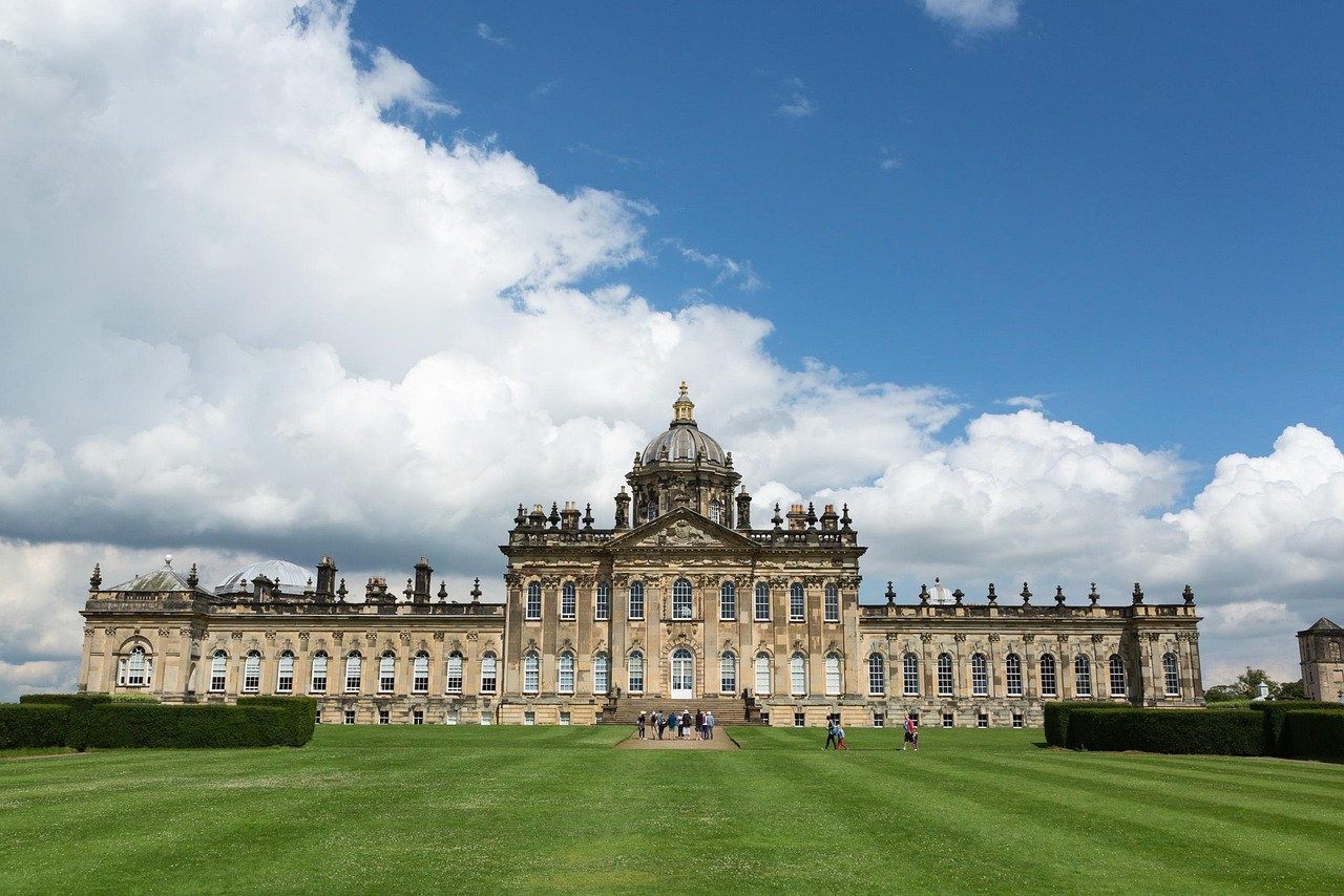
- Burghley House: an Elizabethan mansion built by William Cecil, surrounded by a park designed by Capability Brown.
- Stamford Meadows on the River Welland: a walk through meadows with a view of the old town.
- CampingSpirit overnight tip
-
Official campsite or RV park: A second night at the same site (Sacrewell Farm near Wansford) or at sites around Stamford, with electric hook-up and sanitary facilities; check beforehand. Don't expect a pitch on the Burghley estate itself.
Free camping or nature tip (where legal): On the Burghley estate and in Stamford the operators' parking rules apply. Overnighting in a vehicle is not provided for; plan firmly and sleep on campsites.
- Insider tip for campers
- Plan Burghley early in the day: check the visitor car parks for motorhomes and the opening hours beforehand on the house's website. Stamford lies on the A1: if you are driving on, you can easily reach the north and south.
Camping practice & local rules
Wild camping & overnight parking
- England has no right to roam: without the landowner's consent, overnighting in a vehicle outside campsites and motorhome pitches is not allowed. Parking is possible where it is not prohibited, but camping behaviour (chairs, awning, levelling legs, grey water) is taboo everywhere.
- In Lincolnshire there are many municipal car parks along the coast; East Lindsey District Council designates some for motorhomes but does not confirm overnighting everywhere. Signs, time limits and height restrictions apply, especially in Skegness and Mablethorpe.
- Gibraltar Point and the coastal marshes are nature reserves: keep to the paths, keep dogs on a lead, and respect the breeding season and the tides. At Rutland Water overnighting in the car parks is not allowed, according to the operator; follow the rules for car parks and lakeside paths.
- You can legally overnight on campsites, on sites run by the Camping and Caravanning Club and the Caravan and Motorhome Club (usually open to non-members too), on small Certificated Locations (often members only) and at pubs with permission. Useful apps and directories: park4night, Campercontact, the clubs' site finders.
Waste disposal & supplies
- Public disposal points are rare in Lincolnshire; plan to fill and empty at campsites (“Elsan point” for the chemical toilet, “waste water point” for grey water). Emptying cassettes in public toilets is usually prohibited.
- Tap water is drinkable; you fill up with water at campsites, public taps are the exception.
- Gas: Calor bottles are only exchanged for British bottles, German bottles are not exchanged; Campingaz bottles are widely available and can usually be exchanged. Arrive with full bottles or use refillable bottles with a suitable adapter; autogas (LPG) is available only at a few filling stations, so research locations beforehand.
- Gas bottles on the ferry: close the valves before boarding, follow the shipping company's requirements and do not run the fridge on gas during the crossing. Electricity on British sites comes via the blue CEE plug; a long cable and a polarity tester are sensible.
Vehicle size & traffic rules
- Entry: Great Britain is not in the EU. EU citizens need an electronic travel authorisation (ETA), to be applied for only via the official GOV.UK site or app; it has cost 20 GBP per person since April 2026 and is valid for two years or until the passport expires. You also need your passport, vehicle registration document and proof of insurance; ask your insurer whether a Green Card is needed. Meat and dairy products from the EU may not be brought in for personal use.
- Dog: microchip, valid rabies vaccination and an EU pet passport, which is recognised in Great Britain; in addition a vet must treat the dog for tapeworm 24 to 120 hours before arrival and record it in the passport. The ferry and shipping company check the papers at check-in.
- Getting there and ferry: you reach eastern England via Dover and the A1/M25 axis or via ferries to Harwich or Hull. Vehicles registered as motorhomes are booked by length and height; bike racks and roof fittings count. Incorrectly stated dimensions can cost surcharges or refusal. The Humber Bridge is tolled if you use it.
- Driving on the left: roundabouts clockwise, traffic already on the roundabout has priority; mask or adjust your headlights. On single-track country roads stop at passing places or field entrances; whoever is nearer the passing place gives way. Speed limits: motorhomes up to 3,050 kg unladen weight 60 mph on single carriageways, 70 mph on dual carriageways and motorways; heavier motorhomes 50 mph on single carriageways, 60 mph on dual carriageways, 70 mph on motorways; vehicles towing 50 mph on single carriageways, 60 mph on dual carriageways and motorways. In built-up areas usually 30 mph, in some village centres 20 mph.
- Tolls and zones: on this route there is neither a motorway toll nor a low-emission zone. If you arrive via Dover, you cross the Dartford Crossing east of London, whose charge is to be paid online; bypass London itself and its ULEZ. Dimensions: motorhomes up to 12 m long and 2.55 m wide (from 3 m height a warning sign in the cab is compulsory). Drink-drive limit in England is 0.8 per mille (80 mg per 100 ml of blood), holding a phone while driving is forbidden; winter tyres are not required.
CampingSpirit packing & preparation checklist
- Binoculars with good light-gathering: Gibraltar Point and the nature reserves at Rutland Water reward birdwatchers, and the ospreys are tiny to the naked eye.
- A tide table or app for the coast: the salt marshes at Gibraltar Point are under water at high tide, the beaches are wide and the way back is long.
- Extra guy ropes and wind protection for the awning: in the Fens and on the coast it often blows hard, and there is hardly any shelter.
- Headlight deflector film and an extra mirror for driving on the left: on Wolds roads with hedges and oncoming traffic, a clear view to the rear left helps.
- A British CEE adapter (blue), a long extension cable and a polarity tester: on farm and club sites the electric post is often far from the pitch.
As of 2026-10. Closures, fees and booking rules change: check official sources before you go.