Skip to content

Where to go in the summer holidays

506 routes that our season estimate rates as best for this time of year, in Europe, North America and Oceania.

Wondering where to go on summer vacation by RV or camper? Summer is high season almost everywhere: long days, warm water and every campground open. It’s also the busiest and, in the south, the hottest time of year. The Mediterranean coasts are crowded, so many travelers head north to Scandinavia, Scotland or the Baltic states, or up into the Alps, where the high passes are open and the air stays fresh.

The routes below are the ones our season estimate rates as good in July and August, based on long-term climate averages, terrain and pass seasons. Our tip: book campgrounds and ferries early, especially for coasts, islands and Scandinavia. If you travel spontaneously, avoid the busiest weekends, start driving early in the morning and look for smaller campgrounds inland, a little away from the hotspots.

How we work: data and estimates

USA · 95 routes

The newest 24 are shown here; all routes are in the trip guide catalogue.
Fall color: the Kancamagus to Acadia – Sabbaday Falls Trail, Kancamagus Hwy, Waterville Valley - panoramio (1)© Bob Linsdell · CC BY 3.0
112
Things to do in…

Fall color: the Kancamagus to Acadia

336 mi6 stops4 days
Oregon Coast on US-101 – reflection of a mountain on beach shore during daytimePhoto by Tim Mossholder on Unsplash
101
Coast & island drives

Oregon Coast on US-101

350 mi9 stops5 days
North Cascades Highway – body of water and mountainPhoto by Brewing Cats on Unsplash
20
Scenic byways

North Cascades Highway

246 mi4 stops3 days
Rainier and St. Helens volcano loop – Mount Rainier with snow-covered peaks under a soft pink and blue skyPhoto by Caleb Riston on Unsplash
706
National park loops

Rainier and St. Helens volcano loop

208 mi5 stops4 days
Going-to-the-Sun Road, west to east – a scenic view of a mountain range with trees in the foregroundPhoto by Michael Kirsh on Unsplash
GTTS
National park loops

Going-to-the-Sun Road, west to east

51 mi3 stops2 days
Volcanic Legacy Byway: Mount Shasta to Crater Lake – Mt. Shasta (8815257539)© Prayitno / Thank you for (9 millions +) views from Los Angeles, USA · CC BY 2.0
89
Scenic byways

Volcanic Legacy Byway: Mount Shasta to Crater Lake

239 mi8 stops4 days
Highway 1 south: San Francisco to Santa Cruz and Monterey – Pigeon Point Light Station Fresnel Lens© Jeedew · CC BY-SA 3.0
1
Coast & island drives

Highway 1 south: San Francisco to Santa Cruz and Monterey

113 mi7 stops2 days
Sonoma and Mendocino coast on Highway 1 – Muir Woods National Monument 2010 16© FrankBrueck · CC BY-SA 3.0
1
Coast & island drives

Sonoma and Mendocino coast on Highway 1

174 mi9 stops3 days
Southern Oregon coast: Cape Arago to the Boardman corridor – Shore Acres reflection (5821288026)© Sandy Horvath-Dori from Grand Junction, CO, USA · CC BY 2.0
101
Coast & island drives

Southern Oregon coast: Cape Arago to the Boardman corridor

121 mi9 stops3 days
Maine’s Route 1 – white lighthouse near body of waterPhoto by Mercedes Mehling on Unsplash
1
Coast & island drives

Maine’s Route 1

172 mi6 stops4 days
Rogue-Umpqua Scenic Byway via Crater Lake – a lake surrounded by trees and a dockPhoto by Philip Calderone on Unsplash
138
Scenic byways

Rogue-Umpqua Scenic Byway via Crater Lake

170 mi9 stops3 days
Mount Rainier’s east side: Sunrise and Chinook Pass – Sunrise Visitor Center (Yakima Park Stockade Group), Mount Rainier National Park, Ashford, WA - 53797660637© w_lemay · CC BY-SA 2.0
410
National park loops

Mount Rainier’s east side: Sunrise and Chinook Pass

74 mi7 stops2 days
Olympic Peninsula loop: ridges, rain forest and wild beaches – Viola flettii 4740© Walter Siegmund (talk) · CC BY-SA 3.0
101
National park loops

Olympic Peninsula loop: ridges, rain forest and wild beaches

197 mi9 stops4 days
Chuckanut Drive and the Mount Baker Highway – Larrabee State Park, gate© Steven Pavlov · CC BY-SA 4.0
542
Scenic byways

Chuckanut Drive and the Mount Baker Highway

92 mi7 stops2 days
Grand Teton loop: Mormon Row, Signal Mountain and Jenny Lake – green trees in both sides of riverPhoto by ELTON MENEFEE on Unsplash
191
National park loops

Grand Teton loop: Mormon Row, Signal Mountain and Jenny Lake

61 mi8 stops2 days
Icebergs, island ferries and puffins – by camper through north-east Newfoundland from Twillingate via Fogo Island to Bonavista – dawson falls, wells gray, provincial park© ArtTower · Pixabay Content License
340
In-depth road trip guides

Icebergs, island ferries and puffins – by camper through north-east Newfoundland from Twillingate via Fogo Island to Bonavista

317 mi14 stops8 days
Dams, taiga and Basque whalers – by camper along Route 389 and the Trans-Labrador Highway from Baie-Comeau to Red Bay – aerial photo of river at middle of forestPhoto by DroneflyerNick on Unsplash
500
In-depth road trip guides

Dams, taiga and Basque whalers – by camper along Route 389 and the Trans-Labrador Highway from Baie-Comeau to Red Bay

1,040 mi14 stops7 days
Grand Teton, Yellowstone and the Beartooth Highway – gray mountain under white cloudy skyPhoto by Nate Foong on Unsplash
212
National park loops

Grand Teton, Yellowstone and the Beartooth Highway

210 mi8 stops5 days
Vermont Route 100 – Exterior of Quechee Gorge Gifts Retail Building© Tessa Bury · CC BY 4.0
100
Scenic byways

Vermont Route 100

108 mi4 stops3 days
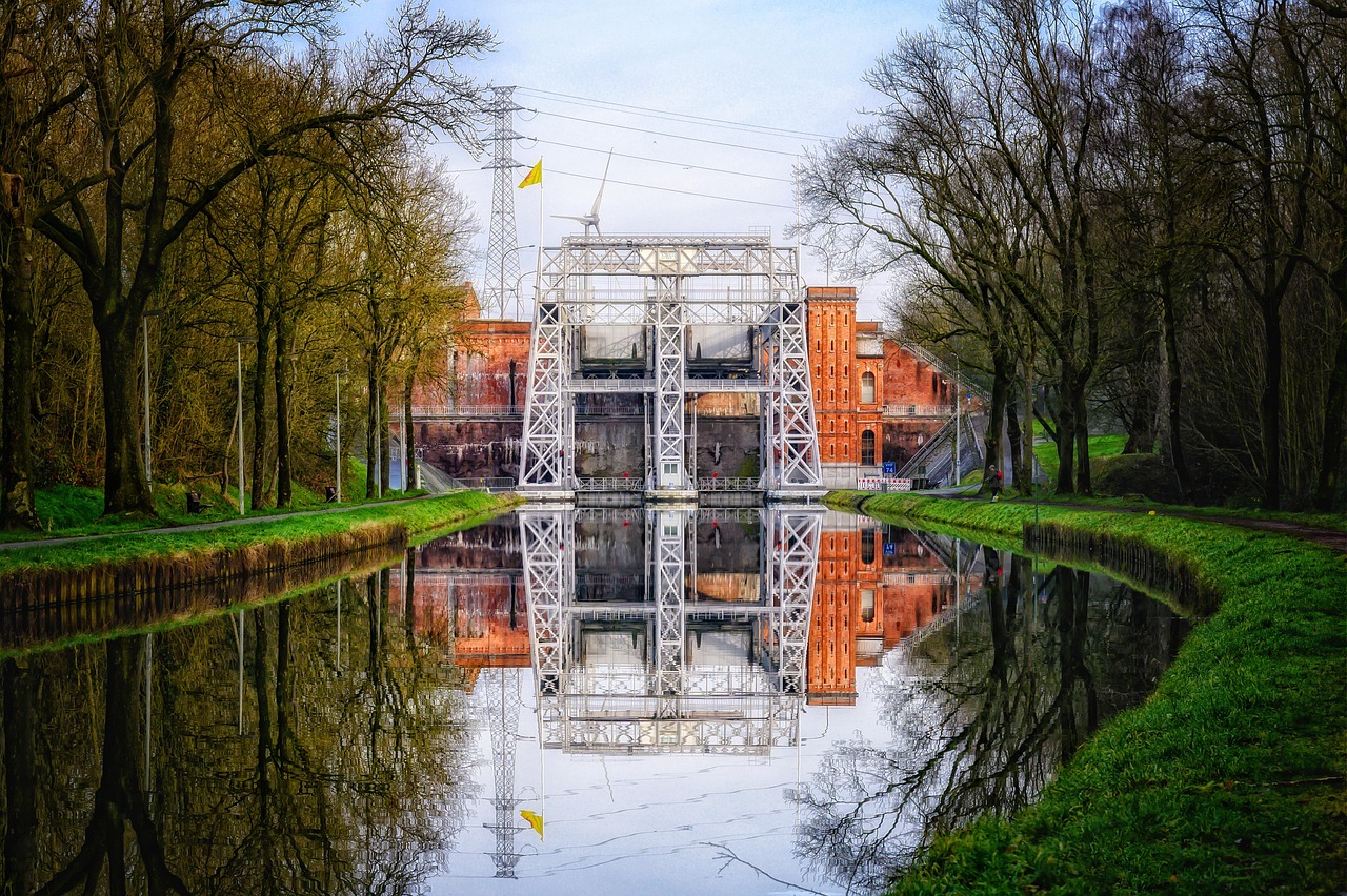
Locks, rock carvings and granite lakes – by camper through the Kawarthas and the Haliburton Highlands – ship lift, lock, channel© Tama66 · Pixabay Content License
28
In-depth road trip guides

Locks, rock carvings and granite lakes – by camper through the Kawarthas and the Haliburton Highlands

273 mi14 stops7 days
Loons, Shaker barns and lobster traps – by camper through New Hampshire’s Lakes Region and down to the coast – Canterbury Shaker Village Building© MAConway123 · CC BY-SA 3.0
3
In-depth road trip guides

Loons, Shaker barns and lobster traps – by camper through New Hampshire’s Lakes Region and down to the coast

193 mi14 stops6 days
Waterfalls, wood bison and houseboats – by camper along the Waterfalls Route to Yellowknife – Grimshaw Banner© Wilson Hui from Calgary, Canada · CC BY 2.0
1
In-depth road trip guides

Waterfalls, wood bison and houseboats – by camper along the Waterfalls Route to Yellowknife

744 mi13 stops7 days
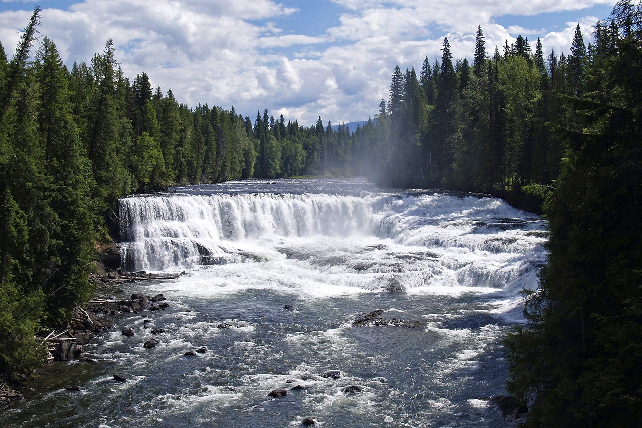
Dinosaur tracks, dams and the thunder of Kinuseo – by camper through the Peace River country of north-eastern British Columbia – Kinuseo Falls© Urban Walnut · Public domain
29
In-depth road trip guides

Dinosaur tracks, dams and the thunder of Kinuseo – by camper through the Peace River country of north-eastern British Columbia

305 mi11 stops6 days
Islands, wooden bridges and moose tracks – by camper from Burlington across the Champlain Islands into the Northeast Kingdom – A mountain rises beside tranquil watersPhoto by LXS Photography on Unsplash
2
In-depth road trip guides

Islands, wooden bridges and moose tracks – by camper from Burlington across the Champlain Islands into the Northeast Kingdom

232 mi14 stops6 days

Europe · 365 routes

The newest 24 are shown here; all routes are in the trip guide catalogue.

Lake Maggiore and Lake Orta – white concrete structures on islandPhoto by Jean VIVIN on Unsplash
SS33
Classic European drives

Lake Maggiore and Lake Orta

63 km7 stops3 days
Bergamo, Lake Iseo and the Valcamonica rock art – Franciacorta, Vigneto con Santissima di Gussago© Fabio Ingrosso from Italy · CC BY 2.0
SS42
Villages, wine & culture

Bergamo, Lake Iseo and the Valcamonica rock art

108 km7 stops3 days
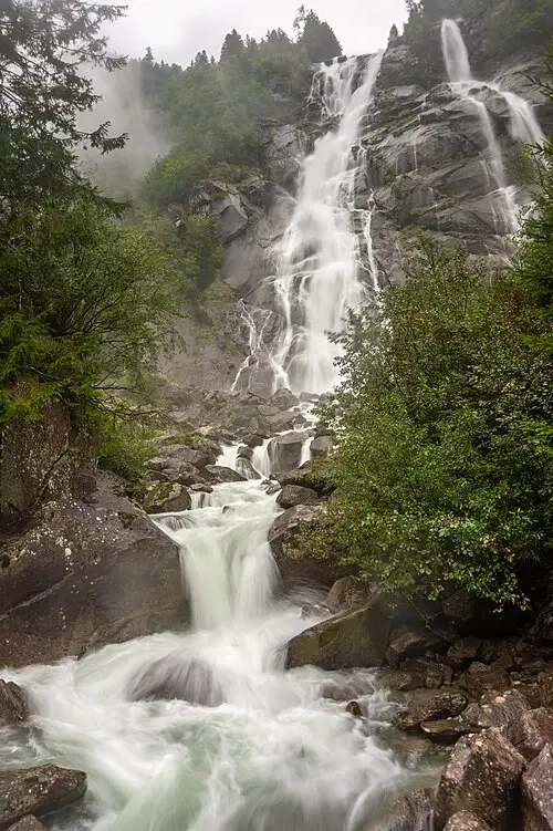
Brenta Dolomites and the Val di Non – Nardis Waterfalls in a rainy day, Val Genova© Marco Ober · CC BY-SA 4.0
SS239
Mountains & lakes

Brenta Dolomites and the Val di Non

129 km8 stops4 days
Friuli: from the Adriatic lagoons to the Julian Alps – Castello di Miramare 0904 interior 4© Aconcagua (talk) · CC BY-SA 3.0
E55
Villages, wine & culture

Friuli: from the Adriatic lagoons to the Julian Alps

200 km8 stops4 days
Palladian villas and the Prosecco hills – white concrete building under blue sky during daytimePhoto by VJ Von Art on Unsplash
SS248
Themed road trips

Palladian villas and the Prosecco hills

106 km8 stops3 days
Route des Grandes Alpes: Lake Geneva to the Riviera – a bridge that is on top of a snowy mountainPhoto by Hongbin on Unsplash
D902
Classic European drives

Route des Grandes Alpes: Lake Geneva to the Riviera

444 km7 stops5 days
Great Dolomite Road: Bolzano to Cortina – a lake with a mountain in the backgroundPhoto by Harald Munter on Unsplash
SS241
Mountains & lakes

Great Dolomite Road: Bolzano to Cortina

93 km6 stops3 days
Lake Garda loop – a boat is docked in front of a castlePhoto by Patrick Pahlke on Unsplash
SS45bis
Mountains & lakes

Lake Garda loop

127 km7 stops3 days
A loop through the Dolomites© Luca Bravo lucabravo · CC0
SS48
Mountains & lakes

A loop through the Dolomites

220 km8 stops4 days
Piedmont’s western valleys: forts and the source of the Po – gold and white religious figurinePhoto by Łukasz Dańczak on Unsplash
SR23
Mountains & lakes

Piedmont’s western valleys: forts and the source of the Po

223 km8 stops4 days
Normandy’s D-Day beaches – A golden winged horse statue atop a stone pillar against a blue skyPhoto by Markus Kammermann on Unsplash
D514
Themed road trips

Normandy’s D-Day beaches

142 km8 stops3 days
Finistère: the capes at the end of Brittany – grey cliff beside oceanPhoto by Hannah Reding on Unsplash
D887
Coasts & islands

Finistère: the capes at the end of Brittany

209 km7 stops3 days
South Brittany: menhirs and the Gulf of Morbihan – a castle like building with a blue door and two towersPhoto by Pascal Bernardon on Unsplash
E60
Motorhome-friendly trips

South Brittany: menhirs and the Gulf of Morbihan

170 km7 stops3 days
Upper Loire: canal bridges and Sancerre wine – Saint-Benoît-sur-Loire - Abbatiale Saint-Benoît 03© Pymouss · CC BY-SA 4.0
D951
Villages, wine & culture

Upper Loire: canal bridges and Sancerre wine

226 km8 stops3 days
Chablis, Vézelay and the Morvan – Abbaye de Fontenay01© Nikater · CC BY-SA 3.0
D965
Villages, wine & culture

Chablis, Vézelay and the Morvan

237 km7 stops4 days
Jura: yellow wine, blind valleys and waterfalls – Royal Saltworks of Arc-et-Senans (10473372475)© rob Stoeltje from loenen, netherlands · CC BY 2.0
N5
Mountains & lakes

Jura: yellow wine, blind valleys and waterfalls

137 km7 stops3 days
Route des Crêtes through the Vosges – a small animal standing on a rockPhoto by Adrien Stachowiak on Unsplash
D431
Mountains & lakes

Route des Crêtes through the Vosges

75 km6 stops2 days
Lorraine: Metz, Nancy and Verdun – cathedral interior photographPhoto by Tomás Robertson on Unsplash
D964
Themed road trips

Lorraine: Metz, Nancy and Verdun

166 km7 stops3 days
Champagne: Reims to the Côte des Blancs – Reims Cathedral (8132674744)© Michal Osmenda from Brussels, Belgium · CC BY 2.0
D951
Themed road trips

Champagne: Reims to the Côte des Blancs

60 km7 stops2 days
Savoy lakes and the Chartreuse massif – Hautecombe© Martin Leveneur · CC BY-SA 3.0
D912
Motorhome-friendly trips

Savoy lakes and the Chartreuse massif

133 km7 stops3 days
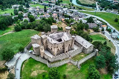
Aosta Valley: castles and Gran Paradiso – CastelloDiFénisJuly292023 01© Hagai Agmon-Snir حچاي اچمون-سنير חגי אגמון-שניר · CC BY-SA 4.0
E25
Mountains & lakes

Aosta Valley: castles and Gran Paradiso

177 km6 stops3 days
Stelvio and Bernina: two giants of the Alps – a road going through a valleyPhoto by Samuele Bertoli on Unsplash
SS38
Mountains & lakes

Stelvio and Bernina: two giants of the Alps

123 km6 stops3 days
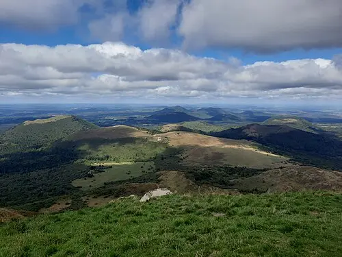
Auvergne volcanoes: Puy de Dôme to Puy Mary – Panorama Nord - Puy de dome© Thalia Gylonno · CC BY-SA 2.0
D680
Classic European drives

Auvergne volcanoes: Puy de Dôme to Puy Mary

135 km7 stops4 days
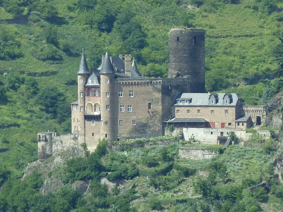
Castles of the Rhine and Moselle – Burg Katz von der Loreley aus - panoramio© Ralf Houven · CC BY 3.0
B9
Themed road trips

Castles of the Rhine and Moselle

214 km8 stops3 days

Oceania · 46 routes

The newest 24 are shown here; all routes are in the trip guide catalogue.
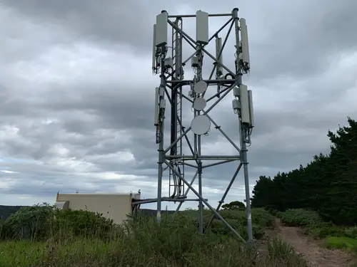
From the Bay of Islands to Cape Reinga and back – A communications tower at the top of Whangatauatia© Avcer0 · CC BY-SA 4.0
SH1
Classic American drives

From the Bay of Islands to Cape Reinga and back

244 km8 stops3 days
Red gorges, ghost gums and starry skies – by camper along the Red Centre Way to Uluṟu – Uluru, AustraliaPhoto by Eugenie Lai on Unsplash

87
In-depth road trip guides

Red gorges, ghost gums and starry skies – by camper along the Red Centre Way to Uluṟu

1,128 km14 stops8 days
Sugar cane, the Coral Sea and cassowaries – up the Queensland coast by camper to Cape Tribulation – AndrewMercerIMG 5585 Australian Water Dragon© Andrew Mercer (www.baldwhiteguy.co.nz) · CC BY-SA 3.0
A1
In-depth road trip guides

Sugar cane, the Coral Sea and cassowaries – up the Queensland coast by camper to Cape Tribulation

1,921 km14 stops8 days
Limestone pillars, shell beaches and whale sharks – the Coral Coast by camper from Perth to Ningaloo – Emu running on the beach at Monkey Mia, July 2020 01© Calistemon · CC BY-SA 4.0
1
In-depth road trip guides

Limestone pillars, shell beaches and whale sharks – the Coral Coast by camper from Perth to Ningaloo
1,533 km14 stops8 days
Pelicans, lighthouses and rainforest – up the north coast of New South Wales to Byron Bay by camper – Sydney, Opera House during daytimePhoto by Dan Freeman on Unsplash
A1
In-depth road trip guides

Pelicans, lighthouses and rainforest – up the north coast of New South Wales to Byron Bay by camper
885 km14 stops8 days
Crater lakes, strangler figs and lava tubes – by camper through the Atherton Tablelands into savannah country – a waterfall in the middle of a forestPhoto by Bailey Cullen on Unsplash
1
In-depth road trip guides

Crater lakes, strangler figs and lava tubes – by camper through the Atherton Tablelands into savannah country
744 km14 stops8 days
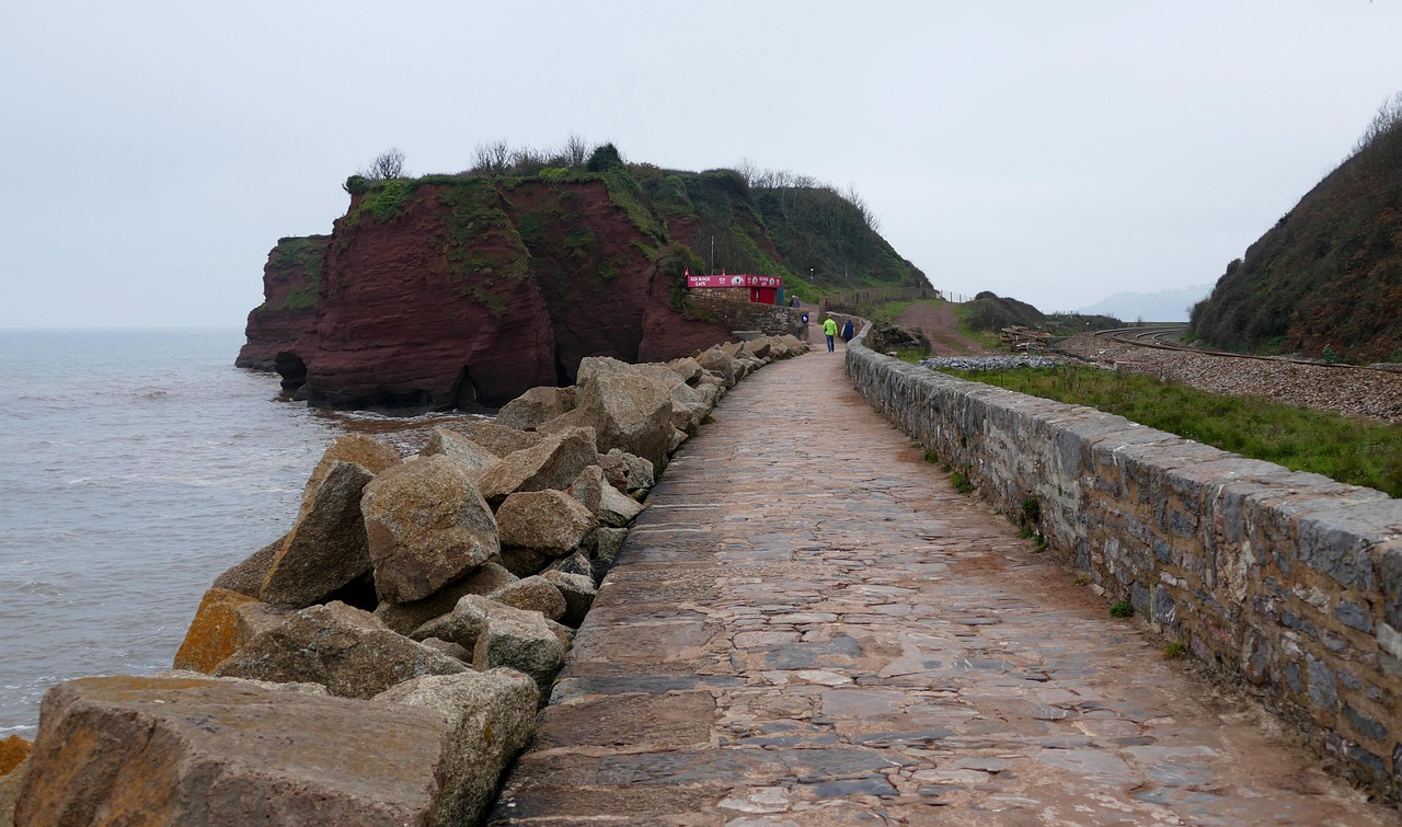
Iron ore, gorges and rock engravings – by campervan through the Pilbara and Karijini National Park – dawlish warren, beach, coast© InspiredImages · Pixabay Content License
1
In-depth road trip guides

Iron ore, gorges and rock engravings – by campervan through the Pilbara and Karijini National Park
1,544 km14 stops8 days
Sapphires, dinosaurs and swagmen – by camper from the Tropic of Capricorn along the Matilda Way into outback Queensland – green palm trees under blue sky during daytimePhoto by Valentina Golubovic on Unsplash
A2
In-depth road trip guides

Sapphires, dinosaurs and swagmen – by camper from the Tropic of Capricorn along the Matilda Way into outback Queensland
2,262 km13 stops8 days
Wheat, granite and a pipeline to the gold – by camper from the Perth Hills through the Wheatbelt to Kalgoorlie – city buildings near body of water during daytimePhoto by Nathan Hurst on Unsplash
94
In-depth road trip guides

Wheat, granite and a pipeline to the gold – by camper from the Perth Hills through the Wheatbelt to Kalgoorlie
1,164 km14 stops8 days
Rainforest, granite and frosty nights – by camper through the Scenic Rim and Granite Belt – city skyline under clear blue sky during daytimePhoto by Brisbane Local Marketing on Unsplash
A15
In-depth road trip guides

Rainforest, granite and frosty nights – by camper through the Scenic Rim and Granite Belt

608 km14 stops8 days
Frosty mornings, gorge rims and granite circles – the New England Tablelands by camper – mountain covered by treesPhoto by Shikhar Gupta on Unsplash
A15
In-depth road trip guides

Frosty mornings, gorge rims and granite circles – the New England Tablelands by camper

794 km14 stops8 days
Coffs Harbour to Byron Bay: Rainforest and Lighthouse – Large green banana leaves illuminated by sunlight against a dark shaded backgroundPhoto by Giri on Unsplash
M1
Scenic byways

Coffs Harbour to Byron Bay: Rainforest and Lighthouse

367 km9 stops4 days
Bunya pines, reservoirs and red earth – by camper through the Brisbane Valley to the Bunya Mountains and the South Burnett – landscape photography of city near riverPhoto by Alice Duffield on Unsplash
A3
In-depth road trip guides

Bunya pines, reservoirs and red earth – by camper through the Brisbane Valley to the Bunya Mountains and the South Burnett
589 km14 stops8 days
Goldfields, tidal rivers and an emerald gorge – by camper along the Savannah Way to the Gulf of Carpentaria – people walking on sidewalk during daytimePhoto by Steve Douglas on Unsplash
1
In-depth road trip guides

Goldfields, tidal rivers and an emerald gorge – by camper along the Savannah Way to the Gulf of Carpentaria
1,438 km12 stops8 days
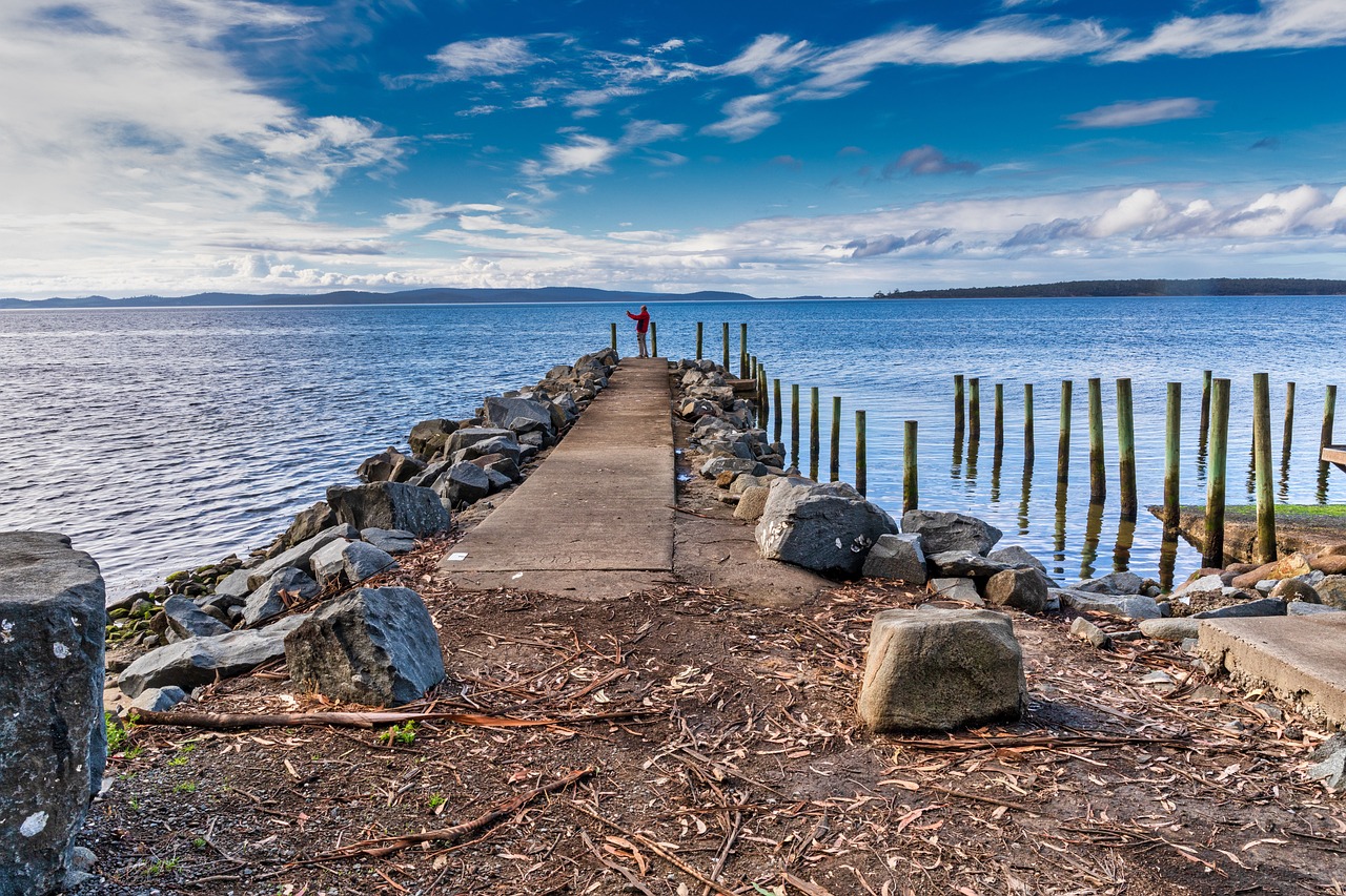
Granite boulders, telegraph stations and outback pubs – by camper along the Explorers Way to Katherine – Wycliffe well - panoramio - AwOiSoAk KaOsIoWa© AwOiSoAk KaOsIoWa · CC BY-SA 3.0
87
In-depth road trip guides

Granite boulders, telegraph stations and outback pubs – by camper along the Explorers Way to Katherine
1,354 km14 stops7 days
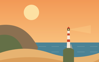
Red dunes, bore water and ghost pubs – through the Channel Country to Birdsville by camper – middleton, australia, tasmania© PixbayBlade · Pixabay Content License
83
In-depth road trip guides

Red dunes, bore water and ghost pubs – through the Channel Country to Birdsville by camper

1,695 km10 stops8 days
Sandblow, humpback whales and turtle beach – by camper along the Fraser Coast, K’gari and Bundaberg to the Town of 1770 – Aerial view of people swimming and paddleboarding in clear turquoise water at Noosa Main BeachPhoto by Queensland, Australia on Unsplash
A1
In-depth road trip guides

Sandblow, humpback whales and turtle beach – by camper along the Fraser Coast, K’gari and Bundaberg to the Town of 1770
541 km14 stops7 days
Sugar cane, platypuses and kangaroos in the morning light – by camper through Mackay, Eungella and the Whitsunday hinterland – building, house, roof© oleg_mit · Pixabay Content License
A1
In-depth road trip guides

Sugar cane, platypuses and kangaroos in the morning light – by camper through Mackay, Eungella and the Whitsunday hinterland
373 km12 stops8 days
Sapphires, sandstone and stencilled hands – by camper through Queensland's Central Highlands – green palm trees under blue sky during daytimePhoto by Valentina Golubovic on Unsplash
A4
In-depth road trip guides

Sapphires, sandstone and stencilled hands – by camper through Queensland's Central Highlands

873 km13 stops8 days
Opal shafts, salt lakes and the old Ghan line – by camper along the Stuart Highway and the Oodnadatta Track – brown wooden bridge over blue sea during daytimePhoto by Rhys Moult on Unsplash
A87
In-depth road trip guides

Opal shafts, salt lakes and the old Ghan line – by camper along the Stuart Highway and the Oodnadatta Track
1,678 km14 stops8 days
Gold Coast and Hinterland Rainforests – gray and white koalaPhoto by Bob Walker on Unsplash
M1
Scenic byways

Gold Coast and Hinterland Rainforests

170 km9 stops4 days
Sunshine Coast, Hinterland and Noosa – Mt.Coonowrin and Mt.Beerwan as seen from mt. Ngungun (31545011901)© Tatters ✾ from Brisbane, Australia · CC BY-SA 2.0
M1
Coast & island drives

Sunshine Coast, Hinterland and Noosa

196 km10 stops3 days
K’gari and the Fraser Coast – Double Island Point Lightstation, Cooloola Shire, c 1931© Agriculture And Stock Department, Publicity Branch of the Queensland Government · Public domain
A1
National park loops

K’gari and the Fraser Coast

311 km12 stops5 days
Bundaberg to Mackay: Southern Reef and Capricorn Coast – sea turtle in waterPhoto by Erin Simmons on Unsplash
A1
Coast & island drives

Bundaberg to Mackay: Southern Reef and Capricorn Coast

1,140 km12 stops7 days

FAQs

Where is it not too hot to camp in summer?

Head north or head up. Scandinavia, Scotland, Ireland and the Baltic states have mild summers, and the Alps and other mountain regions stay pleasant thanks to the altitude. On the North Sea and Atlantic coasts, a sea breeze keeps things fresh. In southern Europe, the hottest weeks can make sleeping in a vehicle uncomfortable.

How far ahead should I book a campground for summer?

For popular coastal and lake campgrounds, the earlier the better: many fill up months ahead for the peak weeks. Ferries to islands and to Scandinavia are also worth booking early. If you prefer to travel without reservations, choose smaller campgrounds, quieter regions and the edges of the season, and arrive by early afternoon.