
In-depth guide · CampingSpirit
From the Street of the Knights in Rhodes Town via Kallithea and Lindos to the windswept cape of Prasonisi, then through the vineyards on Mount Attavyros to Kamiros and Petaloudes: a loop of about 330 kilometres around the island, with plenty of history, very few campsites and a ferry crossing that is part of the journey.
The spirit of the route
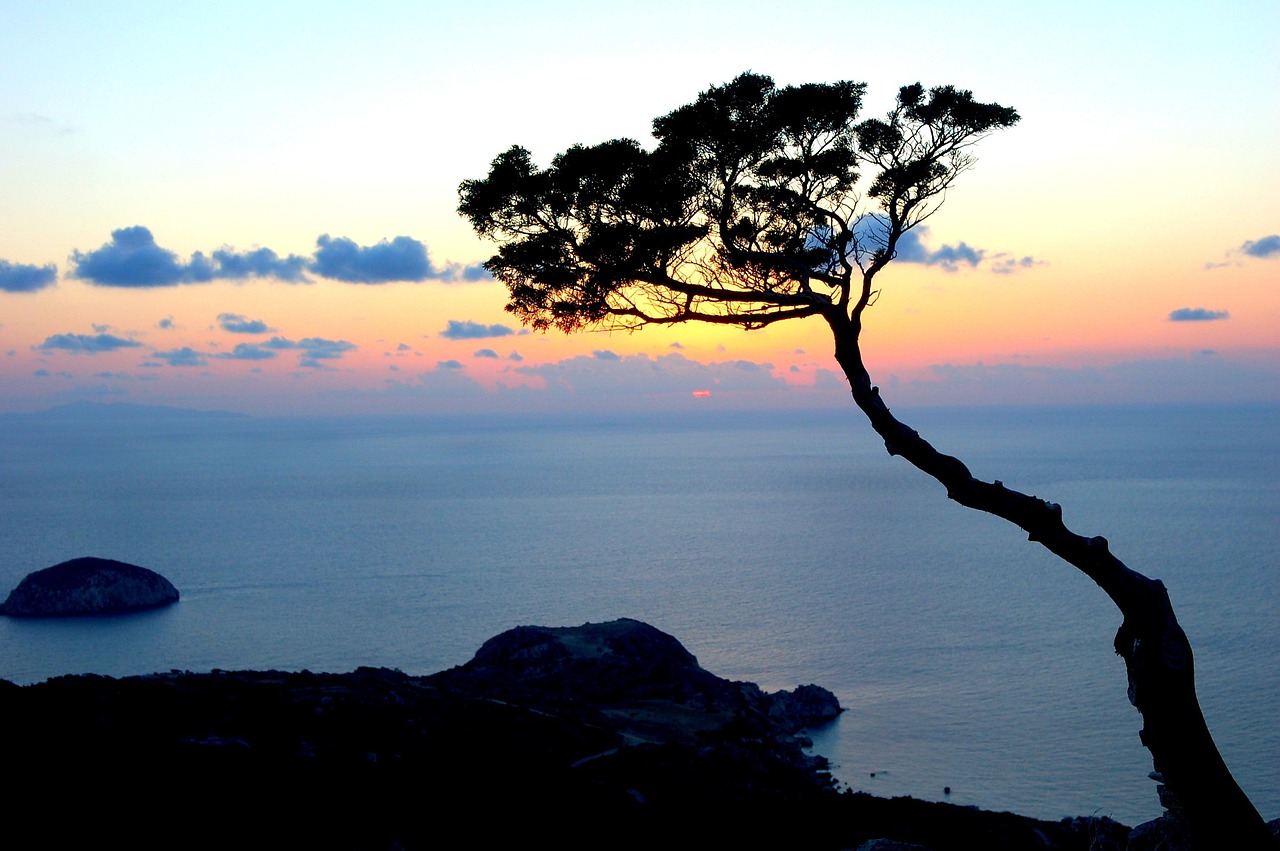
Rhodes is not an island for the hurried. Even the approach to the harbour shows you what to expect: limestone city walls, the defensive towers of the Knights of St John and, behind them, the minarets of a city shaped by knights, Ottomans and Italians. South of the capital the island grows quieter. On the east side there are bays with calm water, in the south the wind blows so hard over Prasonisi that two seas seem to fight over the sandbar, and in the west pine slopes climb to Mount Attavyros, where a temple of Zeus once stood on the summit. From your sliding door you will see chapels on rocks, goats on the road and, in late summer, olive trees full of cicadas. In return, you drive a lot of it with patience: winding coastal roads, hardly any pitches, midday heat. If you start early and leave time in the evening for a taverna meal by the harbour, you get an island that is more than beaches and package holidays.
Stage-by-stage plan
1Stage 1: Rhodes port to Rhodes Town (Old Town) (approx. 5 km)
- The drive
- Ferries dock at the commercial harbour east of the Old Town; from there it is only a short stretch through dense city traffic to Mandraki harbour and the parking options around the Old Town. The Old Town itself cannot be entered by motorhome: the lanes, archways and cobbles are barely designed for cars, and access is restricted. Plan the rest of the day on foot.
- Highlights & must-sees
- Street of the Knights (Odos Ippoton): the best-preserved Gothic lane of the Knights of St John, lined with the “inns” of the individual Langues; the Auberge de France is the most magnificent.
- Palace of the Grand Master at the top of the street, a mix of medieval castle and reconstruction from the 1930s.
- Mandraki harbour with its fortified towers and the deer statues at the entrance; a good place for an evening stroll along the mole with a view of the windmills.
- CampingSpirit overnight tip
-
Official campsite or RV park: There are very few campsites on Rhodes, and no regularly open site could be verified. What is documented, however, is a stopover on a terraced hillside above Vlycha Bay near Lindos: according to Campercontact with up to 10 pitches for motorhomes up to 12 m, with fresh water, waste disposal and a rubbish container, but without electricity, toilets and showers, and not bookable online. The information is based on a single listing on one portal with one review; check availability, price and pitch size with the operator beforehand. For the first night, an early start towards the south is a good idea.
Free camping or nature tip (where legal): Free camping is prohibited in Greece (see the legal situation below). Parking is allowed wherever there is no ban; in the town of Rhodes there is no time limit within built-up areas for vehicles up to 7.5 m, and a 24-hour limit above that, but around the Old Town there are zones with resident or paid parking rules, and many streets are too narrow for large vehicles. Check the signs on site. A night in the vehicle in the town area is not recommended.
- Insider tip for campers
- Park the motorhome outside the Old Town and walk in through one of the city gates. The shopping street Odos Sokratous is full of cruise passengers at midday; it is better to visit the Street of the Knights early in the morning, before the groups arrive. Refuelling and filling up with water works best in Rhodes Town, before you head south.
2Stage 2: Rhodes Town to Lindos (approx. 60 km)
- The drive
- From Rhodes Town the coast road leads south through Faliraki, Afandou and Kolymbia, and beyond that it alternates between coast and hills. The section as far as Archangelos is well built; after that it becomes narrower and twistier as far as Lindos. A good one to one and a half hours of pure driving time, a whole day with stops. Expect traffic jams around Faliraki in summer.
- Highlights & must-sees
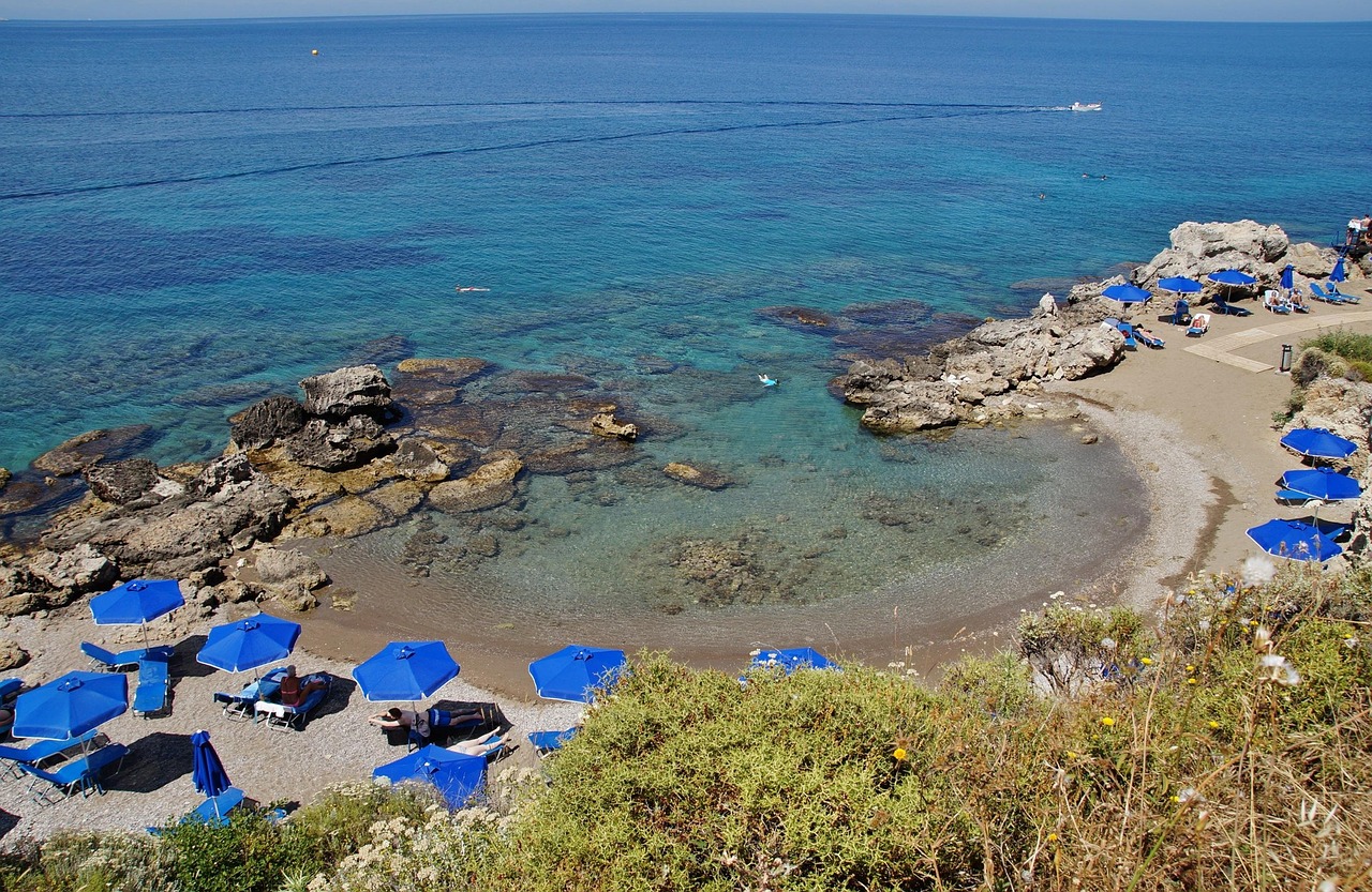
- Kallithea Springs: the bathing complex built by the Italians in 1929, with a rotunda, a dome and Moorish-style arches, today a swimming bay with clear water and snorkelling spots.
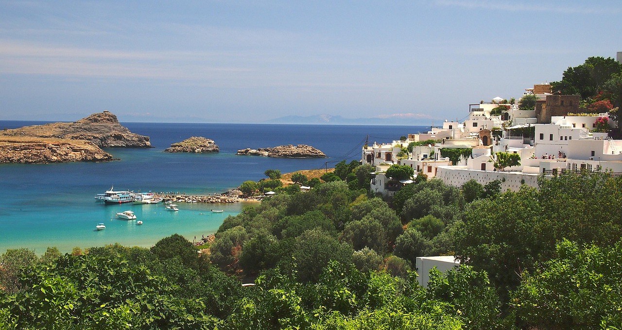
- Lindos: the acropolis with the Temple of Athena Lindia on a rock a good 100 metres high, with the white village of captains’ houses below.
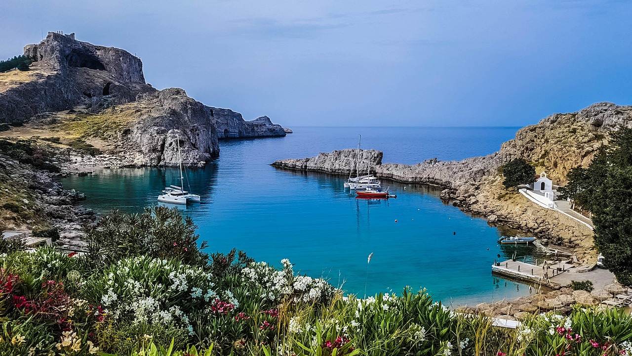
- Agios Pavlos (St Paul’s Bay) south of the acropolis: a small, almost enclosed bay where, according to tradition, the Apostle Paul is said to have landed.
- CampingSpirit overnight tip
-
Official campsite or RV park: There is no campsite here. The stopover above Vlycha Bay described in stage 1 is an option for accommodation, about two to three kilometres from the village and only by arrangement with the operator. Lindos itself offers neither space for motorhomes nor a stopover.
Free camping or nature tip (where legal): In and around Lindos, space for large vehicles is scarce; motorhomes are unsuitable for the village itself, and the car parks on the edge of the village are partly subject to charges. Parking rules and bans are decided by the signs on site. Staying overnight in the vehicle on these areas is risky. On remote coastal tracks parking is usually tolerated as long as no camping behaviour (table, chairs, awning) is visible.
- Insider tip for campers
- Go up to the acropolis early in the morning or late in the afternoon; in high summer the heat builds up on the rock, and the steps are steep. Donkeys carry visitors up; the use of the animals is controversial, and the walk is a good alternative. The approach to the village is narrow: it is better to leave large motorhomes in a car park on the edge of the village and walk the last few metres.
3Stage 3: Lindos to Prasonisi (approx. 65 km)
- The drive
- From Lindos back to the main road, then through Pefkos, Lardos, Kiotari and Gennadi, the region hit by major forest fires in 2023, and on via Lachania and Kattavia to the southern cape. The route is mostly quiet and well surfaced; from Kattavia a simple road of about 10 kilometres leads to the cape. A good two hours of driving time, with plenty of wind in the south, which tests vehicle and driver in crosswinds.
- Highlights & must-sees
- Gennadi and Lachania: villages with churches that mark the way into the interior, quieter than the coastal resorts.
- Kattavia: the last village before the southern tip, with tavernas and a village church.
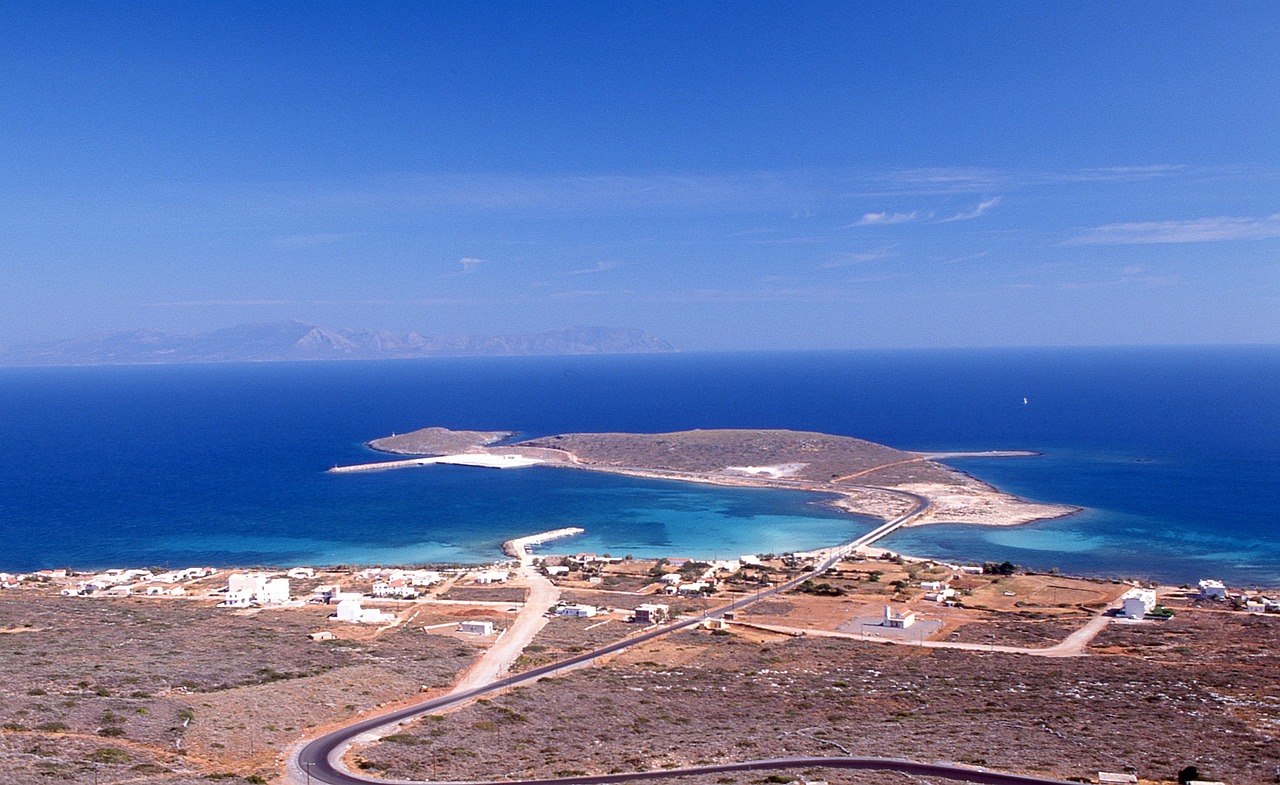
- Prasonisi: a sandbar that connects the island with the lighthouse when the sea is calm; the Aegean on one side, the Mediterranean on the other. In wind, a meeting point for surfers and kitesurfers.
- CampingSpirit overnight tip
-
Official campsite or RV park: There is no campsite, and no electricity or waste disposal either. If you plan a night at the cape, expect basic conditions: bring water and supplies from Kattavia, and empty the cassette beforehand.
Free camping or nature tip (where legal): For Prasonisi, as everywhere in Greece: parking is permitted under road traffic law, camping is prohibited. People have often stayed overnight in the car park by the sandbar so far; check signs, controls and local bans beforehand. In summer the beach is also used for water sports; do not drive onto the beach.
- Insider tip for campers
- The best times at the cape are the early morning hours or the late afternoon: at midday the meltemi blows hardest, and the wind pushes on the side of a high roof or body. Park the camper with its front into the wind and never park on soft sand. Fill the tank beforehand, as petrol stations are rare in the south.
4Stage 4: Prasonisi to Monolithos (approx. 55 km)
- The drive
- From Prasonisi back to Kattavia, then towards the west coast via Apolakkia to Monolithos. The road leads through pasture, olive groves and pine forest and is easy to drive in a motorhome, but sees little traffic, so drive with anticipation. After Apolakkia it climbs gently. About 1.5 hours of pure driving time.
- Highlights & must-sees
- Apolakkia: a quiet village with a reservoir nearby, the starting point for the west coast road.
- Kastro Monolithos: the castle of the Knights of St John, built around 1476 on a rock about 100 metres high above the sea, with a chapel inside and a wide view over the coast.
- Fourni beach below the castle: a small beach in a bay, rough in a west wind.
- CampingSpirit overnight tip
-
Official campsite or RV park: There is no campsite here either. In Monolithos, plan only a visit and use the local taverna for dinner before spending the night in another area.
Free camping or nature tip (where legal): On the west coast a strong west wind often blows; car parks above the castle and at the beach may be used by motorhomes unless bans apply. Staying overnight on site is legally possible only in a correctly parked vehicle without camping behaviour.
- Insider tip for campers
- Drive to the kastro in the late afternoon, when the sun is low and the rocks turn golden. The climb to the castle follows a steep path with steps, and sturdy shoes make sense. The car park at the castle is small; motorhomes over 7 m are better parked on the edge of the village.
5Stage 5: Monolithos to Embonas (approx. 35 km)
- The drive
- From Monolithos the road goes via Siana and the slopes of Mount Attavyros to Embonas. The road is twisty, with descents and climbs within a few kilometres, but well built. About one hour of pure driving time; considerably longer with stops at the wineries. Lorries and buses come the other way in summer, so use the passing places.
- Highlights & must-sees
- Siana: a mountain village on the slopes of Attavyros, known for honey and thyme.
- Embonas: the wine village at the foot of Attavyros with several wineries. The Athiri and Amorgiano grape varieties grow at altitude.
- Attavyros (about 1,215 m): the highest mountain on the island, with the remains of a sanctuary of Zeus Atabyrios; for the ascent, plan several hours and good weather, and ask locally about the starting point and the condition of the path.
- CampingSpirit overnight tip
-
Official campsite or RV park: No campsite is known in this region. The nearest option for supplies and waste disposal is again the town of Rhodes or the stopover at Vlycha described above, which is, however, far from Embonas.
Free camping or nature tip (where legal): The Attavyros area has pine forests where there is a fire risk in summer; fires and barbecues are taboo, and in times of high wildfire danger paths are closed. Park on village streets only where it does not obstruct traffic.
- Insider tip for campers
- Visit a winery in the morning, not in the afternoon if you still have to drive. The wineries usually receive guests without an appointment, but check on site whether a motorhome fits in the yard. Try the Athiri and buy a bottle to take away rather than a case, as the weight in the camper puts a strain on the rear axle.
6Stage 6: Embonas to Kamiros (approx. 35 km)
- The drive
- From Embonas the road leads via Kritinia down to the west coast and north to the ancient city of Kamiros. It winds along the mountain, partly with crash barriers and rockfall, and keeps offering views of the sea. Pure driving time about 1 to 1.25 hours.
- Highlights & must-sees
- Kritinia: a village on the slope between Attavyros and the coast, with Kastellos castle above it, built by the Knights of St John in 1472, with a view of the sea and the island of Chalki.
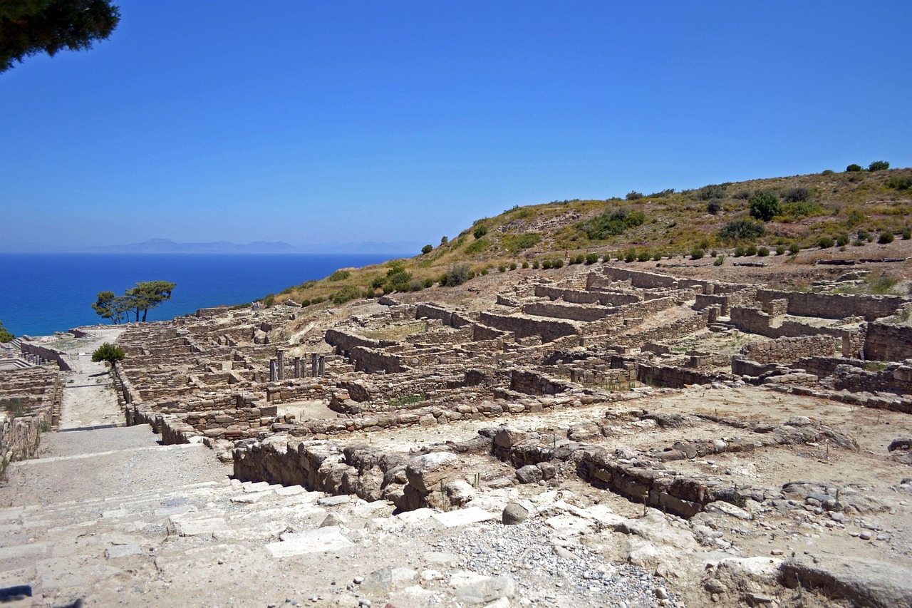
- Ancient Kamiros: a Doric city on a hillside, excavated from 1859, with an agora, a cistern, streets and houses; the site spreads out widely above the sea.
- Kamiros Skala: a small fishing harbour with tavernas, about five kilometres from Kritinia, and therefore a detour south of the excavation; boats to Chalki leave from here.
- CampingSpirit overnight tip
-
Official campsite or RV park: No campsite known. As a base, all that remains is to drive on or find accommodation in the region; the restaurants at the harbour of Kamiros Skala are open in the evening.
Free camping or nature tip (where legal): On the west coast there are several parking areas by the sea that are busy in summer. The general Greek rules apply to them: parking allowed, camping prohibited. Follow the signs, especially around the excavation site.
- Insider tip for campers
- The excavation offers hardly any shade, so visit early in the morning or towards evening and take water with you. Access is only partly suitable for wheelchairs and pushchairs. Check opening times and admission on site or with the archaeological authority, as they change seasonally.
7Stage 7: Kamiros to Petaloudes (Valley of the Butterflies) (approx. 35 km)
- The drive
- From Kamiros via Kalavarda and on towards the north-east to the Petaloudes valley. The section is easy and mostly well built, with a few villages where narrow roads through the village have to be negotiated. A good hour of pure driving time.
- Highlights & must-sees
- Petaloudes: the wooded valley with walkways and bridges, where in summer thousands of Jersey tiger moths (Euplagia quadripunctaria, also called the Spanish flag) rest on trees and rocks; they look like butterflies but are moths.
- The stream and the waterfalls on the valley floor make the walk worthwhile even outside the moths’ peak season; in winter, however, the valley is not accessible.
- Kalopetra Monastery on the hill above, founded in 1782, with a wide view.
- CampingSpirit overnight tip
-
Official campsite or RV park: No campsite is known. The car park at the start of the valley is meant for visitors and is not an overnight spot.
Free camping or nature tip (where legal): The valley is a protected area: fires, litter and noise are forbidden, and the animals must not be disturbed, so do not clap, whistle or shout. Motorhomes are best parked in the entrance car park; no overnight stays.
- Insider tip for campers
- The moths are present in large numbers only in high summer, roughly from June to September; outside that period hardly any can be seen. The valley is open only in the warm season and during the day; check opening times and admission in advance. Visit early, when it is cooler and the animals are resting. Stay on the paths.
8Stage 8: Petaloudes to Rhodes Town (via Filerimos) (approx. 40 km)
- The drive
- From Petaloudes via Theologos and Ialysos up to Filerimos hill, then down into Rhodes Town. The route is short, and the ascent to the hill is narrow and twisty. Motorhomes over 7 m are better parked down in the village, and you can walk or take a taxi. About one hour of pure driving time to Rhodes Town.
- Highlights & must-sees
- Filerimos: the ancient acropolis of Ialysos with the foundations of the Temple of Athena Polias, the Panagia monastery complex and a large cross with a view over the northern tip of the island.
- A Way of the Cross with stations along an avenue of cypresses, peacocks and a chapel make the hill peaceful and photogenic.
- Rhodes Town in the evening: back to the city, where the Old Town walls glow at dusk and the tavernas open.
- CampingSpirit overnight tip
-
Official campsite or RV park: For the last night the same applies as at the start: a campsite near the town could not be verified. Find out in good time where you will stay before the ferry or the return of the vehicle.
Free camping or nature tip (where legal): Free camping remains prohibited; in the town area zones and time limits apply. Park only on designated areas and follow the signs.
- Insider tip for campers
- Before handing back a rental vehicle or before the ferry departs, refuel, drain the water and empty the cassette, as disposal options on Rhodes are rare. Allow plenty of time for ferry check-in and keep your papers, vehicle dimensions and booking confirmation ready.
Camping practice & local rules
Wild camping & overnight parking
- Free camping is prohibited in Greece (Law 5170/2025); the penalty is €300 per person. Anything that goes beyond the outline of the vehicle counts as camping: awning, table, chairs, barbecue, extended levelling jacks, washing line.
- Parking is regulated by Road Traffic Law 5209/2025 (Art. 38), clarified by a police circular from 2026: in built-up areas motorhomes up to 7.5 m may park without a time limit, longer motorhomes and caravans for at most 24 hours at a stretch; outside built-up areas on designated areas or at the right-hand edge of the carriageway without a time limit, provided no ban applies. According to the police, staying in a correctly parked vehicle, including at night, is not an offence. Local bans take precedence.
- Rhodes has very few campsites, and no regularly open site could be verified for the circuit; plan your nights before the trip. A private stopover above Vlycha Bay near Lindos is documented (according to Campercontact up to 10 pitches, motorhomes up to 12 m, water and waste disposal only); clarify it and any farm offers directly with the operator. In OpenStreetMap only tent sites and church children’s camps are recorded on the island, no verified campsites.
- The south and the coastal forests are at risk of fire: in 2023 forest fires in the south around Gennadi and Kiotari forced thousands of people to be evacuated. Fires and barbecues are taboo everywhere in summer; in times of high wildfire danger paths are closed. Check the daily fire-danger map of the Greek civil protection authority.
- Useful apps: park4night and Campercontact, with user reports on pitches and waste disposal; the information is not official, so check prohibition signs on site.
Waste disposal & supplies
- A service station for motorhomes is rare on the island; according to portal information, the stopover above Vlycha Bay offers fresh water, waste disposal (including cassette) and rubbish containers. Clarify this before arrival, and leave the ferry with an empty cassette and a full fresh water tank.
- Empty grey water and the cassette only at disposal stations; dumping in nature or in harbour drains leads to complaints and to new bans.
- Water is scarce on Rhodes in summer. Tap water is chlorinated in many places or not designated as drinking water; buy drinking water in large containers at the supermarket and use your tank water sparingly.
- Gas: German exchange bottles are not exchanged. Autogas (LPG, “υγραέριο”) is not available everywhere on Rhodes; fill refillable bottles on the mainland and bring an adapter set. If in doubt, plan for a sufficient reserve.
Vehicle size & traffic rules
- Speed limits for motorhomes up to 3.5 t: 30 km/h in built-up areas as a rule, 50 km/h on multi-lane or physically separated main roads; 90 km/h outside built-up areas. Lower limits apply to vehicles over 3.5 t and combinations. Rhodes has no motorway in the strict sense; coastal roads and hill routes mostly allow only 30 to 60 km/h.
- There are no tolls on Rhodes. On the mainland, two-axle vehicles over 2.20 m in height pay Class 3, a good double the car rate; the Egnatia Odos has been in private hands since 2026, and the toll stations around Patras are partly unstaffed, so have a card or cash ready.
- Ferries: state length and height exactly when booking, including rear carrier, roof box and trailer, because ferries to and from Rhodes have different decks. Close gas bottles during the crossing and manoeuvre as instructed by the deck crew.
- Alcohol limit 0.5 per mille, 0.2 for novice and professional drivers; mobile phone at the wheel only with a hands-free kit. If a load projects beyond the rear, clearly visible marking is required; the red-and-white warning panel is the safe choice.
- Island roads: scheduled buses, coaches and delivery vans effectively have priority at narrow points. Sound the horn before blind bends and use passing places; after rain, limestone roads are slippery, and rockfall is to be expected on the west coast.
- Getting there: ferries run from Piraeus to Rhodes, and the crossing takes roughly 13 to well over 20 hours depending on the ship and route, sometimes with intermediate stops. Book a cabin and a vehicle space early. From Crete there is a connection from Sitia via Kasos and Karpathos to Rhodes, which runs only once or twice a week and takes about 8 to 10 hours; check the timetable and vehicle carriage in advance. How to get to Crete and what to expect there is covered in the CampingSpirit guide “Palm beaches, Minoan palaces and windmills”. Fast catamarans of the Dodecanese lines generally do not take vehicles. If you fly, you land at Diagoras airport south-west of the town and pick up a rental camper on the island; the choice there is small, so book early and check the insurance and ferry clauses.
CampingSpirit packing & preparation checklist
- Windproof tent pegs, storm lines and wind protection for the awning: on Prasonisi and on the west coast the meltemi blows strongly in high summer, and the awning is often better left rolled in.
- Two drinking water canisters (10 to 15 litres each) and a sun tarp: there is hardly any shade on the island and few drinking water points.
- Sturdy shoes and walking poles for Kastro Monolithos, Filerimos and the ascent of Attavyros; the paths are stony and very hot in summer.
- Adapter set for gas bottles and an LPG refillable bottle, in case you need autogas and cannot find any on Rhodes.
- Mosquito nets for the sliding door and an insect repellent; in the evening at the harbour and in the valleys there are many mosquitoes.
- Printed ferry booking with vehicle dimensions and ID papers, plus cash for small tavernas where cards are rarely accepted.
As of 2026-10. Closures, fees and booking rules change: check official sources before you go.