


In-depth guide · CampingSpirit
From York via Castle Howard, Helmsley and the high moor around Blakey Ridge to the steam railway at Goathland, then along the coast from Robin Hood’s Bay via Whitby and Staithes to the seabird cliffs of Flamborough: a good 300 kilometres of driving on the left, deliberately avoiding the steepest roads.
The spirit of the route
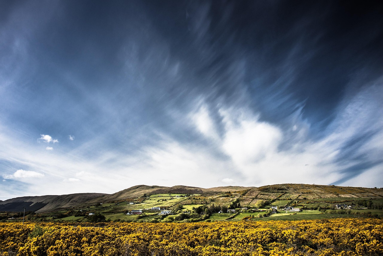
The North York Moors are the quiet heart of northern England: climbing up from the Vale of York, you suddenly find yourself driving across a plateau without hedges or trees, just heather, peat and sky, with sheep grazing beside the tarmac that no motorhome will impress. In late summer the flowering heather turns the hills purple, in autumn rust-brown. Down in the valleys lie stone villages with red-tiled roofs, abbey ruins from Cistercian times and steam trains whose smoke drifts across the moor. Then the land breaks off abruptly: fishing villages cling to ravines above the North Sea, kittiwakes scream over the cliffs, and Whitby harbour smells of tar, salt and fish and chips. From the sliding door you see abbey arches against the evening sky and white chalk cliffs with gannets circling. Drive slowly, park early, walk a lot – that is the best way to experience this landscape.
Stage-by-stage plan
1Stage 1: York to Castle Howard (approx. 30 km)
- The drive
- Explore the city of York itself on foot or by bus, not in the motorhome: the old town inside the city walls is cramped, the multi-storey and council car parks do not take motorhomes, and many access roads have height barriers. Afterwards take the ring road (A1237/A64) north-east, join the A64 towards Scarborough at the Hopgrove roundabout and, past Whitwell-on-the-Hill, turn left onto the narrower approach roads to Castle Howard. The last few kilometres run along a straight avenue through the estate with archways where you wait for oncoming traffic. A good half-hour’s drive.
- Highlights & must-sees
- York Minster: the Gothic cathedral with the Great East Window, one of the largest medieval stained-glass windows in Europe; the climb up the central tower follows narrow spiral staircases.
- The Shambles and the city walls: the overhanging timber-framed houses of the old butchers’ street in the early morning, then a stretch of the wall walk between Bootham Bar and Monk Bar with views of the Minster.
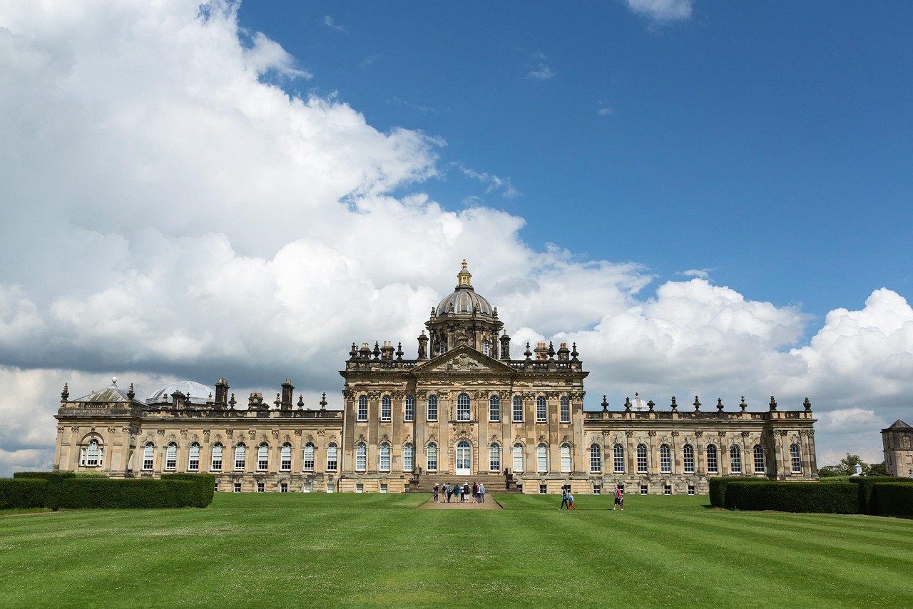
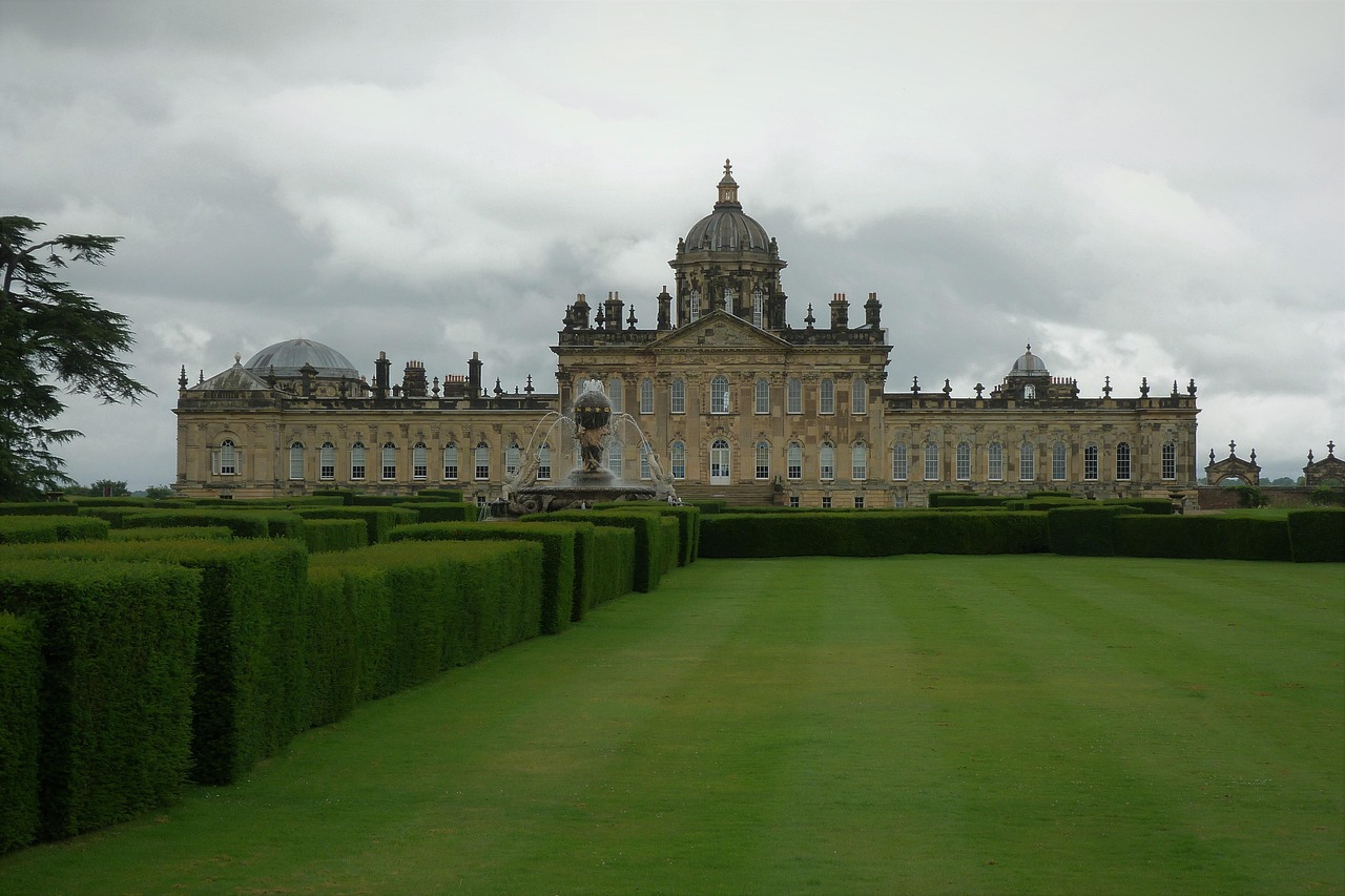
- Castle Howard: a Baroque stately home with a dome, mausoleum and temple in extensive parkland above a lake – known as a filming location for “Brideshead Revisited”.
- CampingSpirit overnight tip
-
Official campsite or RV park: In York, the York Rowntree Park Caravan and Motorhome Club Campsite lies on the bank of the Ouse, about a quarter of an hour’s walk from the old town; electric hook-ups, toilets and showers, water and waste disposal, in demand all year and so best booked early. At the end of the stage, Castle Howard Lakeside Holiday Park offers pitches for caravans and motorhomes by the estate’s lake; check the season and facilities with the operator in advance.
Free camping or nature tip (where legal): There is no right to free overnight parking in England. The City of York lets motorhomes park in dedicated areas for larger vehicles at its Askham Bar, Designer Outlet, Grimston Bar and Rawcliffe Bar Park and Ride sites, but not overnight; the sites close in the evening, so check opening times beforehand. A few large parking bays on Foss Islands Road are intended for motorhomes and can only be paid for by phone app. For the night, that leaves the Club site in Rowntree Park.
- Insider tip for campers
- Coming from the east on the A64, the Grimston Bar Park and Ride is your best bet; from the south, Askham Bar. Buses run frequently into the centre during the day. Half a day is enough for the Minster and the Shambles if you are in town before 9 am. Fill up and do your shopping on the outskirts, not in the city centre.
2Stage 2: Castle Howard to Helmsley (approx. 42 km)
- The drive
- Via Coneysthorpe and minor roads to Malton, a market town on the Derwent, then west on the B1257 through the rolling Howardian Hills and via Slingsby and Hovingham to Helmsley. The B-road is winding, partly lined with hedges and has a few short but not extreme climbs. For the detour to Rievaulx Abbey, a few kilometres north-west of Helmsley, a narrow road leads down into the Rye valley – with a large vehicle, take it slowly and watch for oncoming traffic. About an hour’s driving in total.
- Highlights & must-sees
- Malton: market square with food shops, bakeries and butchers; the town sees itself as the culinary centre of North Yorkshire and holds regular markets.
- Helmsley Castle (English Heritage): the ruin with its double earthworks and shattered tower on the edge of the market square, plus the Helmsley Walled Garden.
- Rievaulx Abbey (English Heritage): one of England’s great Cistercian abbeys in a narrow, wooded valley; above it lies the National Trust’s Rievaulx Terrace, looking down on the ruin. On foot, the start of the Cleveland Way leads from Helmsley to the abbey in a good hour.
- CampingSpirit overnight tip
-
Official campsite or RV park: Golden Square Caravan Park near Oswaldkirk, a few kilometres south of Helmsley: electric hook-ups, toilets and showers, water and waste disposal. A little to the east, near Wombleton, is the smaller Wombleton Caravan Park. Check the season and book with the operator.
Free camping or nature tip (where legal): The car parks of the National Park Authority and English Heritage are day car parks; sleeping in your vehicle is not intended there. Around Helmsley there are several small Certificated Locations of the Caravan and Motorhome Club and Certificated Sites of the Camping and Caravanning Club on farms, often members-only and licensed for just a few vehicles – a quiet, legal alternative to wild camping.
- Insider tip for campers
- The A170 west of Helmsley climbs Sutton Bank, one of the steepest main roads in England; it is closed to caravan outfits, and you should not drive it in a motorhome unless you have to. Coming from the Yorkshire Dales, bypass it to the south via Thirsk and Easingwold. Malton and Helmsley have signposted car parks on the edge of town; avoid Helmsley market square in a motorhome.
3Stage 3: Helmsley to Rosedale Abbey via Hutton-le-Hole and Blakey Ridge (approx. 55 km)
- The drive
- Take the A170 to Kirkbymoorside and head north to Hutton-le-Hole. From there the road to Castleton climbs onto the ridge of Blakey Ridge: an open moorland road without fences, with cattle grids, sheep on the tarmac and wide views over Farndale and Rosedale. Turn round at the Lion Inn and return the same way. Do not drive into Rosedale over Chimney Bank, the direct link from Hutton-le-Hole to Rosedale Abbey: it has gradients of 1 in 3 (around 33 per cent) and tight hairpins and is unsuitable for motorhomes and caravan outfits. Likewise avoid the steep descents from Blakey Ridge into the upper valley. Instead, go from Hutton-le-Hole back to the A170, via Wrelton to Cropton and up the valley through Hartoft to Rosedale Abbey. A good hour and a half’s driving.
- Highlights & must-sees
- Ryedale Folk Museum in Hutton-le-Hole: open-air museum with reconstructed farmhouses, workshops and a thatched timber-framed cottage; in the village itself sheep graze on the green by the beck.
- Blakey Ridge and the Lion Inn: the lonely inn on the moorland ridge is reckoned to be one of the highest pubs in England; from here you can walk along the old trackbed of the Rosedale ironstone railway with views over the whole valley.
- Rosedale East Mines: the ruins of 19th-century calcining kilns on the hillside above Rosedale, relics of ironstone mining, reachable on foot via the railway trackbed.
- CampingSpirit overnight tip
-
Official campsite or RV park: The former Caravan and Motorhome Club site The Howard in Rosedale Abbey has closed. In the village is the private Rosedale Abbey Caravan Park; check the season, motorhome pitches and booking with the operator in advance. The only suitable approach is the route via Wrelton, Cropton and Hartoft, not the satnav; in Cropton watch out for a descent and a humpback bridge. Alternatively, Hutton-le-Hole Caravan Park on the edge of Hutton-le-Hole.
Free camping or nature tip (where legal): The North York Moors are a national park; overnight stays are not permitted in the moorland car parks and lay-bys on Blakey Ridge, and campfires and barbecues on the heather are also forbidden because of the fire risk to peat and heather. The Lion Inn has a car park for guests; check with the landlord beforehand whether a night there is possible.
- Insider tip for campers
- Satnavs like to route you over Chimney Bank or other shortcuts – in the Moors, drive only by map and road signs, and take warning signs showing “1 in 3” or “1 in 4” seriously. Sheep and lambs grazing on the moorland roads wander unpredictably across the carriageway; keep your speed well below the limit and slow down before cattle grids.
4Stage 4: Rosedale Abbey to Pickering (approx. 18 km)
- The drive
- Take the same valley road as on the way in, via Hartoft and Cropton, back to Wrelton and then the A170 to Pickering. A short stage on quiet, easy roads; in Pickering it gets tight around the market place and the station. Just under half an hour’s driving – the rest of the day belongs to the steam railway.
- Highlights & must-sees
- North Yorkshire Moors Railway: the heritage line from Pickering up through narrow Newtondale to Goathland and Grosmont, on some days on to Whitby; the motorhome stays put.
- Pickering Castle (English Heritage): motte with a Norman curtain wall and views over the town and the railway line.
- The church of St Peter and St Paul in Pickering with large medieval wall paintings, including legends of the saints and St George fighting the dragon.
- CampingSpirit overnight tip
-
Official campsite or RV park: Black Bull Caravan Park on Malton Road, about 2.5 kilometres south of Pickering town centre: electric hook-ups, toilets and showers, waste disposal. There are further sites near Wrelton and on the A170 towards Thornton-le-Dale. Check seasonal opening in advance.
Free camping or nature tip (where legal): Around Pickering, motorhomes stay overnight only on campsites and small club pitches. In Forestry England’s Dalby Forest, north-east of Pickering, the forest drive is subject to a charge and intended for day visitors; overnight stays in the forest car parks are not intended.
- Insider tip for campers
- Check North Yorkshire Moors Railway tickets online the day before: the timetable and destination station change through the year, and trains are full on holidays. A single journey to Goathland and a walk back into Newtondale make a good full day. Fill up with water and fuel in Pickering before moving on – there are no petrol stations on the moor.
5Stage 5: Pickering to Robin Hood’s Bay via Goathland (approx. 50 km)
- The drive
- Head north on the A169 across the open moor, past the Hole of Horcum hollow and the radar installations of RAF Fylingdales. After about 20 kilometres turn left for Goathland: a narrow approach across the heather with cattle grids and free-roaming sheep. Return to the A169 and descend the long, steep gradient of Blue Bank (1 in 5, i.e. 20 per cent, with an escape lane) to Sleights – select a low gear and spare the brakes. Take the A171 towards Scarborough and the B1447 to Robin Hood’s Bay. A good hour’s driving in total.
- Highlights & must-sees
- Hole of Horcum: the deep, round hollow right beside the A169; from the car park on the A169 above it, a circular path leads down into it and around the rim.
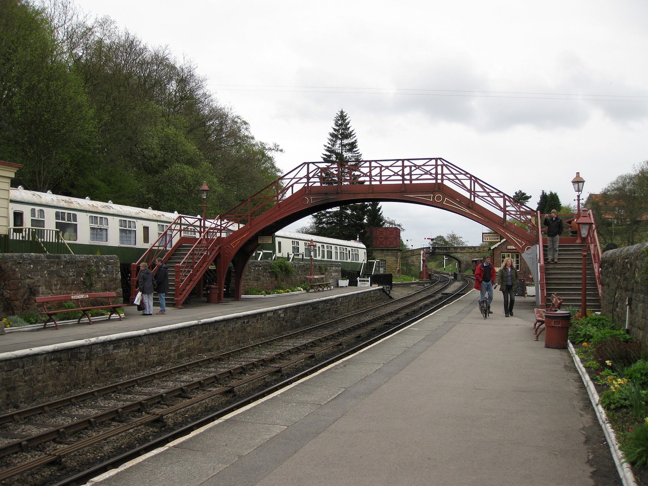
- Goathland: moorland village with sheep grazing on the verges, a steam railway station styled around 1920 and a short path down to the Mallyan Spout waterfall.
- Robin Hood’s Bay: the old smugglers’ village with winding lanes that drop steeply to a rocky shore with rock pools and fossils.
- CampingSpirit overnight tip
-
Official campsite or RV park: Middlewood Farm Holiday Park in Fylingthorpe, above Robin Hood’s Bay and about 15 minutes’ walk from the village: electric hook-ups, toilets and showers, waste disposal. Also close to the village is Hooks House Farm, with views over the bay. Book early in high season.
Free camping or nature tip (where legal): Only residents may drive down into the old village of Robin Hood’s Bay; the road is extremely steep and there is no turning space at the bottom. Visitors park at the top in the council’s Station Car Park or Bank Top Car Park – for the day only; Bank Top has no dedicated motorhome spaces, and sleeping, camping and cooking in vehicles are prohibited in North Yorkshire Council car parks. The car parks on the A169 are also day car parks.
- Insider tip for campers
- Blue Bank near Sleights is a long, steep descent – plan to drive it downhill and take particular care after rain. In Robin Hood’s Bay, mind the tides: if you walk south along the beach at low tide, you must be back before the tide comes in, as the cliffs offer hardly any ways up.
6Stage 6: Robin Hood’s Bay to Runswick Bay via Whitby and Staithes (approx. 32 km)
- The drive
- Take the A171 to Whitby, cross the Esk on the A171 high-level bridge and, on the western edge of town, join the A174 along the coast to Sandsend. Beyond Sandsend the A174 climbs the very steep Lythe Bank up onto the coastal plateau; continue via Hinderwell to Staithes and back to the turning for Runswick Bay. Whitby is busy in summer and at weekends, and the bridge and the roads to the harbour get congested. A good hour’s driving time.
- Highlights & must-sees
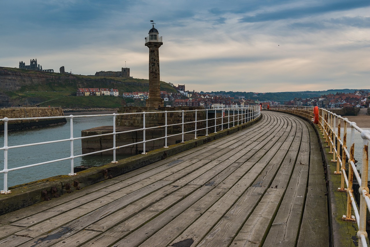
- Whitby Abbey (English Heritage) and the 199 Steps: the steps lead up from Church Street in the old town to St Mary’s Church and the abbey ruin on the East Cliff, which inspired Bram Stoker’s “Dracula”.
- Captain Cook Memorial Museum on Grape Lane: the house of the shipowner with whom James Cook lived as an apprentice, with maps and drawings from his voyages; the Cook statue stands on the West Cliff.
- Staithes: fishing village in a ravine where the young Cook worked in a shop; from the harbour and the Cowbar side, views of the colourful boats and the Cowbar Nab cliff.
- CampingSpirit overnight tip
-
Official campsite or RV park: Runswick Bay Caravan and Camping Park near Hinderwell, above the bay: electric hook-ups, toilets and showers, waste disposal; walk down to the beach at Runswick Bay. Near Whitby are Sandfield House Farm on the road to Sandsend and Whitby Holiday Park above Saltwick Bay, from which the Cleveland Way leads to the abbey.
Free camping or nature tip (where legal): North Yorkshire Council bans motorhomes from parking between 11 pm and 7 am on the A174 south of Sandsend; the ban is permanent. In Whitby, Staithes and Runswick Bay the car parks are day car parks; motorhomes may not park in Whitby’s marina car parks between 11 pm and 7 am. Staithes is practically impassable for visitors’ vehicles: park at the top by the village entrance and walk down. A very steep road also leads down to a small car park by the beach in Runswick Bay – in a motorhome it is better to walk from the campsite.
- Insider tip for campers
- The most relaxed way to experience Whitby is without a vehicle: from the campsite in Robin Hood’s Bay, walk about 11 kilometres along the clifftops on the Cleveland Way and return by service bus. If you come by motorhome, use the Park and Ride on the A171 on the edge of town in season: motorhomes may park there during opening hours, but not overnight. Fish and chips by the harbour – but guard your food from the gulls.
7Stage 7: Runswick Bay to Scarborough (approx. 45 km)
- The drive
- Return via the A174 and Lythe Bank to Whitby, then head south on the A171 across Fylingdales Moor – a wide main road with good visibility, long climbs and sweeping views over heather and sea. If you have time, turn off to the clifftop village of Ravenscar (narrow access road, dead end). Continue via Burniston to Scarborough. A good hour’s driving without detours.
- Highlights & must-sees
- Ravenscar: the never-completed “town that never was”, with views over Robin Hood’s Bay and a seal colony in the bay below, which you should watch only from a distance at low tide.
- Scarborough Castle (English Heritage): the castle ruin on the headland between North Bay and South Bay, with views over both bays.
- St Mary’s Church below the castle with the grave of the writer Anne Brontë; plus the seafront promenades with their cliff railways and Peasholm Park in North Bay.
- CampingSpirit overnight tip
-
Official campsite or RV park: Scarborough Camping and Caravanning Club Site on Burniston Road north of North Bay, with a bus link to the centre: electric hook-ups, toilets and showers, water and waste disposal. South of the town is Cayton Village Caravan and Motorhome Club Campsite near Cayton Bay. Both clubs generally accept non-members too; book in advance.
Free camping or nature tip (where legal): In Scarborough, an overnight parking ban for motorhomes (11 pm to 7 am) applies at North Bay, introduced permanently by North Yorkshire Council; further residential streets may follow. For the night, that leaves the campsites.
- Insider tip for campers
- Scarborough has steep streets and narrow approaches to the old town – park outside or take the bus from the campsite. In town and on the A64 there are large supermarkets with petrol stations, well suited to a big shop before the last days on the coast.
8Stage 8: Scarborough to Flamborough Head via Filey and Bempton (approx. 45 km)
- The drive
- Take the A165 south along the coast to Filey, then via Hunmanby and Reighton onto the chalk upland of the Yorkshire Wolds and along minor roads to Bempton. Continue to Flamborough and the lighthouse on the headland; finally on to Bridlington. Well-made roads with small, tight village passages. About an hour’s driving without stops.
- Highlights & must-sees
- Filey Brigg: the rocky promontory north of Filey, walkable to its tip at low tide; plus the long sandy beach of Filey Bay.
- RSPB Bempton Cliffs: viewing platforms on the chalk cliffs above one of the largest seabird colonies in England, with gannets, guillemots, razorbills, kittiwakes and – in early summer – puffins.
- Flamborough Head: white chalk cliffs, caves and arches around the lighthouse; steps lead down to Selwicks Bay and to North Landing with its fishing boats.
- CampingSpirit overnight tip
-
Official campsite or RV park: Filey Brigg Touring Caravan and Country Park on the northern edge of Filey, on the clifftop above the bay: electric hook-ups, toilets and showers, waste disposal; seasonal. At the southern end of the stage, South Cliff Holiday Park in Bridlington with pitches for caravans and motorhomes, or sites around Flamborough. Check opening times in advance.
Free camping or nature tip (where legal): The car parks at Flamborough Head, North Landing and Bempton Cliffs are day car parks, some with charges; sleeping in your vehicle is not permitted there. The cliff edges at Flamborough Head are crumbling – respect fenced-off areas and marked paths, and keep dogs on a short lead.
- Insider tip for campers
- Visit Bempton early, when the car park still has room for long vehicles and the light falls across the cliffs from the east. If you are heading on to the ferry in Hull or further south, you can reach Beverley via Driffield (A614, then A164) in just under an hour, with its Gothic Minster and the pastures of the Westwood – a good final stop. The Yorkshire Dales and the Lake District are covered in the CampingSpirit travel guide to the Lake District and Yorkshire Dales.
Camping practice & local rules
Wild camping & overnight parking
- England has no right to roam for overnight stays. Sleeping in your vehicle is only permitted on campsites and motorhome sites or with the landowner’s permission; overnight parking on roads and in car parks is expressly prohibited in many places, and camping behaviour such as chairs, awnings or grey water is off-limits everywhere.
- In the North York Moors National Park, moorland car parks, lay-bys and forest car parks are day car parks. Campfires and barbecues on heather and peat are banned because of the fire risk; peat fires can smoulder for weeks.
- North Yorkshire Council bans motorhomes from parking at night (11 pm to 7 am) at North Bay in Scarborough and on the A174 south of Sandsend; the ban is permanent and may be extended to further roads. York does not allow motorhomes in council car parks and multi-storeys, only on four Park and Ride sites during the day.
- You can stay legally and cheaply on the sites of the Caravan and Motorhome Club and the Camping and Caravanning Club, and on their small farm pitches: Certificated Locations (CL) and Certificated Sites (CS) are licensed for a few vehicles and mostly open only to members – membership pays off even for a single trip. Useful: park4night, Campercontact and the two clubs’ site finders.
Waste disposal & supplies
- Public service points are rare in North Yorkshire. Plan to empty your cassette (“Elsan point”) and grey water and fill up with fresh water on campsites; never empty cassettes in public toilets.
- Tap water is drinkable. Small CL and CS sites often have only a water tap and a basic disposal point, not always for grey water – ask beforehand.
- Gas: British exchange cylinders (Calor, Campingaz) have different fittings, and foreign cylinders are not exchanged. Arrive with full cylinders; refillable cylinders and gas tanks can be filled at some filling stations with autogas (LPG) – look up locations in advance. On the ferry, close the gas valves and follow the operator’s rules.
- Electricity on British sites comes via the blue CEE plug; a sufficiently long cable and a polarity tester belong on board. You will find petrol stations and large supermarkets in York, Malton, Pickering, Whitby, Scarborough and Bridlington, but hardly any on the moor.
Vehicle size & traffic rules
- Entry: Great Britain is not part of the EU. EU citizens need an Electronic Travel Authorisation (ETA), to be applied for only via GOV.UK or the official app; it costs 20 GBP and is valid for two years or until the passport expires. Carry your passport, vehicle registration document and proof of insurance; your insurer will tell you whether a Green Card is needed. Meat and dairy products from the EU may not be brought in privately.
- Dogs need a microchip, a valid rabies vaccination and an EU pet passport; in addition, a vet must give a tapeworm treatment 24 to 120 hours before arrival and record it in the passport. Sheep roam freely in the Moors, with lambs from spring: keep dogs on a lead.
- Driving on the left: roundabouts go clockwise, and traffic already on the roundabout has priority; tape over or adjust your headlights. Cross cattle grids slowly and close field gates on minor roads after passing through. Gradients are given in per cent or as a ratio (“1 in 3” = 33 per cent); avoid roads with such values like Chimney Bank in Rosedale, and Sutton Bank (A170) is closed to caravan outfits.
- Speed limits: motorhomes up to 3,050 kg unladen weight 60 mph on single carriageways and 70 mph on dual carriageways and motorways; heavier motorhomes 50 mph on single carriageways, 60 mph on dual carriageways, 70 mph on motorways; caravan outfits 50 mph on single carriageways and 60 mph on dual carriageways and motorways. In towns usually 30 mph, sometimes 20 mph. The national speed limit often applies on moorland roads – far too fast given sheep, blind crests and walkers.
- Tolls and zones: there are no road tolls on this route; if you continue south over the Humber Bridge, you pay a bridge toll there. York’s clean air zone currently affects only buses. The drink-drive limit in England is 0.8 per mille (80 mg per 100 ml of blood), holding a phone while driving is banned, and winter tyres are not compulsory.
CampingSpirit packing & preparation checklist
- Printed Ordnance Survey map of the North York Moors (scale 1:25,000 or 1:50,000): satnavs send motorhomes over steep stretches like Chimney Bank, while the map marks the gradients with arrows.
- Tide tables for Whitby and Filey: beach walks in Robin Hood’s Bay, on Filey Brigg and below the cliffs are only safe at low tide.
- Binoculars for the seabirds at Bempton Cliffs, the seals off Ravenscar and the birds of prey over the moor.
- Sturdy, waterproof walking boots and a rain jacket for the Cleveland Way, moorland paths and the wet steps down to the bays.
- Membership card of the Caravan and Motorhome Club or the Camping and Caravanning Club – it opens up the small CL and CS sites on farms.
- Hook-up cable with a blue CEE plug, polarity tester and full gas cylinders from home.
As of 2026-10. Closures, fees and booking rules change: check official sources before you go.