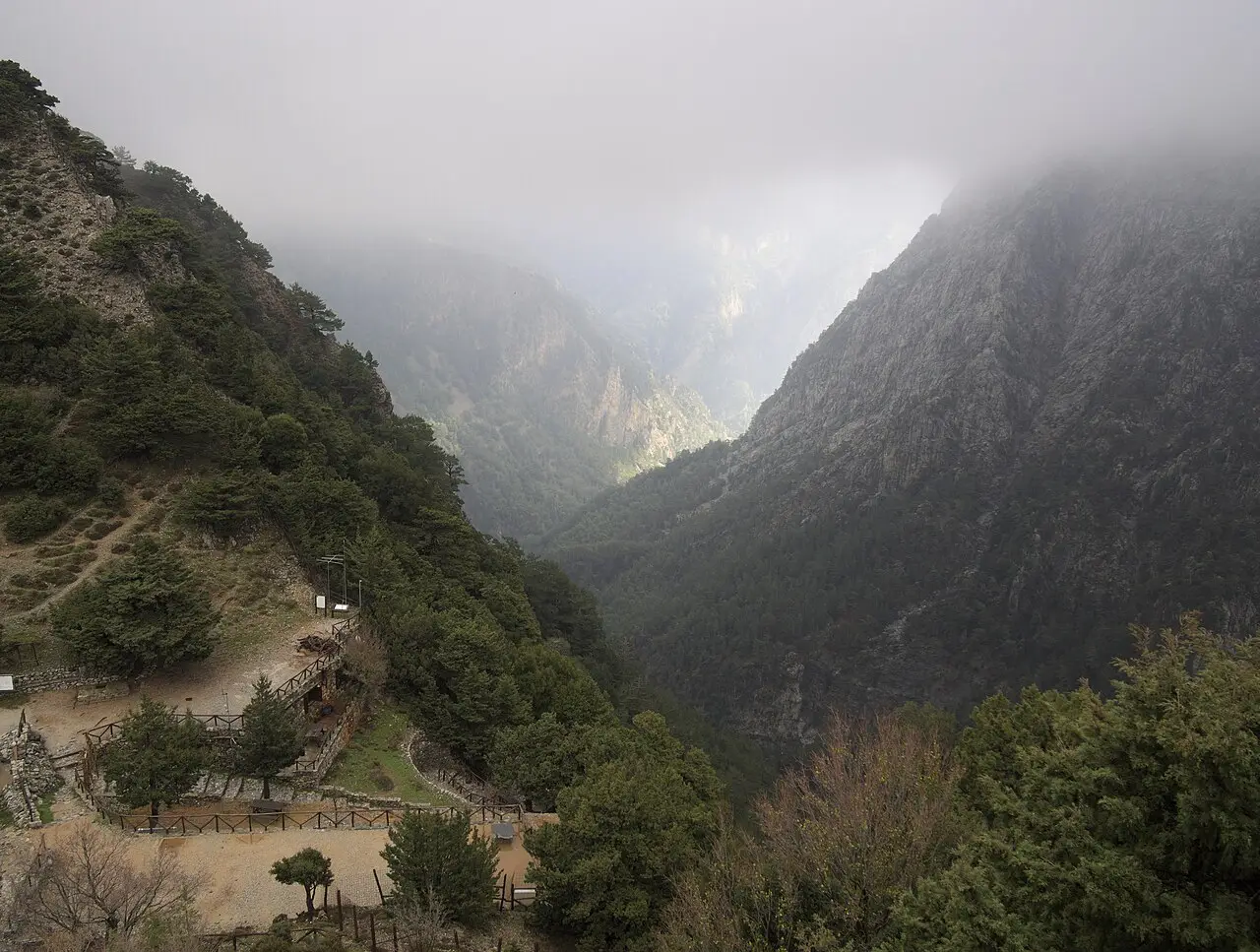
Samaria Gorge
Omalos, Greece
A 16 km descent from the Omalos plateau to the Libyan Sea, through the famous Iron Gates. Open roughly May to October; the return is by ferry to Sfakia and bus.
The Samaria Gorge is a hiking route of roughly 16 to 18 kilometres in Samaria National Park in the White Mountains of western Crete. The trail starts at Xyloskalo at about 1,200 metres on the Omalos plateau, begins with a steep descent and leads down to sea level. Allow four to eight hours; Lonely Planet gives six to seven.
The narrow section of the "Iron Gates" (Sideroportes) is only about three to four metres wide, with sheer walls. With luck you may see the kri-kri, the Cretan wild goat. The village of Samaria was evacuated in 1962, when the gorge became a national park. The trail ends at Agia Roumeli, reachable only on foot or by boat; ferries run from there to Loutro, Chora Sfakion, Sougia and Paleochora.
The gorge is open only in season: in 2026 it opened on 19 May, with free helmets at both entrances. It can be closed in bad weather. Check the end of the season and prices in advance (as of October 2026). Bring plenty of water and sturdy footwear.
- Nearest town
- Omalos, Greece
- Category
- Nature & parks
- GPS
- 35.3050, 23.9220
- Editor's pick
- ★
Hours, fees and access change. Confirm with the operator or park before you go.
Good to know
Best time to go
The most pleasant months are usually April–May and September–November. Still fine, with some compromises, in June, August and December–March. (Estimate from long-term temperature averages, terrain and pass seasons)
Getting there
- Greece: Motorway tolls. Motorway limit for cars: 130 km/h.
Sources
Featured in these trip guides

Nearby








Campsites nearby
- Place for tentsCampsite8 km from Samaria Gorge
- Place for tentsCampsite8 km from Samaria Gorge
- Camping Agia RoumeliCampsite9 km from Samaria GorgeTentsCaravansElectricityDrinking waterShowersToiletsFree
- Άγρια κατασκήνωσηCampsite12 km from Samaria GorgeTentsCaravansFree
- Camping PaleochoraCampsite22 km from Samaria Gorge
- Camping HaniaCampsite24 km from Samaria GorgeTentsCaravans
All campsites in Greece · Campsite data: © OpenStreetMap contributors, ODbL 1.0 · Updated October 3, 2026
FAQs
Where is Samaria Gorge?
Samaria Gorge is in Omalos, Greece, at GPS 35.3050, 23.9220. It is about 24 km from Palaiochora.
Can you camp near Samaria Gorge?
Yes. The nearest campsite listed in OpenStreetMap is Place for tents, about 8 km away; within 25 km there are 19 campsites and motorhome stopovers.
Which road trips pass Samaria Gorge?
Samaria Gorge is a stop on these CampingSpirit trip guides: Crete: Chania to Knossos.
What is there to see near Samaria Gorge?
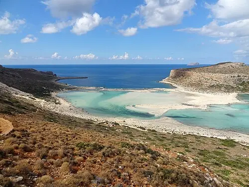
Places worth a stop nearby: Chania Old Town and Venetian Harbour (25 km), Elafonisi (35 km), Balos Lagoon (43 km) and Rethymno Old Town and Fortezza (50 km).
When is the best time to visit Samaria Gorge?
The most pleasant months are usually April–May and September–November. Still fine, with some compromises, in June, August and December–March. (Estimate from long-term temperature averages, terrain and pass seasons)