
Montségur
Montségur, France
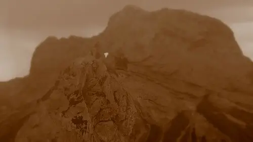
The ruined castle on a steep limestone peak where more than 200 Cathars were burned after the siege of 1244. The climb is short but steep and stony.
Montségur castle stands on a rocky spur known as the “pog”, at 1,207 m. From 1232 it was the seat of the Cathar church and a refuge for dispossessed nobles. In 1243 the Pope and the King of France decided to put an end to it; after a siege of about eleven months, more than 200 Cathars were burned on 16 March 1244. The structure visible today largely dates from the new fortress that the French king had built from the second half of the 13th century. Since July 2026 it has belonged to the UNESCO World Heritage property “Royal Fortresses of Languedoc” (as of October 2026).
In the village a museum displays finds from the castle hill. According to Routard the climb to the castle takes about 35 minutes and is fairly steep and stony; wear sturdy shoes and bring water, as there is neither water nor shade at the top. There is a free car park at the foot of the hill. Opening times vary with the season, so please check in advance (as of October 2026).
- Nearest town
- Montségur, France
- Category
- History & culture
- GPS
- 42.8757, 1.8323
- Editor's pick
- ★
Hours, fees and access change. Confirm with the operator or park before you go.
Good to know
Best time to go
The most pleasant months are usually May–June and August–September. Still fine, with some compromises, in April, July and October. (Estimate from long-term temperature averages, terrain and pass seasons)
Getting there
- France: Motorway tolls. Tolls on most autoroutes; the limit drops to 110 km/h in rain. Motorway limit for cars: 130 km/h.
Featured in these trip guides

 © H. Zell · CC BY-SA 3.0
Cathar castles of the Corbières

 © Serge Ottaviani · CC BY-SA 3.0
Rock amphitheatres, hairpin passes and Cathar castles – by motorhome through the French Pyrenees from Pau to Ax-les-Thermes

 © GarGre · Pixabay Content License
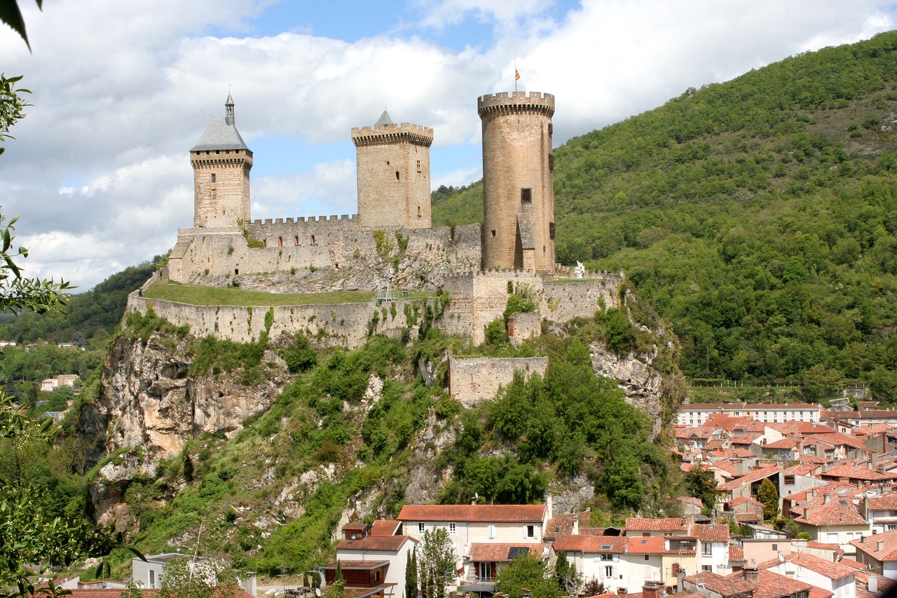
Castle crags, cave paintings and bear country – by camper through the Ariège and the Couserans from Mirepoix to Mas d’Azil
Nearby









Campsites nearby
- Les Chalets du LacCampsite12 km from MontségurTentsCaravansElectricityDrinking waterShowersToiletsWaste disposal
- Camping La MarmotteCampsite16 km from MontségurTentsCaravansElectricityDrinking waterShowersToiletsWaste disposal
- RoucateilleCampsite17 km from MontségurTentsCaravansMotorhomesElectricityDrinking waterShowersToiletsWaste disposalWi-Fi
- La ForgeCampsite18 km from MontségurTentsCaravansElectricityDrinking waterShowersToiletsWaste disposal
- Camping MillefleursCampsite18 km from Montségur · 38 pitchesTentsCaravansElectricityDrinking waterShowersToiletsWaste disposalDogs allowedWi-Fi
- Aire pour camping-cars station Ax 3 DomainesMotorhome stopover19 km from MontségurMotorhomesElectricityDrinking waterWaste disposalDogs allowedFree
All campsites in France · Campsite data: © OpenStreetMap contributors, ODbL 1.0 · Updated October 3, 2026
FAQs
Where is Montségur?
Montségur is in Montségur, France, at GPS 42.8757, 1.8323. It is about 17 km from Ax-les-Thermes.
Can you camp near Montségur?
Yes. The nearest campsite listed in OpenStreetMap is La Fount de Sicre, about 4 km away; within 25 km there are 57 campsites and motorhome stopovers.
Which road trips pass Montségur?
Montségur is a stop on these CampingSpirit trip guides: Cathar castles of the Corbières, Rock amphitheatres, hairpin passes and Cathar castles – by motorhome through the French Pyrenees from Pau to Ax-les-Thermes and Castle crags, cave paintings and bear country – by camper through the Ariège and the Couserans from Mirepoix to Mas d’Azil.
What is there to see near Montségur?
Places worth a stop nearby: Puilaurens castle (39 km), Pont Séjourné (50 km), Gorges de Galamus (52 km) and Cité de Carcassonne (57 km).
When is the best time to visit Montségur?
The most pleasant months are usually May–June and August–September. Still fine, with some compromises, in April, July and October. (Estimate from long-term temperature averages, terrain and pass seasons)