
Monemvasia
Monemvasia, Greece
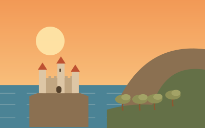
A medieval fortified town on a rock island linked to the mainland by a causeway, with stone lanes, small churches and ruins on the plateau above. Park at the causeway, walk in and wear sturdy shoes for the climb.
Monemvasia lies in Laconia on a rock that was separated from the mainland by an earthquake in AD 375 and is now joined to it only by a narrow causeway. In 1890 a small section of it was cut through to create a channel for ships. The name means roughly "single entrance". The settlement arose in the 6th century, when people from Laconia sought refuge here, and it is among the oldest continuously inhabited fortified towns in Europe.
The town is divided into the inhabited lower town on the southern slope and the upper town on the plateau at a height of about 100 m, which is uninhabited today. The Byzantine church of Hagia Sophia, dating from the 12th century, stands out there. In the Middle Ages, Malvasia wine was traded from here. Since the 1970s many houses have been converted into hotels and restaurants. Park before you reach the town and continue on foot; for the climb to the upper town you will need sturdy shoes.
- Nearest town
- Monemvasia, Greece
- Category
- History & culture
- GPS
- 36.6866, 23.0386
- Editor's pick
- ★
Hours, fees and access change. Confirm with the operator or park before you go.
Good to know
Best time to go
The most pleasant months are usually April–May and October–November. Still fine, with some compromises, in February–March, June, September and December. Hot in July–August. (Estimate from long-term temperature averages, terrain and pass seasons)
Getting there
- Greece: Motorway tolls. Motorway limit for cars: 130 km/h.
Featured in these trip guides

Nearby




Campsites nearby
- Motorhome stopover · MonemvasiaMotorhome stopover19 km from MonemvasiaMotorhomes
- Simos CampingCampsite24 km from MonemvasiaTentsCaravansElectricityShowersToiletsWaste disposalWi-Fi
- ΣίμοςMotorhome stopover25 km from MonemvasiaMotorhomes
All campsites in Greece · Campsite data: © OpenStreetMap contributors, ODbL 1.0 · Updated October 3, 2026
FAQs
Where is Monemvasia?
Monemvasia is in Monemvasia, Greece, at GPS 36.6866, 23.0386. It is about 43 km from Gythio.
Can you camp near Monemvasia?
Yes. The nearest campsite listed in OpenStreetMap is Simos Camping, about 24 km away; within 25 km there are 3 campsites and motorhome stopovers.
Which road trips pass Monemvasia?
Monemvasia is a stop on these CampingSpirit trip guides: Peloponnese south: Monemvasia, Sparta, Mystras and the Mani.
What is there to see near Monemvasia?
Places worth a stop nearby: Simos Beach, Elafonisos (26 km), Gythio and Mavrovouni Beach (43 km), Vathia Tower Village (55 km) and Diros Caves (59 km).
When is the best time to visit Monemvasia?
The most pleasant months are usually April–May and October–November. Still fine, with some compromises, in February–March, June, September and December. (Estimate from long-term temperature averages, terrain and pass seasons)