


In-depth guide · CampingSpirit
From Charleston via Edisto, Beaufort and Hunting Island to Savannah and on down the Georgia coast to St. Marys: around 700 kilometres of marshland, live oaks and barrier islands on the Atlantic.
The spirit of the route
The Lowcountry is flat, wet and green, and it moves to the rhythm of the tides. Twice a day the water runs into the creeks of the salt marsh, the spartina grass then stands knee-deep in the sea, and hours later mudflats lie exposed where herons and fiddler crabs go about their work. In between, roads run beneath live oaks hung with Spanish moss like grey curtain fabric. From the sliding door you see mist over the marsh grass in the morning, in the evening the water turns copper, and at night frogs and cicadas sing so loudly that you can barely hear the surf. The route links two old port cities with islands where lighthouses, dead forests on the beach and Gullah Geechee communities tell of history, storms and erosion. If you drive slowly, plan for sand fleas and heat and give the alligators their distance, you will experience one of the most distinctive coasts in the USA.
Stage-by-stage plan
1Stage 1: Charleston to Folly Beach (approx. 70 km)
- The drive
- From Charleston, first head north-west onto SC 61 (Ashley River Road): a narrow, two-lane avenue beneath old live oaks, with no shoulder and entrances to the plantations every few kilometres. The road is designated a Scenic Byway, the speed limit is mostly 45 mph; large motorhomes drive carefully here, because branches hang low and oncoming traffic gets tight. Back across the Ashley River and on SC 171 (Folly Road) across James Island to Folly Beach. Pure driving time around 1.5 hours; with a plantation and a city visit, a full day. Plenty of supermarkets and petrol stations in West Ashley and on James Island.
- Highlights & must-sees
- Ashley River Road: Drayton Hall (an unrestored 18th-century mansion managed by the National Trust), Magnolia Plantation and Gardens and Middleton Place, with the oldest landscaped gardens in the USA, lie side by side. All three now deal in detail with the history of the enslaved people whose labour the rice cultivation was built on. Check admission and opening hours on the houses’ websites; one plantation per day is enough.
- Historic Charleston: the Battery and White Point Garden, Rainbow Row on East Bay Street, the Charleston City Market and the church spires of the “Holy City” are best explored on foot. Fort Sumter National Monument can only be reached by boat (concessioner from Liberty Square or Patriots Point); book departures in advance.
- Morris Island Lighthouse: from the Lighthouse Inlet Heritage Preserve at the northern end of Folly Beach, a path of around 1 km leads to the beach, from which you can see the lighthouse, which due to erosion now stands free in the water. Most atmospheric at sunrise.
- CampingSpirit overnight tip
-
Official campsite or RV park: James Island County Park (Charleston County Parks): campground within the city area between Charleston and Folly Beach, pitches with full hook-ups (electricity, water, sewer), shower block, laundry, cycle paths and a dog park in the park. A shuttle into the city centre has been offered in the past; ask the park whether it runs in the 2026 season. Reservations through Charleston County Parks; in season and at weekends, book early. Folly Beach itself has no public campground.
Free camping or nature tip (where legal): In Charleston, Mount Pleasant and Folly Beach, sleeping in a vehicle on public streets and beach car parks is prohibited and enforced; there are no legal free camping spots in the greater area. If you arrive without a reservation, ask at the Charleston County Parks campgrounds or head for the Francis Marion National Forest north of the city, where camping is possible at designated sites; check the rules with the Forest Service beforehand.
- Insider tip for campers
- The multi-storey car park at the Charleston Visitor Center (63 Mary Street) keeps a small number of RV spaces on the ground floor; entry only via Mary Street, clearance 12 ft 8 in (3.86 m), first come, first served. Arrive early in the morning; otherwise the old town with its narrow one-way streets and horse carriages is hardly passable for large vehicles. Better to leave trailer rigs at the campground.
2Stage 2: Folly Beach to Edisto Beach (approx. 80 km)
- The drive
- From Folly Beach back onto James Island and via Maybank Highway (SC 700) and US 17 to SC 174, the Edisto Island National Scenic Byway. The last 30 km lead through marshland and oak avenues across Edisto Island to the Atlantic, two lanes, no shoulder, with wooden churches, vegetable stands and creek bridges. Pure driving time a good 1.5 hours. There are only a few petrol stations and one small supermarket on Edisto Island; shop beforehand in West Ashley or Ravenel.
- Highlights & must-sees
- Edisto Island Scenic Byway: SC 174 is one of the most beautiful oak avenues on the coast. The Presbyterian Church on Edisto Island and small wooden churches of the Gullah communities lie right by the road; stop for photos only on paved pull-outs, the verges are soft.
- Botany Bay Plantation Heritage Preserve: a gravel track beneath oaks to “Boneyard Beach”, where dead trees stand in the sand. Take nothing away, not even shells; open from one hour before sunrise to one hour after sunset, closed on Tuesdays and on additional hunting days (mainly September to December); check the calendar with the South Carolina Department of Natural Resources. Boneyard Beach can only be reached at low tide. The track is only partly suitable for long motorhomes.
- Edisto Beach State Park: the Spanish Mount Trail leads through maritime forest to a shell midden of the Indigenous population around 4,000 years old; the Environmental Learning Center presents the ecology of the ACE Basin.
- CampingSpirit overnight tip
-
Official campsite or RV park: Edisto Beach State Park: two camping areas, the Beach Campground directly behind the dunes by the sea and the Live Oak Campground beneath oaks by the marsh on the inland side. Pitches with water and electricity, shower block, dump station; check the length limit for each pitch when booking. Reservations through the South Carolina State Parks system; beach pitches are in high demand in spring and autumn.
Free camping or nature tip (where legal): There are no legal free camping spots on Edisto Island; the town of Edisto Beach does not allow overnight stays on streets and beach accesses. Botany Bay is open during the day only.
- Insider tip for campers
- At the Beach Campground there is often hardly a breath of wind on summer nights, and then the no-see-ums come: tiny biting midges that fit through normal insect screens. Fine-mesh netting on windows and door, a fan in the vehicle and long clothing in the evening. The Live Oak Campground is shadier but more humid; when it is windy, the beach is the better choice.
3Stage 3: Edisto Beach to Hunting Island State Park (approx. 145 km)
- The drive
- On SC 174 back to US 17, then south through the ACE Basin (Ashepoo, Combahee, Edisto) with endless marshes and old rice fields to US 21 to Beaufort. Beyond Beaufort, US 21 crosses Lady’s Island and St. Helena Island and ends at the barrier islands of Hunting and Fripp Island. Mostly two lanes, partly four lanes on US 17; pure driving time around 2 hours. Petrol stations and supermarkets in Beaufort and on Lady’s Island, only a few on St. Helena.
- Highlights & must-sees
- Beaufort: the old town on the Beaufort River with antebellum houses beneath oaks and the Henry C. Chambers Waterfront Park with swings by the water. The Visitor Center provides maps for a walk through the Point neighbourhood.
- Penn Center on St. Helena Island: one of the first schools for freed slaves (from 1862), today part of the Reconstruction Era National Historical Park and a centre of Gullah Geechee culture. Museum and grounds; check opening hours in advance.
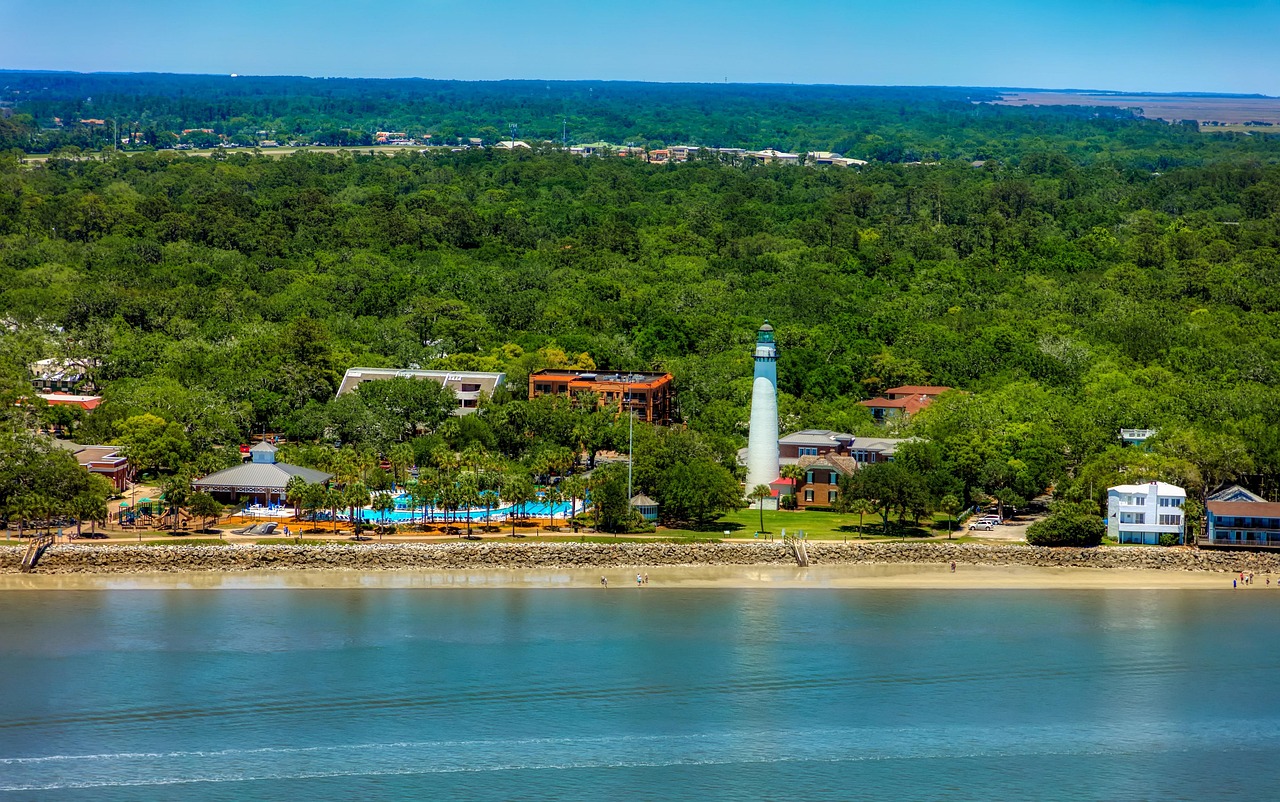
- Hunting Island Lighthouse: the lighthouse was moved inland as early as 1889 because of erosion, was closed for restoration from 2022 and reopened to visitors on 26 May 2026. From the tower you look out over maritime forest, lagoon and Atlantic; climbing costs a fee in addition to park admission, closed in severe weather; check times with South Carolina State Parks.
- CampingSpirit overnight tip
-
Official campsite or RV park: Hunting Island State Park Campground at the northern end of the island: pitches beneath palmettos and pines behind the dunes, with water and electricity, shower block, dump station. Because of Hurricane Matthew (2016), storm surges and erosion, the park has lost pitches that were not replaced and has redesigned areas; check available pitches and length limits when booking. Reservations through South Carolina State Parks, in spring months in advance.
Free camping or nature tip (where legal): There are no legal free camping spots on the islands around Beaufort; Hunting Island is closed to day visitors at night. If you can’t get a pitch, ask at the campgrounds around Beaufort and Port Royal.
- Insider tip for campers
- US 21 to Beaufort crosses the Woods Memorial swing bridge to Lady’s Island; when boats pass through, vehicles wait for a few minutes. On the beach at Hunting Island, dead trees stand in the water, and dangerous currents form between them at high tide. Alligators live in the lagoon: keep dogs on a short lead and don’t linger at the water’s edge.
4Stage 4: Hunting Island State Park to Savannah (approx. 100 km)
- The drive
- On US 21 back to Beaufort, then via SC 170 south-west through marsh and pine forest. Via US 17 and the Talmadge Memorial Bridge, a high cable-stayed bridge over the Savannah River, you reach Georgia and Savannah’s old town. In strong crosswinds, drive steadily on the bridge. Pure driving time around 1.5 hours. A further 25 km south to the campground on Skidaway Island.
- Highlights & must-sees
- Savannah Historic District: the grid with 22 green squares, Forsyth Park with its fountain, River Street with old cotton warehouses and the Cathedral of St. John the Baptist. Best on foot, by bike or by shuttle.
- Wormsloe State Historic Site: an avenue of live oaks more than two kilometres long leads to the ruins of the city’s oldest structure (18th-century tabby walls); the access road is passable for motorhomes, car park at the museum. Check admission with Georgia State Parks.
- Bonaventure Cemetery: a cemetery beneath mighty oaks on the Wilmington River, famous through photographs and literature; a quiet place for walks, the paths are narrow.
- CampingSpirit overnight tip
-
Official campsite or RV park: Skidaway Island State Park: campground beneath oaks and pines on Skidaway Island, pitches with water and electricity, some of them, according to campers, also with sewer hook-up (check when booking), shower block, dump station. Hiking trails and an observation tower over the salt marsh. Reservations through Georgia State Parks; in spring and autumn the campground is often fully booked.
Free camping or nature tip (where legal): In Savannah, sleeping in a vehicle on public streets is prohibited and enforced. There are no free camping spots in the greater area; private campgrounds along I-95 are the fallback.
- Insider tip for campers
- Never drive a motorhome into the squares of the old town: the streets circle each square in tight bends, and multi-storey car parks have height restrictions. The city car park at the Savannah Visitor Center (301 Martin Luther King Jr. Blvd.) has 14 RV spaces, open Monday to Saturday during the day, no overnight stays, sometimes closed during events; check fees in advance. From the campground you avoid parking altogether if you go into the city by bike or taxi.
5Stage 5: Savannah to Tybee Island (approx. 30 km)
- The drive
- East on the Islands Expressway and US 80, across Wilmington Island, Whitemarsh Island and through the marsh to Tybee Island. Two lanes with few overtaking opportunities; on summer weekends there are tailbacks. Pure driving time around 40 minutes. Petrol stations in Savannah and on Wilmington Island; on Tybee prices are higher.
- Highlights & must-sees
- Fort Pulaski National Monument on Cockspur Island on US 80: a brick fortress from 1847 whose walls were breached in 1862 by Union rifled cannon. Admission charged; check current amounts on nps.gov. The McQueens Island Trail on a former railway line runs parallel to the road through the marsh.
- Tybee Island Light Station: Georgia’s oldest and tallest lighthouse with 178 steps and a museum in the former Fort Screven; check opening hours.
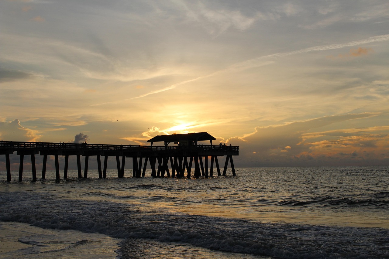
- North Beach and South End: at the northern tip you see container ships passing close by on their way to Savannah; at the southern end are the pier and Back River with sunsets over the marsh.
- CampingSpirit overnight tip
-
Official campsite or RV park: River’s End Campground & RV Park on Tybee Island: campground owned by the City of Tybee Island near North Beach, with hook-up pitches, shower block and laundry. Clarify vehicle lengths and reservations with the campground in advance; in spring and summer it books up quickly.
Free camping or nature tip (where legal): On Tybee Island, sleeping in vehicles outside the campground is prohibited; almost all car parks charge fees and are enforced. Free camping is not an option here.
- Insider tip for campers
- Paid parking via app or machine applies almost everywhere on Tybee; long vehicles are most likely to find space at North Beach, early in the morning. From the campground you can walk to the beach and the lighthouse. In a thunderstorm or strong east wind, plan your return: US 80 floods during storm surges.
6Stage 6: Tybee Island to Darien (approx. 140 km)
- The drive
- Back to Savannah and south on US 17 through pine forests, marshes and small towns such as Richmond Hill, Midway and Eulonia. US 17 is mostly two lanes and quieter than the parallel I-95, speed limit mostly 55 mph. Pure driving time around 2 hours. Darien lies at the mouth of the Altamaha River with a small harbour full of shrimp boats. Petrol stations in Richmond Hill, Midway and Darien.
- Highlights & must-sees
- Fort McAllister State Park near Richmond Hill: earthworks of a Confederate fort on the Ogeechee River, museum and paths through the marsh; a detour of around 15 km from US 17.
- Darien: Fort King George State Historic Site with a reconstructed blockhouse from 1721, the earliest British fort in present-day Georgia. In the harbour lie the shrimp boats that land Wild Georgia Shrimp.
- Sapelo Island: from the landing at Meridian (around 13 km north of Darien), the state ferry runs to the island with its lighthouse, the R. J. Reynolds Mansion and the Geechee community of Hog Hammock. The ferry requires a reservation; without an invitation from an island resident, you can only get onto the island with a guided tour, booked in advance at the Sapelo Island Visitor Center in Meridian. Visitors travel as foot passengers; their vehicle stays at the Visitor Center.
- CampingSpirit overnight tip
-
Official campsite or RV park: Fort McAllister State Park: campground on an island in the marshland beneath oaks and palmettos, pitches with water and electricity, shower block, dump station; reservations through Georgia State Parks. As an alternative, around 20 km west of Darien lies Altamaha Regional Park (Glynn County) near Everett on the Altamaha River, with basic camping; ask about facilities and lengths in advance.
Free camping or nature tip (where legal): There are no designated free camping spots in McIntosh County. In the State of Georgia’s Wildlife Management Areas, camping is only allowed at designated sites and with the relevant licences; check the rules with the Georgia DNR. Do not sleep at Darien harbour.
- Insider tip for campers
- The ferry to Sapelo departs only a few times a day; if you book the first departure, start nearby the evening before. Parking is at the Visitor Center in Meridian; space is limited, so ask in advance for large motorhomes. In the evening in Darien, buy fresh shrimp straight from the boat or in the shops by the water.
7Stage 7: Darien to Jekyll Island (approx. 75 km)
- The drive
- South on US 17 across the Altamaha River, past old rice fields, to Brunswick. Via the F. J. Torras Causeway (toll-free) to St. Simons Island and back, then over the Sidney Lanier Bridge and the Jekyll Island Causeway onto the island. Two lanes, quiet, narrow in the centre of St. Simons. Pure driving time around 1.5 hours. Petrol stations and supermarkets in Brunswick and on St. Simons, only a small selection on Jekyll.
- Highlights & must-sees
- Hofwyl-Broadfield Plantation State Historic Site on US 17: one of the last surviving rice plantations in Georgia, with a museum and a path to the old fields in the marsh.
- St. Simons Island: Fort Frederica National Monument with the foundations of the British town of 1736, Christ Church Frederica beneath oaks and the St. Simons lighthouse with a museum in the Village. Parking in the Village is scarce for large vehicles.
- Jekyll Island: Driftwood Beach at the northern end with dead oaks in the sand, the Historic District of the former Jekyll Island Club and the Georgia Sea Turtle Center, which cares for injured sea turtles.
- CampingSpirit overnight tip
-
Official campsite or RV park: Jekyll Island Campground at the northern end of the island, run by the Jekyll Island Authority: pitches in the maritime forest with full hook-ups (water, sewer, 30/50 A electricity) and some basic tent sites with water only, shower block, laundry, small shop, bike hire. Driftwood Beach is just under 1 km away on foot. Reservations online through the Jekyll Island Authority (Campspot booking system), maximum 14 nights; book early in spring and autumn. There is no public campground on St. Simons Island; as an alternative on the mainland, Blythe Island Regional Park (Glynn County) near Brunswick.
Free camping or nature tip (where legal): Free camping is not allowed on St. Simons and Jekyll; on Jekyll, sleeping in public car parks is expressly prohibited.
- Insider tip for campers
- For Jekyll Island a parking fee is due at the entrance, also for campground guests, charged per night on the island (the day of departure is free). As of 2026: 10 USD per day, vehicles over 8 ft (2.44 m) 15 USD, 5 USD more on event days; annual pass 100 or 150 USD, tied to one licence plate. Around 30 km of cycle paths run around the coast of the island; the motorhome is best left parked.
8Stage 8: Jekyll Island to St. Marys (approx. 75 km)
- The drive
- Back to the mainland and south on I-95 or the quieter US 17 to Kingsland, then east on GA 40 to St. Marys on the St. Marys River, opposite Florida. Pure driving time around 1 hour. Petrol stations and supermarkets in Kingsland and St. Marys. The town with its small harbour is the starting point for Cumberland Island.
- Highlights & must-sees
- Cumberland Island National Seashore: the ferry from the landing in St. Marys takes only foot passengers to the island, no vehicles; reserve places in advance, in spring and at weekends they go quickly. Admission for the National Seashore; check current amounts on nps.gov. On the island: the ruins of Dungeness, wild horses, maritime forest and a deserted beach around 28 km long.
- St. Marys Waterfront: a small park on the river with views over the marsh, the Cumberland Island Museum and historic houses on Osborne Street.
- Crooked River State Park: the tabby ruins of the McIntosh Sugar Works from the early 19th century lie along the access road; from the park, paths lead through maritime forest and marsh.
- CampingSpirit overnight tip
-
Official campsite or RV park: Crooked River State Park north of St. Marys: pitches beneath oaks with water and electricity, shower block, dump station, boat ramp on the Crooked River. Reservations through Georgia State Parks. If you want to stay overnight on Cumberland Island, the Sea Camp Campground and the backcountry sites offer only tent and walk-in pitches; reservations through Recreation.gov.
Free camping or nature tip (where legal): There are no legal free camping spots in Camden County and St. Marys; overnight stays at the ferry landing are not permitted.
- Insider tip for campers
- The ferry to Cumberland takes foot passengers only; bikes can be hired on the island, availability is limited. Take water, food, sun and insect protection with you, as there are hardly any supplies on the island. The motorhome stays in the car park in St. Marys or at the campground; ask about parking rules for long vehicles at the landing.
Camping practice & local rules
Wild camping & overnight parking
- Free camping is practically not allowed on the coast of South Carolina and Georgia: towns such as Charleston, Folly Beach, Savannah and Tybee Island prohibit sleeping in vehicles on public streets and in car parks; beach car parks are checked at night, and fines and towing are possible.
- Alternatives: state park campgrounds, county parks (Charleston County Parks, Glynn County) and the Jekyll Island Authority. In the Francis Marion National Forest north of Charleston, camping is only possible at designated sites; check the rules with the Forest Service.
- Overnight stays in supermarket or service area car parks depend on the store and the municipality and are mostly not permitted on the coast; if in doubt, ask in the store. At I-95 rest areas in Georgia and South Carolina, a short rest is allowed, camping is not.
- Wildlife: alligators live in ponds, lagoons and ditches on all the islands, including on campgrounds; feeding them is prohibited in South Carolina and Georgia. Keep your distance, don’t let dogs near the water’s edge, and don’t walk close to the water after dusk. Add to that fire ants, ticks and venomous snakes in the undergrowth.
- Sea turtles: from May to October, loggerhead turtles nest on the beaches; no light towards the beach at night, fill in holes and clear away beach furniture in the evening.
- Apps and websites: iOverlander, Campendium, The Dyrt, plus the reservation systems of South Carolina State Parks, Georgia State Parks and Recreation.gov.
Waste disposal & supplies
- Dump stations are available at the state park campgrounds (Edisto Beach, Hunting Island, Skidaway Island, Fort McAllister, Crooked River) and at the county campgrounds; some are also open to passing travellers for a fee, ask in advance.
- Tap water in the towns is generally drinkable but often tastes of chlorine or sulphur; check well water on the islands beforehand.
- Do not drain grey water onto the ground or into the marsh; empty chemical toilets only at dump stations.
- Propane: dealers such as hardware stores, farm supply stores and some petrol stations fill US cylinders; European cylinders are usually not filled.
- Fuel: petrol stations in Charleston, Beaufort, Savannah, Brunswick and Kingsland; on the islands (Edisto, Hunting, Tybee, Jekyll) few and more expensive.
- Electricity: pitches offer 30 or 50 A; in high summer the air conditioning runs almost constantly, and on pitches without electricity, generator hours must be observed.
Vehicle size & traffic rules
- Speed limits in mph: interstates in both states mostly 70, in cities 55–65; two-lane highways mostly 55; through towns 25–45. Ashley River Road and SC 174 are narrow; drive slowly.
- Tolls: there are no road tolls on the route described; Jekyll Island charges a daily parking fee for every vehicle (as of 2026: 10 USD, over 8 ft 15 USD).
- Dimensions: the legal maximum height in the USA is mostly 13 ft 6 in (4.11 m); multi-storey car parks in Charleston and Savannah are lower, and the Visitor Center car park in Charleston has 12 ft 8 in (3.86 m).
- Traffic law: turning right on red after a complete stop is allowed, except where a sign prohibits it; open alcohol containers in the vehicle are prohibited. In Georgia, and since 1 September 2025 also in South Carolina, hands-free laws apply that prohibit holding a phone while driving; in South Carolina fines have been issued since the end of February 2026. Move Over law: change lanes or slow down for emergency vehicles at the roadside.
- Reservations: South Carolina State Parks and Georgia State Parks have their own online booking systems; in both states, campsites can be booked up to 13 months in advance (Georgia residents 14 months). The popular coastal campgrounds (Hunting Island, Edisto Beach, Skidaway Island, plus the Jekyll Island Campground with its own system) are booked months in advance in spring and autumn. Check length limits for each pitch when booking; park admission in South Carolina or the ParkPass in Georgia is added to the pitch fee.
- Hurricane season: officially 1 June to 30 November, peak August to October. When warnings are issued, the authorities order evacuations of the islands; the Hurricane Evacuation Route signs show the exit routes. State parks then close immediately. Read the National Hurricane Center forecasts daily.
- Weather: summer hot and humid (30–35 °C) with afternoon thunderstorms; spring and autumn pleasant. Sand fleas and no-see-ums are most annoying when there is no wind, at dusk and near the marsh; mosquitoes everywhere in summer.
- Emergency: 911; mobile reception is patchy in places on Edisto, Hunting Island and Cumberland Island.
CampingSpirit packing & preparation checklist
- Fine-mesh no-see-um nets for windows and door, plus picaridin spray: normal insect screens don’t keep out the biting midges of the marsh.
- A fan with a 12 V connection or battery: on humid nights, moving air does more than air conditioning against insects and heat.
- Tide tables and offline maps: beaches, creeks and boneyard beaches are partly impassable at high tide, and mobile reception on the islands is patchy.
- Folding bikes or a bike rack: Charleston, Savannah, Jekyll and Cumberland are best explored by bike, without hunting for parking.
- Sun protection, a linen hat and light long clothing: protection from sun and insects at the same time, including on the ferry to Cumberland.
- A weather radio or alert app with hurricane warnings, and a copy of all reservations (campgrounds, ferries, tours) in case of an evacuation.
As of 2026-09. Closures, fees and booking rules change: check official sources before you go.