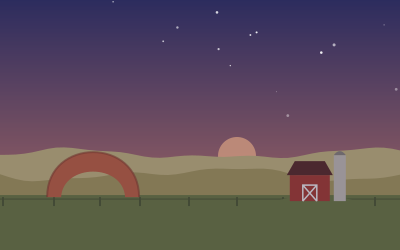
Nebraska Sandhills on Highway 2
Across the grass-covered dunes of the Sandhills on one of America’s emptiest two-lane roads, from Grand Island to Carhenge.
- Distance
- 503 km (312 mi)
- Driving
- 5 h 35 min
- Suggested days
- 3
- Stops
- 7
- States
- NE
- Updated
- May 19, 2026
At a glance: 3-day road trip of about 503 km (312 mi) with 7 stops, from Grand Island to Carhenge. About 5 h 35 min of driving in total.
Route description
Begin in Grand Island; in March the nearby Platte River hosts hundreds of thousands of sandhill cranes, one of the great wildlife events in North America. NE-2 heads north-west through Broken Bow, the last sizable town for a while.
Beyond Broken Bow the farmland gives way to the Sandhills, the largest area of sand dunes in the Western Hemisphere, held in place by prairie grass. The road follows a busy railroad line, so expect to race long coal trains through the empty hills.
At Halsey, the Bessey District of the Nebraska National Forest is the largest hand-planted forest in the country; drive up to the Scott Lookout Tower and camp under the pines. West of here, Mullen and Hyannis are small ranching towns with little more than fuel and a café.
Fill up whenever you can: gaps between gas stations are long. At Alliance, finish at Carhenge, a replica of Stonehenge made of gray-painted cars. Late spring and early fall are best; winter storms can close the road.
Stop-by-stop itinerary
In driving order. Distances are estimates between consecutive stops.
- 1Start
Grand Island
NE - 2145 km
Broken Bow
NE - 393 km
Nebraska National Forest, Bessey District
NatureHalsey, NEThe largest hand-planted forest in the US, started in 1902 to prove trees could grow in the Sandhills. Climb the Scott Lookout Tower for a view of pines against the dunes.
- 477 km
Mullen
NE - 571 km
Hyannis
NE - 6111 km
Alliance
NE - 76 km
Carhenge
OdditiesAlliance, NEStonehenge rebuilt from 39 gray-painted vintage cars, standing in a field in the Nebraska Sandhills.