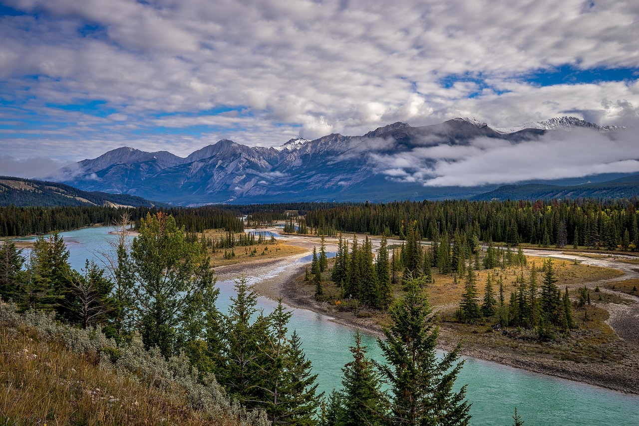
Up the Mississippi to its source at Lake Itasca
From Minnehaha Falls in Minneapolis through Lindbergh’s Little Falls and the lake country of Brainerd to the Mississippi headwaters and Bemidji.
- Distance
- approx. 435 km (271 mi)
- Driving
- 4 h 50 min
- Suggested days
- 3
- Stops
- 7
- States
- MN
- Best time to go
- May–June and September
- Tolls and vignettes
- None expected
- Updated
- July 3, 2026
At a glance: 3-day road trip of about 435 km (271 mi) with 7 stops, from Minneapolis to Bemidji. About 4 h 50 min of driving in total. Best time to go: May–June and September. No toll roads expected for a car.
More road trips in Minnesota
Photos along the route


Route description
Begin at Minnehaha Falls in south Minneapolis, a short drive from downtown, where the creek drops into a glen before meeting the Mississippi. Then head north on US-10, following the river through St. Cloud to Little Falls, about 2 hours from the Twin Cities. The Charles A. Lindbergh Historic Site is on the river just south of town, next to a state park with a campground.
Continue north on MN-371 to Brainerd, gateway to a region of hundreds of lakes, cabins and resorts. The Paul Bunyan State Trail, a paved bike path, runs north from Brainerd for about 190 km through forest and lake towns. The Cuyuna Country State Recreation Area nearby has mountain bike trails around old iron mine pits filled with clear water.
From Brainerd take MN-210 and MN-87 or MN-371 and MN-200 north-west to Itasca State Park, about 2 hours 30 minutes away. At the north end of Lake Itasca, walk across the young Mississippi on stepping stones. The park has two campgrounds, a lodge and bike rentals; the 16 km Wilderness Drive is one-way and narrow, and not suitable for big RVs.
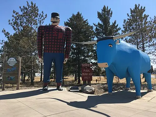
Bemidji lies about 50 km north-east of Itasca on US-71. On the lakefront by the tourist information center stand the famous statues of Paul Bunyan and Babe the Blue Ox. The town has an easy lakeside walk and is a good place to stock up before heading farther north. The best season is June to September; in winter this is snowmobile and ice-fishing country.
Which stops are on Up the Mississippi to its source at Lake Itasca?
In driving order. Distances are estimates between consecutive stops.
- 1Start
Minneapolis
MN - 210 km
Minnehaha Falls
NatureMinneapolis, MNA 16 m waterfall in a city park near the Mississippi, made famous by Longfellow’s The Song of Hiawatha. Paid parking lots fill on summer weekends; stairs lead down to the creek below the falls.
- 3178 km
Charles A. Lindbergh Historic Site
HistoryLittle Falls, MNThe boyhood farmhouse of the aviator on the banks of the Mississippi, with the family’s original furniture and a museum on his 1927 transatlantic flight. Open in summer; next to Charles A. Lindbergh State Park.
- 456 km
Brainerd
MN - 5149 km
Mississippi Headwaters, Itasca State Park
NaturePark Rapids, MNAt Lake Itasca you can walk across the Mississippi River on stepping stones where it leaves the lake. The park, Minnesota’s oldest, also has old-growth red pines and a scenic Wilderness Drive; a vehicle permit is required.
- 643 km
Paul Bunyan & Babe the Blue Ox
OdditiesBemidji, MNLakeside statues from 1937 of the giant lumberjack and his ox. They are some of the most photographed in the Midwest.
- 70 km
Bemidji
MN
How do you drive Up the Mississippi to its source at Lake Itasca in 3 days?
3 days, split by driving time. Campsites from OpenStreetMap: check opening dates before you go.
- Day 1: Minneapolis → Charles A. Lindbergh Historic Site · 117 mi · 2 h 05 minOn the way: Minnehaha Falls.Overnight nearby, for example: Cedar Lake Memorial Park Campground (15 mi); Charles A Lindbergh State Park (< 1 km).
- Day 2: Charles A. Lindbergh Historic Site → Brainerd · 35 mi · 0 h 37 minOvernight nearby, for example: Lum Park Campground (2 mi); Rock Lake Campground (14 mi).
- Day 3: Brainerd → Bemidji · 120 mi · 2 h 08 minOn the way: Mississippi Headwaters, Itasca State Park, Paul Bunyan & Babe the Blue Ox.Overnight nearby, for example: La Salle Lake State Recreation Area Campground (16 mi); Lake Bemidji State Park Campground (5 mi).
When is the best time for Up the Mississippi to its source at Lake Itasca?
The most pleasant months are usually May–June and September. Still fine, with some compromises, in July–August. Cold, short days in November–March. July and August are the busiest months: book campsites early.
Estimate from long-term temperature averages, terrain and pass seasons
More routes for the best months
Practical guides for this route

 Photo by Malivez on Unsplash
Driving in the US: The Rules European Visitors Most Often Get Wrong at the Wheel

 Photo by Aleksandr Dalakian on Unsplash
Fuel, Tolls and Distances: Practical US Driving Math for Motorhome and Camper Travelers

 Photo by Tracy Zhang on Unsplash
US national parks: entry fees, passes and reservations in plain terms
Themes
Plan this route for your vehicle
Scout adapts this route to your vehicle, your days and your budget.
FAQs
How long is Up the Mississippi to its source at Lake Itasca?
3-day road trip of about 435 km (271 mi) with 7 stops, from Minneapolis to Bemidji. About 4 h 50 min of driving in total.
How many days do you need for Up the Mississippi to its source at Lake Itasca?
We suggest 3 days: about 4 h 50 min of driving, which leaves time for the stops.
Where does Up the Mississippi to its source at Lake Itasca start and end?
It starts in Minneapolis and ends in Bemidji.
Which states does Up the Mississippi to its source at Lake Itasca pass through?
Minnesota.
Where can you camp along Up the Mississippi to its source at Lake Itasca?
OpenStreetMap lists 61 campsites and motorhome stopovers within 19 mi of the stops on this route. For example: Lebanon Hills Campground East Loop, La Salle Lake State Recreation Area Campground and Cedar Lake Memorial Park Campground.