
Black Sands Beach
Shelter Cove, CA
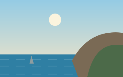
Dark sand and surf below the King Range, the southern end of the Lost Coast Trail. The waves are dangerous; admire them from dry sand.
Black Sands Beach lies below Shelter Cove in the King Range National Conservation Area, which covers about 70,000 acres (roughly 280 km², or 110 square miles). The dark beach is the southern end of the northern section of the Lost Coast Trail, which runs 40 km (24.6 miles) from Mattole. For day visitors it is a beach destination; plan on about four hours.
To get there, take exit 642 off Highway 101 and follow a winding road down to Shelter Cove, then turn onto Beach Road. There are restrooms at the beach, and temperatures are usually 10 to 13 °C (50 to 55°F), so dress in layers. If you want to camp on the trail, you need a backcountry permit; camping is not allowed at the Black Sands Beach parking area itself. Check the tides before hiking along the coast: beyond Gitchell Creek the route is impassable at high tide.
- Nearest town
- Shelter Cove, CA
- Category
- Nature & parks
- GPS
- 40.0469, -124.0784
Hours, fees and access change. Confirm with the operator or park before you go.
Good to know
Best time to go
The most pleasant months are usually June–July and September. Still fine, with some compromises, in April–May, August and October–November. (Estimate from long-term temperature averages, terrain and pass seasons)
Sources
Featured in these trip guides

Nearby





Campsites nearby
- KOA BenbowMotorhome stopover15 mi from Black Sands BeachMotorhomesElectricityWaste disposalWi-Fi
- Hidden Springs CampgroundCampsite19 mi from Black Sands Beach · 137 pitchesTentsCaravansShowersToiletsDogs allowed
- Cuneo Creek Horse CampCampsite20 mi from Black Sands BeachDrinking waterShowersToiletsDogs allowed
- Hike-Bike CampCampsite20 mi from Black Sands Beach · 3 pitchesTentsDrinking waterShowersToiletsDogs allowed
- Burlington CampgroundCampsite20 mi from Black Sands Beach · 54 pitchesTentsCaravansShowersToiletsDogs allowed
- Albee Creek CampgroundCampsite21 mi from Black Sands Beach · 40 pitchesTentsCaravansDrinking waterShowersToiletsDogs allowed
All campsites in California · Campsite data: © OpenStreetMap contributors, ODbL 1.0 · Updated October 3, 2026
FAQs
Where is Black Sands Beach?
Black Sands Beach is in Shelter Cove, CA, at GPS 40.0469, -124.0784. It is about 14 mi from Honeydew.
Can you camp near Black Sands Beach?
Yes. The nearest campsite listed in OpenStreetMap is Shelter Cove RV Park and Campground, about 2 mi away; within 25 mi there are 45 campsites and motorhome stopovers.
Which road trips pass Black Sands Beach?
Black Sands Beach is a stop on these CampingSpirit trip guides: The Lost Coast and Shelter Cove.
What is there to see near Black Sands Beach?
Places worth a stop nearby: Avenue of the Giants (19 mi), Punta Gorda Lighthouse (20 mi), Glass Beach (43 mi) and Mendocino Village (53 mi).
When is the best time to visit Black Sands Beach?
The most pleasant months are usually June–July and September. Still fine, with some compromises, in April–May, August and October–November. (Estimate from long-term temperature averages, terrain and pass seasons)