
Côte Sauvage of Quiberon
Quiberon, France
The Atlantic side of the Quiberon peninsula: arches, coves and cliffs along a road with many parking spots. Swimming is forbidden here because of dangerous currents.
The Côte Sauvage runs for about 8 km along the west side of the Quiberon peninsula, from the Château Turpault to the Pointe du Percho, and belongs to the Conservatoire du littoral. The surf has carved bays, reefs, caves and rock arches, many of them best seen at low tide. One arch lies on the beach at Port Blanc, a cave at Port Bara. There are several car parks along the coast road, and a coastal path leads, among other places, to the Trou du Souffleur, Port Bara and Port Blanc as far as the Pointe du Percho, where the remains of a customs post stand.
The few beaches are not suitable for swimming because of the strong undertow, so please refrain. Check the tides before you visit if you want to see the caves and arches, and expect wind and spray even in calm weather. Access is free.
- Nearest town
- Quiberon, France
- Category
- Nature & parks
- GPS
- 47.4980, -3.1450
Hours, fees and access change. Confirm with the operator or park before you go.
Good to know
Best time to go
The most pleasant months are usually May–September. Still fine, with some compromises, in April and October. (Estimate from long-term temperature averages, terrain and pass seasons)
Getting there
- France: Motorway tolls. Tolls on most autoroutes; the limit drops to 110 km/h in rain. Motorway limit for cars: 130 km/h.
Sources
Featured in these trip guides

Nearby





Campsites nearby
- Camping municipal du RohuCampsite2 km from Côte Sauvage of QuiberonTentsCaravansElectricityDrinking waterShowersToiletsWaste disposal
- Camping municipal du GoviroCampsite4 km from Côte Sauvage of QuiberonTentsCaravansElectricityDrinking waterShowersToiletsWaste disposal
- Camping municipal de PenthièvreCampsite7 km from Côte Sauvage of QuiberonTentsCaravansElectricityDrinking waterShowersToiletsWaste disposal
- Camping KerzerhoCampsite15 km from Côte Sauvage of QuiberonTentsCaravansElectricityDrinking waterShowersToilets
- Camping de Saint-PierreCampsite15 km from Côte Sauvage of QuiberonTentsCaravansElectricityDrinking waterShowersToiletsWaste disposal
- Camping municipal Le TindioCampsite21 km from Côte Sauvage of Quiberon · 172 pitchesTentsCaravansElectricityDrinking waterShowersToilets
All campsites in France · Campsite data: © OpenStreetMap contributors, ODbL 1.0 · Updated October 3, 2026
FAQs
Where is Côte Sauvage of Quiberon?
Côte Sauvage of Quiberon is in Quiberon, France, at GPS 47.4980, -3.1450. It is about 11 km from Carnac.
Can you camp near Côte Sauvage of Quiberon?
Yes. The nearest campsite listed in OpenStreetMap is Camping municipal de Kerné, about 1 km away; within 25 km there are 107 campsites and motorhome stopovers.
Which road trips pass Côte Sauvage of Quiberon?
Côte Sauvage of Quiberon is a stop on these CampingSpirit trip guides: South Brittany: menhirs and the Gulf of Morbihan.
What is there to see near Côte Sauvage of Quiberon?
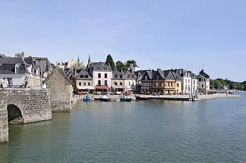
Places worth a stop nearby: Carnac alignments (12 km), Port of Saint-Goustan (22 km), Guérande salt marshes (55 km) and Kerhinet (62 km).
When is the best time to visit Côte Sauvage of Quiberon?
The most pleasant months are usually May–September. Still fine, with some compromises, in April and October. (Estimate from long-term temperature averages, terrain and pass seasons)