 📷 NPS Photo, Public domain
Buffalo Point
Yellville, AR
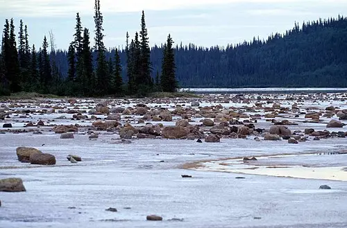
The lower district of the Buffalo National River, with high bluffs, gravel bars for swimming and floating, and trails to Indian Rockhouse cave. Reached off AR-14 south of Yellville.
Buffalo Point is a visitor area in the Lower District of Buffalo National River in the Arkansas Ozarks, near Yellville. It sits at the end of a river bend between Dillards Ferry and Rush; just past Buffalo Point the river reaches the Lower Buffalo Wilderness. The Buffalo Point Ranger Station serves as the contact point; there are campgrounds, drinking water, river access and an interpretive trail.
The best-known destination is the Indian Rockhouse Trail: 3.5 miles (about 5.6 km) round trip, planned at 3 to 5 hours and rated moderate to strenuous, with steep ups and downs. Along the way you pass a sinkhole, a waterfall, Panther Creek and an old quarry.
The goal is a rock overhang, a large rock shelter that lets in sunlight and has been used since about 7000 BC. The trailhead lies about half a mile (roughly 800 m) east of the ranger station. The trail is accessible year-round; dogs are not allowed. Check with the National Park Service in advance for current closures (for example after storms or because of prescribed burns).
- Nearest town
- Yellville, AR
- Category
- Nature & parks
- GPS
- 36.0775, -92.5647
Hours, fees and access change. Confirm with the operator or park before you go.
Good to know
Best time to go
The most pleasant months are usually April–May and October. Still fine, with some compromises, in June, September and November. Hot in July–August. (Estimate from long-term temperature averages, terrain and pass seasons)
Sources
Featured in these trip guides


Nearby







Campsites nearby
- Buffalo Point Campground - Loop ECampsite0 mi from Buffalo Point · 7 pitchesTentsCaravans
- Buffalo Point Campground - Loop DCampsite0 mi from Buffalo Point · 22 pitchesTentsCaravans
- Buffalo Point Campground - Loop CCampsite0 mi from Buffalo Point · 16 pitchesTentsCaravans
- Buffalo Point Campground - Loop BCampsite1 mi from Buffalo Point · 16 pitchesTentsCaravans
- Buffalo Point Campground - Loop ACampsite1 mi from Buffalo Point · 22 pitchesTentsCaravans
- Upper Campground LoopCampsite23 mi from Buffalo PointTentsCaravans
All campsites in Arkansas · Campsite data: © OpenStreetMap contributors, ODbL 1.0 · Updated October 3, 2026
FAQs
Where is Buffalo Point?
Buffalo Point is in Yellville, AR, at GPS 36.0775, -92.5647. It is about 29 mi from Mountain View.
Can you camp near Buffalo Point?
Yes. The nearest campsite listed in OpenStreetMap is Buffalo Point Campground - Loop E, about 0 mi away; within 25 mi there are 18 campsites and motorhome stopovers.
Which road trips pass Buffalo Point?
Buffalo Point is a stop on these CampingSpirit trip guides: Arkansas folk music, caverns and the Buffalo River.
What is there to see near Buffalo Point?
Places worth a stop nearby: Blanchard Springs Caverns (23 mi), Ozark Folk Center State Park (28 mi), Buffalo National River (44 mi) and Mammoth Spring State Park (64 mi).
When is the best time to visit Buffalo Point?
The most pleasant months are usually April–May and October. Still fine, with some compromises, in June, September and November. (Estimate from long-term temperature averages, terrain and pass seasons)