



In-depth guide · CampingSpirit
From Salt Lake City via Antelope Island, the Bear River bird marshes, Golden Spike and the Spiral Jetty to the white expanse of Bonneville and on to Wendover on the Nevada border: around 800 kilometres of salt water, railway history and emptiness.
The spirit of the route
The Great Salt Lake is a lake that refuses to commit. Sometimes its shore lies right beside the road, sometimes miles out beyond white crusts, and depending on the wind it smells of the sea or of rotten eggs. The route follows it in an arc: across the long causeway to Antelope Island, where bison graze among the sagebrush and the islands to the west turn pink in the evening, through marshes where tens of thousands of birds rest in autumn, to the hill where two railways met in 1869. Beyond that it goes quiet – a gravel track to the Spiral Jetty, basalt boulders in reddish water. At the end you roll out on the I-80 into the salt desert, where the horizon blurs. From the sliding door you see nothing but white, sky and the Silver Island Mountains – and you know the salt will have to come off the underbody later.
Stage-by-stage plan
1Stage 1: Salt Lake City to Antelope Island State Park (approx. 75 km)
- The drive
- A short morning downtown, then north on the I-15 through the densely built-up Wasatch Front to exit 332 (Layton/Syracuse) and west on Antelope Drive through Syracuse. Beyond the fee station begins the causeway, around 11 kilometres (7 miles) long, across the shallow lake water to the island – straight, exposed to wind, with no lay-bys apart from a few parking areas. Pure driving time about 1 to 1.5 hours, considerably more on the I-15 at rush hour. On the island a paved road runs along the east side to the Fielding Garr Ranch; the campgrounds are in the north at Bridger Bay.
- Highlights & must-sees
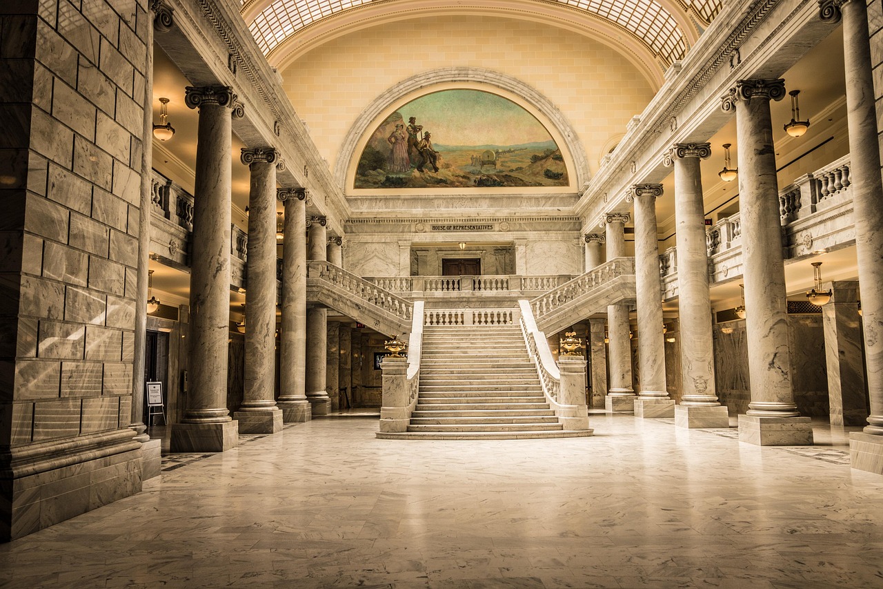
- Temple Square and the Utah State Capitol in Salt Lake City: the centre of The Church of Jesus Christ of Latter-day Saints, with the Tabernacle and gardens; the Salt Lake Temple itself has been undergoing a major renovation for years, so check access and construction fencing beforehand. The Capitol on Capitol Hill offers free tours and a view over the Salt Lake Valley. Parking for motorhomes is scarce downtown and multi-storey car parks have height limits – better to park at the Capitol or on the edge of the centre.
- Antelope Island: The largest island in the lake is home to a bison herd of several hundred animals, plus pronghorn, mule deer and bighorn sheep. The short climb to Buffalo Point above Bridger Bay shows the full expanse of the lake at sunset; in autumn the bison are rounded up and given veterinary checks.
- Fielding Garr Ranch on the south-east side of the island: 19th-century ranch buildings, worked for decades, with sheds, a corral and shady trees – a quiet place for a lunch break.
- CampingSpirit overnight tip
-
Official campsite or RV park: Bridger Bay Campground in the north of the island: around 60 sites in two loops, with water and electric hook-ups in the upper loop and sites without hook-ups below, showers in both loops, dump station in the upper loop. Smaller and simpler is White Rock Bay, with a few sites without hook-ups and no showers; Ladyfinger is a small tent campground reached on foot. The drinking water supply on the island may be restricted because of construction work – check the status with the park before arriving and fill your fresh-water tank as a precaution. Reserve through the Utah State Parks reservation system at least two days in advance; at short notice it's first come, first served.
Free camping or nature tip (where legal): On Antelope Island overnight stays are only allowed in the campgrounds; the beach and viewpoint car parks are patrolled. In Salt Lake City and the suburbs of the Wasatch Front there is no public land for free camping; sleeping in your vehicle on the street is prohibited in many places.
- Insider tip for campers
- The brine flies on the beach at Bridger Bay are a nuisance but harmless – they don't bite and move aside in clouds as you walk through. More unpleasant in late spring and early summer are the tiny biting gnats, and mosquitoes in the evening; have a head net and fine-mesh fly screens ready. Never approach the bison on foot, however sluggish they look. In summer the island has no shade, and on windless days the lake smells of sulphur – that's normal.
2Stage 2: Antelope Island State Park to Ogden (approx. 95 km)
- The drive
- Back across the causeway and south on minor roads to Farmington, then north again on the I-15 or the parallel Legacy Parkway (UT-67). Between the bird areas you drive on narrow dike roads, some of them gravel, which turn muddy when wet; for large motorhomes the car park at the entrance is usually enough. Then around 40 minutes on the I-15 to Ogden and on to the campground at Willard Bay. Pure driving time about 2 hours, a relaxed day with walks. Petrol stations and supermarkets in Syracuse, Layton and Ogden.
- Highlights & must-sees
- Farmington Bay Wildlife Management Area: marshes and ponds on the south-east shore of the lake with the Eccles Wildlife Education Center; in late winter bald eagles gather here, in spring and autumn waders and ducks. The dike roads may be closed seasonally.
- The Nature Conservancy's Great Salt Lake Shorelands Preserve west of Layton: boardwalks through wet meadows and an observation tower overlooking the shore zone, which is vital for millions of migratory birds. Check opening times in advance and bring insect repellent.
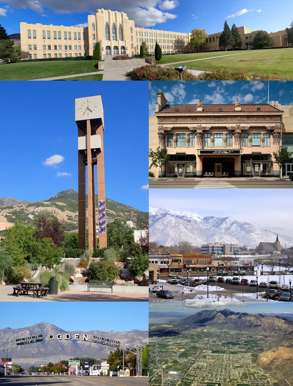
- Ogden: Historic 25th Street was once a notorious railway-station street; today it is lined with brick façades housing bars, shops and restaurants. At its end stands the 1924 Union Station with a railway museum, an automobile museum and a firearms museum (Browning). Larger vehicles can usually find space on the station square.
- CampingSpirit overnight tip
-
Official campsite or RV park: Willard Bay State Park, North Marina, around 20 kilometres north of downtown Ogden on the I-15 (exit 357): Willard Bay is a freshwater reservoir separated from the salt lake by dikes. The Willard Creek and Cottonwood campgrounds lie under cottonwoods on the shore; Cottonwood has full-hook-up sites, Willard Creek is simpler and without hook-ups. Showers and dump station in the park; in the winter half of the year parts of the campgrounds are closed. Reserve through Utah State Parks; summer weekends are busy.
Free camping or nature tip (where legal): There is no public land for free camping in the Ogden area. The nearest dispersed options are in the mountains of the Uinta-Wasatch-Cache National Forest east of Ogden – they belong to the CampingSpirit travel guide to Bear Lake, Cache Valley and the Wasatch.
- Insider tip for campers
- Willard Bay is notorious for mosquitoes, especially in early summer after high water – on still evenings, stay inside. If you want to avoid downtown Ogden in a large vehicle, park at Union Station and walk 25th Street. The weekly markets on 25th Street in summer bring fruit from the surrounding area – but it's cheaper at the fruit stands on the US-89 between Willard and Perry.
3Stage 3: Willard Bay to Brigham City (approx. 110 km)
- The drive
- On the I-15 to exit 363 at Brigham City, where the Bear River Migratory Bird Refuge visitor centre sits right by the motorway. From there Forest Street runs dead straight west for around 15 kilometres (9 miles) to the start of the Auto Tour Route: a one-way loop of about 19 kilometres (12 miles) on gravel dikes between stretches of water, speed limit 25 mph, slow and easily driven in any motorhome. Open from sunrise to sunset; check the route and any closures beforehand at the visitor centre or on the refuge's website. About 2.5 hours of driving in total, half a day with birdwatching. Then back to Brigham City and on the US-89 into Box Elder Canyon.
- Highlights & must-sees
- Bear River Migratory Bird Refuge: Where the Bear River flows into the salt water, pelicans, avocets, black-necked stilts, ibises and huge flocks of ducks rest in spring and autumn; in winter bald eagles perch on the posts. It's best to stay in your vehicle and only get out where signs permit it – the vehicle serves as a bird hide. Free admission.
- James V. Hansen Wildlife Education Center at exit 363: exhibition on the marshes, a short loop trail, toilets and recent bird sightings; the visitor centre is not open every day, so check opening times in advance.
- Brigham City: small pioneer settlement with a broad Main Street, the Box Elder Tabernacle with its spires, and the fruit stands on the US-89 between Brigham City and Willard, selling peaches and cherries in late summer.
- CampingSpirit overnight tip
-
Official campsite or RV park: Box Elder Campground (Uinta-Wasatch-Cache National Forest) near Mantua, around 6 kilometres east of Brigham City in the canyon on the US-89/91: sites under trees, drinking water and toilets, no electric hook-ups; season roughly spring to autumn, reservations usually via recreation.gov, check facilities and length limits when booking. Alternative with hook-ups: a second night at Willard Bay State Park.
Free camping or nature tip (where legal): Overnight stays are prohibited in the refuge, and the Auto Tour Route is only open during the day. There is hardly any public land around Brigham City; dispersed camping only further up in the mountains of the National Forest on designated tracks.
- Insider tip for campers
- The best time for the bird loop is early morning or the last hour before closing, when the sun falls low across the water. Open the windows only a crack: from May to September mosquitoes and horseflies are out in the marsh. On the way back, fill up with fuel and water in Brigham City – west of town the stretch without supplies begins.
4Stage 4: Brigham City to Golden Spike and Spiral Jetty (approx. 190 km)
- The drive
- West on the UT-13 through Corinne, then on the UT-83 through fields and dry hill country towards Promontory, past the facilities of a rocket motor manufacturer with an open-air garden of rocket stages. From the turn-off it's paved as far as the Golden Spike visitor centre. From there it's around 25 kilometres (just over 15 miles) to the Spiral Jetty on gravel and dirt tracks, marked with small signs, the last few kilometres rocky and potholed; in dry conditions passable slowly in cars and vans, not recommended for large motorhomes and rigs with trailers, muddy after rain and then not advisable. Allow around an hour each way for the track. Return the same way to Brigham City and Willard Bay. No petrol station, no water and usually no mobile signal between Corinne and the Jetty.
- Highlights & must-sees
- Golden Spike National Historical Park at Promontory Summit: Here, on 10 May 1869, the Central Pacific and Union Pacific met and completed the first transcontinental railroad. From early May to mid-October the working replicas of the locomotives Jupiter and No. 119 run daily to the site of the ceremony (except on maintenance days); in winter they stand in the engine house, with tours as scheduled. Admission per vehicle; visitors without US residency pay higher fees at some national parks – check current amounts on nps.gov.
- East Grade and West Grade: two short gravel drives along the old railway embankments; at the end of the East Grade the Big Fill Loop Trail leads to the huge embankment the Central Pacific built up while the Union Pacific constructed a wooden trestle alongside it, whose abutments can still be seen. The West Grade commemorates the record of just over 10 miles of track laid in a single day.
- Spiral Jetty: Robert Smithson's 1970 land art work at Rozel Point, a spiral of basalt boulders around 460 metres long in lake water that is coloured reddish by microorganisms in the cut-off north arm of the lake. Depending on the water level, the spiral is under water, in the water or entirely on dry salt crust – in which case you can walk along it to the centre.
- CampingSpirit overnight tip
-
Official campsite or RV park: There is no campground at Golden Spike or at the Spiral Jetty. After the return drive: Willard Bay State Park (North Marina) with hook-ups, showers and dump station, around 15 kilometres south of Brigham City; alternatively a second night at Box Elder Campground near Mantua.
Free camping or nature tip (where legal): The land around the Spiral Jetty is mostly state and private land without designated sites, toilets or water; no campground is provided there. The Dia Art Foundation and the Utah Museum of Fine Arts, which look after the work, ask visitors to take everything back out with them. Camping is prohibited in Golden Spike National Historical Park. If you want to spend the night off the beaten track, check property boundaries on a map showing land ownership – much of the north shore is fenced grazing land.
- Insider tip for campers
- Set off on the track with a full tank, plenty of water and a checked spare wheel; the rocks at the Jetty are sharp-edged and help is far away. The track is signposted at the Golden Spike station, and directions are available at the visitor centre. Wear sturdy shoes for the salt crust, which gives way in places and has black, foul-smelling mud underneath. Just before the Jetty, at Rozel Point, there are old oil-drilling piers and natural tar seeps – don't step in them.
5Stage 5: Willard Bay to Grantsville (Tooele Valley) (approx. 150 km)
- The drive
- Back south on the I-15 through Ogden and Salt Lake City, then west on the I-80 past the airport. Beyond the city the shore opens up: the lake on the right, the Oquirrh Mountains with the waste heaps of copper mining on the left. At exit 104 are the Great Salt Lake State Park and the Saltair concert venue. Continue via Lake Point into the Tooele Valley to Stansbury Park, Tooele and Grantsville. Four lanes as far as the exit, then quiet country roads. Pure driving time around 2 hours. Lake Point, Tooele and Grantsville have the last large supermarkets and petrol stations before the salt desert.
- Highlights & must-sees
- Great Salt Lake State Park: marina on the south shore with a visitor centre and an exhibition on the lake, a jetty into the shallow water and an open view to the west – one of the best places for sunset on the lake. When the water level is low, parts of the harbour lie dry; day-use fee.
- Saltair: The present building with its Moorish domes recalls the great bathing pavilions that stood on this site from 1893 and burned down twice. Today it is a concert hall; from outside it's a photo subject, especially in evening light. The shore in front of it shows clearly how far the lake has retreated in dry years.
- Tooele and Stansbury Park, briefly: The Benson Grist Mill, a pioneer-era grain mill, lies near Stansbury Park; in Tooele a small museum with an outdoor area tells the story of the railway and mining. If you like, look out from the slopes above Grantsville to Stansbury Island in the lake.
- CampingSpirit overnight tip
-
Official campsite or RV park: The Forest Service campgrounds in South Willow Canyon south of Grantsville (Uinta-Wasatch-Cache National Forest), such as Cottonwood, Intake, Boy Scout, Lower and Upper Narrows, and Loop: small, shady sites by a mountain stream, vault toilets, little or no drinking water, no hook-ups; the road becomes narrow and steep and the pitches are short – only for vans and small motorhomes, season only in the summer half of the year, check status beforehand. Larger vehicles should use private RV parks in the Tooele Valley or stay another night at Willard Bay or on Antelope Island.
Free camping or nature tip (where legal): Overnight stays are prohibited at Great Salt Lake State Park and at Saltair. In the Tooele Valley there is a lot of BLM land in the mountains to the west and south, where dispersed camping for up to 14 days is allowed under general BLM rules; access is often via gravel tracks, so check property boundaries beforehand. The Dugway military area and the Utah Test and Training Range to the south-west are restricted areas.
- Insider tip for campers
- Top everything up here once more: fuel, drinking water, food and gas. On the I-80 to Wendover there are hardly any supplies for around 160 kilometres. If you're in Salt Lake City in winter, you'll often experience a temperature inversion with thick haze – then the view of the lake is gone anyway, and the detour west brings clear air.
6Stage 6: Grantsville to Wendover (approx. 175 km)
- The drive
- Via Lake Point back onto the I-80 heading west: the interstate runs almost dead straight through the salt desert, and the speed limit here is up to 80 mph (129 km/h) – watch the signs. In between there are only a few exits to industrial plants, military land and tracks; petrol stations and shops are absent over long stretches, and mobile coverage is patchy. Crosswinds and dust storms can arise suddenly, and summer heat above 35 degrees is normal. At exit 4 the access road to the Bonneville Speedway branches off to the north, around 8 kilometres (5 miles) paved to the car park on the salt. Pure driving time about 2 hours. Wendover sits right on the state line; across it, in West Wendover, Nevada begins.
- Highlights & must-sees
- I-80 rest area east of Wendover (around mile 10, accessible from both directions): viewing platform and information boards on the salt desert and the former Lake Bonneville, whose old shorelines can be seen on the mountains as horizontal terraces. A safe place to walk out onto the salt without driving.
- Bonneville Salt Flats and Bonneville Speedway: a hard, white salt surface where speed records have been set for over a hundred years. Driving on it is allowed when the salt is dry; in winter and spring there is often water standing on it, and it is then closed. Between roughly late June and late September the salt is largely closed to the public during race weeks – check dates with the BLM.
- Wendover Airfield: former World War II training airfield for bomber crews, with a museum and the hangar that housed the Enola Gay. On the Nevada side, the neon cowboy “Wendover Will” waves you in.
- CampingSpirit overnight tip
-
Official campsite or RV park: There are no public campgrounds with facilities in Wendover; private RV parks with hook-ups are mainly in West Wendover (Nevada). Basic and without facilities: primitive camping on BLM land around the salt desert, for instance at the Silver Island Mountains north of the Speedway – no water, no toilets, no shade.
Free camping or nature tip (where legal): Overnight stays on the salt surface itself are prohibited. Primitive camping is allowed on the adjacent BLM land (generally up to 14 days), ideally on firm ground away from the salt. The tracks around the Silver Island Mountains are not maintained; a high-clearance vehicle is recommended, and after rain you'll get stuck in the mud. Some casinos in West Wendover tolerate motorhomes in their car parks – only after checking with security.
- Insider tip for campers
- Salt doesn't belong on your underbody: after every drive on the salt or on salty tracks, find a car wash in Wendover with underbody wash, or at least thoroughly hose down wheel arches, brakes, axles and underbody with fresh water – otherwise the salt crust eats into brake lines and chassis. Never drive onto the salt in darkness, in rain or when the salt is wet, and never faster than you can calmly stop – ruts and soft spots are hard to see. On time zones: Wendover and West Wendover both use Mountain Time, even though the rest of Nevada uses Pacific Time; the boundary lies further west along the I-80. If you're continuing to Elko, the connection is in the CampingSpirit travel guide to the Ruby Mountains.
Camping practice & local rules
Wild camping & overnight parking
- Utah draws a sharp distinction by landowner: on BLM land and in the National Forest dispersed camping is usually allowed, as a rule for up to 14 days in the same place unless signed otherwise. In state parks, wildlife refuges, wildlife management areas and national parks, only at designated sites. Along the Wasatch Front between Ogden and Salt Lake City there is practically no free land.
- The shores of the Great Salt Lake are partly state land, partly private land, military land or protected areas; driving past barriers and driving on shore flats is prohibited in many places. Overnight stays on the Bonneville salt surface are prohibited; camping only on the adjacent BLM land.
- Reservations: Utah State Parks (Antelope Island, Willard Bay) via the reservation system on stateparks.utah.gov or by phone, at least two days in advance; at short notice it's first come, first served. Forest Service sites via recreation.gov. Utah State Parks usually charge a day-use fee per vehicle in addition to the campsite fee; for overnight stays it is often included – check when booking.
- Federal areas: Golden Spike is a National Park Service site with an entrance fee; visitors without US residency pay higher fees at some heavily visited national parks – check current amounts on nps.gov. The America the Beautiful Pass is valid at Golden Spike and on federal land, not in Utah State Parks.
- Interstate rest areas are for taking a break, not for camping; supermarket car parks only with the store's permission. Casino car parks in West Wendover only after asking.
- Apps: iOverlander, Campendium, The Dyrt and Recreation.gov; for property boundaries, map apps with a land-ownership layer are helpful. Park4Night is not widely used in Utah.
Waste disposal & supplies
- Dump stations on Antelope Island (Bridger Bay) and in Willard Bay State Park, plus at large truck stops along the I-15 and at private RV parks; in Wendover only at private sites and a few petrol stations – ask first.
- Drinking water: On Antelope Island the supply may be restricted because of construction work – check the status and fill your tank beforehand. West of Tooele there is practically no water until Wendover. In the heat, allow at least 5 litres per person per day, plus a reserve.
- Empty grey water and chemical toilets only at dump stations; discharging on salt flats, in marshes or on BLM land is prohibited.
- Propane: petrol stations, DIY stores and RV dealers along the Wasatch Front fill US cylinders and built-in tanks; European cylinders are generally not filled. Only limited options in Wendover.
- Electricity: Utah State Park sites with hook-ups usually offer 30, sometimes 50 A; Forest Service and BLM land have no electricity. Solar panels pay off in the sunshine over the salt desert.
- Fuel and shopping: supermarkets in Salt Lake City, Layton, Ogden, Brigham City, Tooele and Grantsville. Between Corinne and the Spiral Jetty, and on the I-80 between the Tooele Valley and Wendover, there are few or no supplies.
Vehicle size & traffic rules
- Speed limits: interstates in Utah mostly 65–75 mph, up to 80 mph on the I-80 west of the Tooele Valley; considerably lower in town. There is no separate limit for vehicles towing trailers, but in a motorhome and in crosswinds a moderate speed is sensible.
- Alcohol: In Utah the blood alcohol limit is 0.05 per cent – stricter than in the other states. Open alcohol containers in the passenger area are prohibited. Phones at the wheel only hands-free.
- Tolls: There are no conventional toll roads on the route. The Express Lanes on the I-15 in the Salt Lake City area are free for carpools and usable by solo drivers only with an electronic pass – in a motorhome, use the normal lanes. There are no low-emission zones.
- Salt corrosion: Drives onto the salt surface, over salty tracks along the lakeshore and on gritted roads in winter take their toll on the underbody. Afterwards hose down with fresh water and check the brakes. Many rental agreements expressly prohibit driving off paved roads – check beforehand.
- Heat and weather: From June to September temperatures of 35 degrees and more are normal in the salt lake basin, and the salt surface strongly reflects sun and UV. Thunderstorms bring gusts and dust, and after rain tracks become impassable. In winter, temperature inversions with poor air quality are common along the Wasatch Front, and the I-80 can be icy.
- Lake level and smell: The water level of the Great Salt Lake fluctuates greatly; in dry years shores, marinas and parts of the Spiral Jetty lie dry, and dust from the exposed flats can affect air quality. The sulphur smell on windless days comes from algae and sediments and is harmless.
- Time zone: Utah is in the Mountain Time Zone, as is West Wendover on the Nevada side; further west in Nevada, Pacific Time applies. Check reservation times and opening hours accordingly.
- Emergency: 911. Mobile coverage is good along the Wasatch Front, patchy on Antelope Island and on the I-80, and often non-existent between Golden Spike and the Spiral Jetty.
CampingSpirit packing & preparation checklist
- Garden pressure sprayer or hose connection with fresh water: to rinse the worst of the salt off wheel arches, brakes and underbody straight after the salt flats and the lakeshore tracks.
- Extra water containers (at least 20 litres): drinking water on Antelope Island may be unavailable at times (check status), and there are no supplies on the I-80 or on the way to the Spiral Jetty.
- Head net and fine-mesh fly screens for door and windows: against the biting gnats on Antelope Island and the mosquitoes at Willard Bay and in the marshes.
- Polarised sunglasses, sun hat and sunscreen: the white salt surface is dazzling and intensifies UV light.
- Checked spare wheel, compressor and tyre repair kit: the gravel tracks to the Spiral Jetty and around the Silver Island Mountains are rocky, and help is far away.
- Binoculars or spotting scope: for pelicans and avocets at Bear River, eagles at Farmington Bay and the bison on Antelope Island.
As of 2026-10. Closures, fees and booking rules change: check official sources before you go.