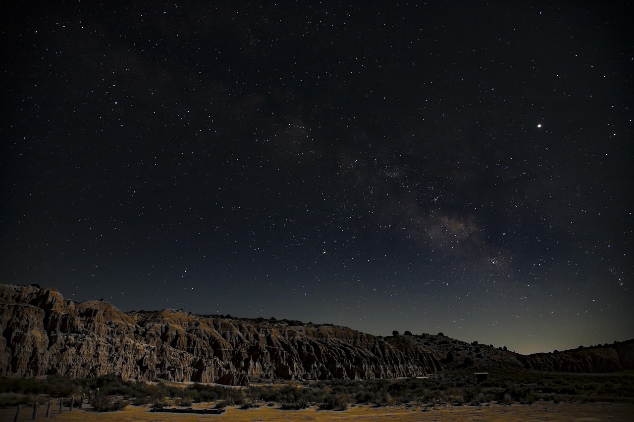
📷 Photo by Royce Fonseca on Unsplash
Mammoth Lakes, June Lake Loop and the ghost town of Bodie
North on US-395 from Bishop to mountain lakes, a hot-spring gorge, basalt columns and California’s best-preserved gold-rush ghost town.
- Distance
- approx. 197 km (122 mi)
- Driving
- 2 h 11 min
- Suggested days
- 3
- Stops
- 8
- States
- CA
- Best time to go
- April–May and September–October
- Tolls and vignettes
- None expected
- Updated
- July 15, 2026
At a glance: 3-day road trip of about 197 km (122 mi) with 8 stops, from Bishop to Bridgeport. About 2 h 11 min of driving in total. Best time to go: April–May and September–October. No toll roads expected for a car.
More road trips in California
Photos along the route


Route description
From Bishop, US-395 climbs Sherwin Grade to the Long Valley caldera. Convict Lake is two miles off the highway, below the banded cliffs of Mount Morrison, with a flat trail around the shore. A few miles on, Hot Creek Geological Site shows boiling springs bubbling into a cold creek; walk the path down but stay out of the water.
Mammoth Lakes is the main town of the Eastern Sierra, with fuel, supermarkets and many campgrounds. In summer, private vehicles are normally restricted on Reds Meadow Road and a shuttle runs from Mammoth Mountain’s Main Lodge to Devils Postpile National Monument; road reconstruction has also limited opening days, so check the schedule. Walk to the basalt columns in a few minutes, then continue about two and a half miles to Rainbow Falls.
North of Mammoth, leave US-395 for the June Lake Loop, a 16-mile scenic byway on SR-158 past four lakes below steep peaks. The loop is most colourful in early October when the aspens turn; the northern part may be closed in winter. Rejoin US-395 and pass Mono Lake and Lee Vining, the gateway to Yosemite’s Tioga Road.
Before Bridgeport, turn east on SR-270 for Bodie State Historic Park, 13 miles up a road whose last three miles are rough gravel. About 100 buildings stand as they were left, with goods still on the shelves; allow two or three hours. Bring water, as there are no services, and expect snow to close the road in winter. Finish in Bridgeport, on the East Walker River.
Which stops are on the route from Bishop to Bridgeport?
In driving order. Distances are estimates between consecutive stops.
- 1Start
Bishop
CA - 257 km
Convict Lake
NatureMammoth Lakes, CAA deep lake below the striped face of Mount Morrison, two miles off US-395 south of Mammoth. A flat trail of about 2.5 miles circles the shore; it is a popular fishing spot.
- 39 km
Hot Creek Geological Site
NatureMammoth Lakes, CAA small gorge where hot springs boil up into a cold trout stream in shades of blue. A paved path leads down from the parking area; swimming is prohibited because the water can surge without warning.
- 415 km
Mammoth Lakes
CA - 512 km
Devils Postpile National Monument
NatureMammoth Lakes, CAA wall of basalt columns above the San Joaquin River, with Rainbow Falls a few miles downstream. Reds Meadow Road has had limited opening days during reconstruction; in summer day visitors normally ride the shuttle from Mammoth Mountain’s Main Lodge.
- 621 km
June Lake Loop
NatureJune Lake, CAA 16-mile scenic loop on SR-158 past June, Gull, Silver and Grant lakes below steep Sierra peaks. It leaves US-395 at both ends; aspens turn gold in early October and the north end closes in winter.
- 758 km
Bodie State Historic Park
HistoryBridgeport, CAA gold-rush town left in arrested decay, with about 100 buildings still standing as they were abandoned. The last three miles of SR-270 are gravel; there is an entrance fee and snow often blocks the road in winter.
- 824 km
Bridgeport
CA
How do you drive the route from Bishop to Bridgeport in 3 days?
3 days, split by driving time. Campsites from OpenStreetMap: check opening dates before you go.
- Day 1: Bishop → Hot Creek Geological Site · 41 mi · 0 h 44 minOn the way: Convict Lake.Overnight nearby, for example: Mammoth Mountain RV Park (7 mi); Oh! Ridge Campground (16 mi).
- Day 2: Hot Creek Geological Site → June Lake Loop · 30 mi · 0 h 32 minOn the way: Mammoth Lakes, Devils Postpile National Monument.Overnight nearby, for example: Oh! Ridge Campground (1 mi); Mono Vista RV Park (13 mi).
- Day 3: June Lake Loop → Bridgeport · 51 mi · 0 h 54 minOn the way: Bodie State Historic Park.Overnight nearby, for example: Willow Springs RV Park (5 mi); Bridgeport Reservoir Marina & Campground (2 mi).
When is the best time for the route from Bishop to Bridgeport?
The most pleasant months are usually April–May and September–October. Still fine, with some compromises, in June and November. Hot in July. July and August are the busiest months: book campsites early.
Estimate from long-term temperature averages, terrain and pass seasons
More routes for the best months
Practical guides for this route

 Photo by Malivez on Unsplash
Driving in the US: The Rules European Visitors Most Often Get Wrong at the Wheel

 Photo by Aleksandr Dalakian on Unsplash
Fuel, Tolls and Distances: Practical US Driving Math for Motorhome and Camper Travelers

 Photo by Tracy Zhang on Unsplash
US national parks: entry fees, passes and reservations in plain terms
Themes
Plan this route for your vehicle
Scout adapts this route to your vehicle, your days and your budget.
FAQs
How long is Mammoth Lakes, June Lake Loop and the ghost town of Bodie?
3-day road trip of about 197 km (122 mi) with 8 stops, from Bishop to Bridgeport. About 2 h 11 min of driving in total.
How many days do you need for Mammoth Lakes, June Lake Loop and the ghost town of Bodie?
We suggest 3 days: about 2 h 11 min of driving, which leaves time for the stops.
Where does Mammoth Lakes, June Lake Loop and the ghost town of Bodie start and end?
It starts in Bishop and ends in Bridgeport.
Which states does Mammoth Lakes, June Lake Loop and the ghost town of Bodie pass through?
California.
Where can you camp along Mammoth Lakes, June Lake Loop and the ghost town of Bodie?
OpenStreetMap lists 142 campsites and motorhome stopovers within 19 mi of the stops on this route. For example: Oh! Ridge Campground, Mono Vista RV Park and Mammoth Mountain RV Park.